University of Minnesota
http://www.umn.edu/
612-625-5000
http://www.umn.edu/
612-625-5000
Minnesota Biodiversity Atlas
Dataset: CSBSJU
Search Criteria: Croatia; excluding cultivated/captive occurrences
1
Page 1, records 1-18 of 18
Bailey Herbarium at College of Saint Benedict/Saint John’s University | |
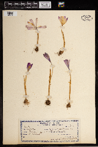
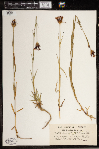
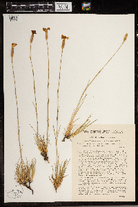
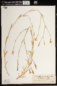
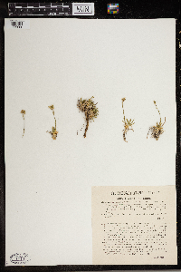
CSBSJU | 2114[05142]Adamovic 1860 Croatia, Dalmatia. In pascuis apricis herbidis prope Zaram, 50m |
CSBSJU | 7113[05224]Dobiasch, F. 63011913-00-00 Croatia, Austria |
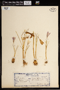
CSBSJU | 7116[05227]Dobiasch, F. 62981913-00-00 Croatia, Austria |
CSBSJU | 7117[05228]Dobiasch, F. 62991913-00-00 Croatia, Austria |
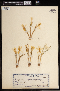
CSBSJU | 2834[10306]Pichler 538 Croatia |
CSBSJU | 2299[10311]Vukotinovie 534 Croatia, Kalj and Samebor Mountain, central region of Croatia |
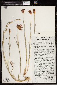
CSBSJU | 2407[10320]Pichler 544 Croatia, Vellebith mountain range, slopes of Mount Metler near Ostarje, 1200m |
CSBSJU | 1794[10328]Pichler 51 Croatia, Dalmatia, Near Salona |
CSBSJU | 2338[09993]Pichler 567 Croatia, Dalmatia region, on the crest of the Biokovo mountain ridged |
CSBSJU | 1858[10126]Pichler 1016 Croatia, Dalmatia region, near Mascarscam |
CSBSJU | 1859[10127]Pichler 1016 Croatia, Dalmatia region, near Macarscam |
CSBSJU | 2261[10438]Pichler 553 Croatia, Dalmatia, Near Clissam, near Salonam |
CSBSJU | 2355[10439]Pichler 57 Croatia, Dalmatia, Hills of Biokovo to Macarsca |
CSBSJU | 2308[11462]Pichler 517 Croatia, Velebit mountains, Mount Lubitzko Brdo near Ostarje, 1500m |
CSBSJU | 1874[11471]Pichler 1011 Croatia, Dalmatia, By the sea, near Trau |
CSBSJU | 2240[11989]Pichler 69 Croatia, Dalmatia, Mount Marian at Spalatum |
CSBSJU | 2732[14257]Pichler 127 Croatia, Dalmatia |
CSBSJU | 2333[23915]Vukotinovic 1400 Croatia, 1400m |
1
Page 1, records 1-18 of 18
Google Map
Google Maps is a web mapping service provided by Google that features a map that users can pan (by dragging the mouse) and zoom (by using the mouse wheel). Collection points are displayed as colored markers that when clicked on, displays the full information for that collection. When multiple species are queried (separated by semi-colons), different colored markers denote each individual species.

