University of Minnesota
http://www.umn.edu/
612-625-5000
http://www.umn.edu/
612-625-5000
Minnesota Biodiversity Atlas
Bell Museum
Dataset: MIN-Plants
Search Criteria: Bermuda; excluding cultivated/captive occurrences
1
Page 1, records 1-9 of 9
Bell Museum plants | |
 MIN:Plants | 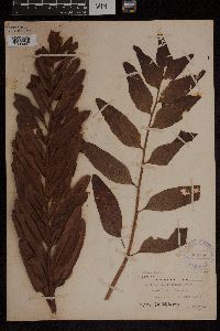 Acrostichum danaeifolium Langsd. & Fisch. 368550[1303057]Degener, O. 3061921-08-16 Bermuda, Paget, Paget marsh, 32.285 -64.776944 |
MIN:Plants | 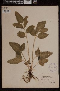 368556[1303075]Degener, O. 3071921-08-16 Bermuda, Bermuda, Paget, Paget marsh, 32.285 -64.776944 |
MIN:Plants | 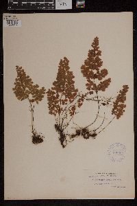 Adiantum bellum T.Moore 368555[1303345]Degener, Otto s.n.1921-09-13 Bermuda, Bermuda, Paget |
MIN:Plants | 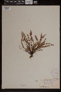 Asplenium heterochroum Kunze 368551[1307272]Degener, O. 12,5041921-08-08 Bermuda, Bermuda, Paget Marsh, 32.285 -64.776944 |
MIN:Plants | 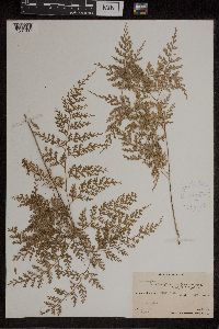 Asplenium gibberosum (Forst.) Mett. 417696[1307937]St. John, H. 149671934-06-13 Bermuda, Pitcairn, Henderson, Ducie and Oeno Islands, Pitcairn Island; Parlver Valley Ridge, -24.506329 -128.349121, 320m |
MIN:Plants | 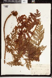 Dryopteris sciaphila Maxon 416286[1326809]St. John, H. 149681934-06-13 Bermuda, Pitcairn, Henderson, Ducie and Oeno Islands, Pitcairn Island; Parlver Valley Ridge, 310m |
MIN:Plants | 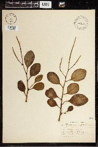 447471[1350164] s.n. Bermuda, Paget Swamp, 32.28499 -64.776626 |
MIN:Plants | 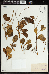 353964[1350165] 24361921-08-10 Bermuda, Paget Marsh., 32.28499 -64.776626 |
MIN:Plants |  Psilotum nudum (L.) Palisot de Beauvois 1170[1391901] Bermuda |
1
Page 1, records 1-9 of 9
Google Map
Google Maps is a web mapping service provided by Google that features a map that users can pan (by dragging the mouse) and zoom (by using the mouse wheel). Collection points are displayed as colored markers that when clicked on, displays the full information for that collection. When multiple species are queried (separated by semi-colons), different colored markers denote each individual species.