University of Minnesota
http://www.umn.edu/
612-625-5000
http://www.umn.edu/
612-625-5000
Minnesota Biodiversity Atlas
Bell Museum
Dataset: MIN-Plants
Search Criteria: Dominica; excluding cultivated/captive occurrences
1
Page 1, records 1-14 of 14
Bell Museum plants | |
 MIN:Plants | Stelis micrantha (Sw.) 611394[1323061]Wilbur, R.L. Dominica, Detailed locality information protected. This is typically done to protect rare or threatened species localities. |
MIN:Plants | 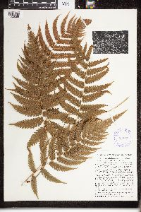 Dryopteris clypeolutata Weath. 366653[1326288]Hodge, W.H. 10021940-02-19 Dominica, Ravine Mang Blanc, Sylvania Estate, 488m |
MIN:Plants | 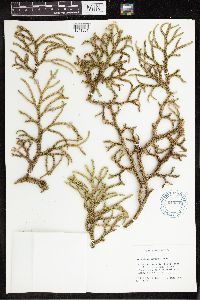 Lycopodium tortum Sieber ex L.Underw. & F.Lloyd 619298[1341631]Burch, D. 13881969-06-01 Dominica, 1 mi E of Fresh Water Lake, 15.343183 -61.293131 |
MIN:Plants | 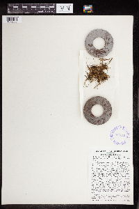 Polypodium duale Maxon 366649[1379055] Dominica |
MIN:Plants | 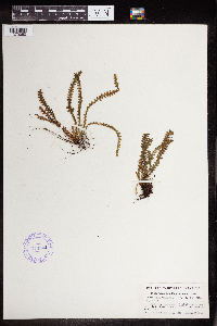 Polypodium knowltoniorum Hodge 373504[1379080] Dominica |
MIN:Plants | 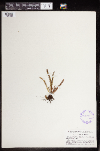 366648[1379193] Dominica |
MIN:Plants | 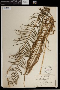 Pteris longifolia Cav. 220536[1383508] Dominica |
MIN:Plants | 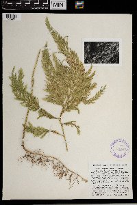 Selaginella flabellata (L.) Spring 366646[1372541] Dominica |
MIN:Plants |  Selaginella porelloides (Lam.) Spring 220333[1372555] Dominica |
MIN:Plants | 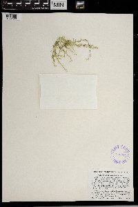 366645[1372560] Dominica |
MIN:Plants | 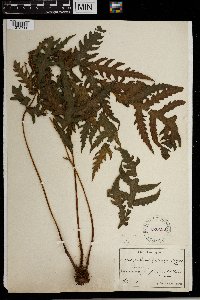 220430[1372711] Dominica |
MIN:Plants | 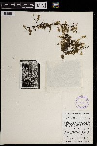 Trichomanes krausii Hook. & Grev. 366654[1393393] Dominica |
MIN:Plants | 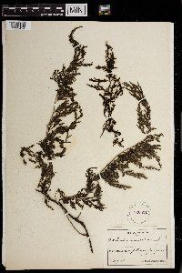 Trichomanes radicans Hook. & Grev. 220531[1393424]P.M. Fuertes 9401911-08-00 Dominica, 1200m |
MIN:Plants |  220524[1393433] Dominica |
1
Page 1, records 1-14 of 14
Google Map
Google Maps is a web mapping service provided by Google that features a map that users can pan (by dragging the mouse) and zoom (by using the mouse wheel). Collection points are displayed as colored markers that when clicked on, displays the full information for that collection. When multiple species are queried (separated by semi-colons), different colored markers denote each individual species.