University of Minnesota
http://www.umn.edu/
612-625-5000
http://www.umn.edu/
612-625-5000
Minnesota Biodiversity Atlas
Bell Museum
Dataset: MIN-Plants
Search Criteria: Kenya; excluding cultivated/captive occurrences
1
Page 1, records 1-5 of 5
Bell Museum plants | |
 MIN:Plants | 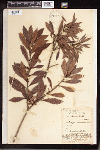 Myrica mexicana Humb. & Bonpl. ex Willd. 960437[1318930]Greenway, P.J. 60331940-02-10 Kenya, Amani, 884m |
MIN:Plants | 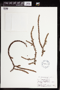 Crassula parvifolia E.A.Bruce 610090[1347039]Bally, P.R.O. 54.008 Kenya, From the Ngong Hills near Nairobi., -1.2833 36.8333 |
MIN:Plants | 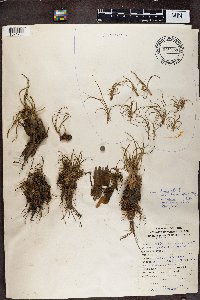 0969288[1374733]J. Gaudet LN821974-03-00 Kenya, Lake Naivasha, 0.75 36.166667, 1890m |
MIN:Plants | 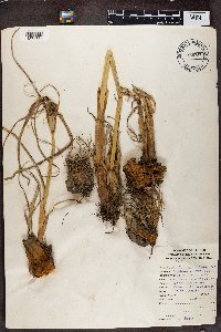 0969287[1374734]Gaudet, J. LN821974-03-00 Kenya, Lake Naivasha, -0.75 36.166667, 1890m |
MIN:Plants | 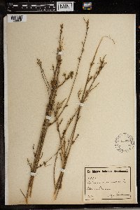 Hibiscus micranthus L. f. 153253[1369849] 63471894-00-00 Kenya |
1
Page 1, records 1-5 of 5
Google Map
Google Maps is a web mapping service provided by Google that features a map that users can pan (by dragging the mouse) and zoom (by using the mouse wheel). Collection points are displayed as colored markers that when clicked on, displays the full information for that collection. When multiple species are queried (separated by semi-colons), different colored markers denote each individual species.