University of Minnesota
http://www.umn.edu/
612-625-5000
http://www.umn.edu/
612-625-5000
Minnesota Biodiversity Atlas
Bell Museum
Dataset: MIN-Plants
Search Criteria: Singapore; excluding cultivated/captive occurrences
1
Page 1, records 1-22 of 22
Bell Museum plants | |
 MIN:Plants | Ficus auriculata Lour. 431585[]Weiblen, G.D. GW10801998-07-15 Singapore |
MIN:Plants | 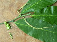 Streblus elongatus (Miq.) Corner 431601[]Weiblen, G.D. GW20022003-11-11 Singapore, Singapore Botanic Garden, 1.4 103.816667 |
MIN:Plants | 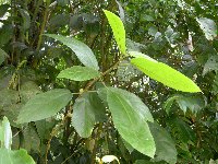 Ficus fulva Reinw. ex Blume 432505[]Weiblen, G.D. GW20002003-11-03 Singapore, Singapore Botanic Garden, 1.4 103.816667 |
MIN:Plants | 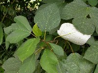 Ficus grossularoides Burm f. 488310[]Weiblen, G.D. GW20012003-11-03 Singapore, Singapore Botanic Garden, 1.4 103.816667 |
MIN:Plants | 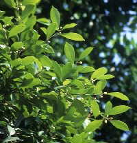 Ficus vasculosa Wall. ex Miq. 431529[]Weiblen, G.D. GW10771998-07-15 Singapore |
MIN:Plants | 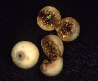 Ficus virens Aiton 431514[]Weiblen, G.D. GW10791998-07-15 Singapore |
MIN:Plants | 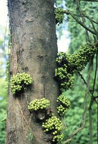 Ficus variegata Bl. 431552[]Weiblen, G.D. GW10811998-07-15 Singapore |
MIN:Plants | 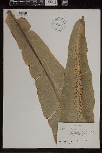 608923[1307802]Kaul, Robert B. 18241961-11-07 Singapore, N end of Nassim Rd., 1.352087 103.846008 |
MIN:Plants | 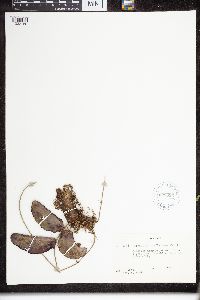 Dischidia rafflesiana Wall. 608895[1332150]Kaul, R.B. 18381961-11-08 Singapore |
MIN:Plants | 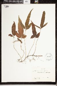 Dryopteris triphylla (Sw.) C.Chr. 608920[1326842]Kaul, Robert B. 18521961-11-19 Singapore, Cluny Road |
MIN:Plants | 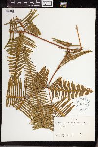 Dicranopteris linearis (Burm. f.) Underw. 608896[1338166]Kaul, R.B. 18271961-11-08 Singapore, [no further info] |
MIN:Plants | 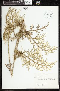 608910[1341796]Kaul, Robert B. 18681961-11-26 Singapore, MacRitchie Reservoir |
MIN:Plants | 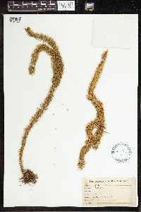 Lycopodium hookeri Wall. ex Hook. & Grev. 220325[1341854]Lugger, Otto s.n.1879-07-16 Singapore |
MIN:Plants | 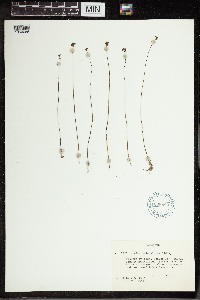 Utricularia albina Ridl. 608889[1350066]Kaul, Robert B. 18701961-11-26 Singapore, Near MacRitchie Reservoir, 1.345 103.823889 |
MIN:Plants | 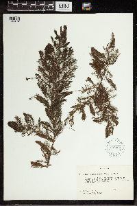 Utricularia flexuosa Vahl 608902[1350074]Kaul, Robert B. 18101961-10-31 Singapore, North end of Nassim Road, 1.306832 103.826589 |
MIN:Plants | 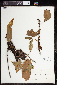 608890[1379291] Singapore |
MIN:Plants | 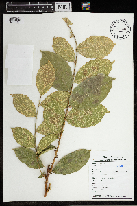 965692[1356511]X.Y. Ng SING 2018-7722018-08-14 Singapore, Nee Soon Freshwater Swamp Forest; currently cultivated in PPN |
MIN:Plants | 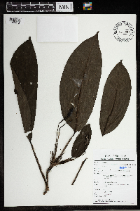 Anadendrum microstachyum (de Vriese & Miq.) Backer & Alderw. 965693[1356512]C.M. Boo SING 2018-8192018-08-06 Singapore, Mandai, within Zoo Animal Quarantine area, about 50m from the Upper Seletar reservoir |
MIN:Plants | 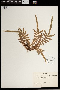 Pteris longifolia Cav. 608899[1383574] Singapore |
MIN:Plants | 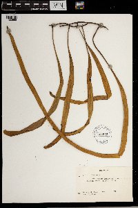 Pyrrosia Mirb. 608922[1383598] Singapore |
MIN:Plants | 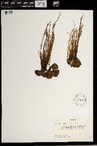 608898[1383686] Singapore |
MIN:Plants |  Schizoloma Gaudich. 608921[1383745] Singapore |
1
Page 1, records 1-22 of 22
Google Map
Google Maps is a web mapping service provided by Google that features a map that users can pan (by dragging the mouse) and zoom (by using the mouse wheel). Collection points are displayed as colored markers that when clicked on, displays the full information for that collection. When multiple species are queried (separated by semi-colons), different colored markers denote each individual species.