University of Minnesota
http://www.umn.edu/
612-625-5000
http://www.umn.edu/
612-625-5000
Minnesota Biodiversity Atlas
Bell Museum
Dataset: MIN-Plants
Search Criteria: Suriname; excluding cultivated/captive occurrences
1
Page 1, records 1-8 of 8
Bell Museum plants | |
 MIN:Plants | 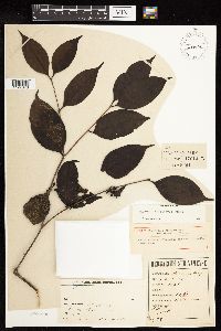 289414[1127676]B.W. 64611924-03-05 Suriname, Brownsberg |
MIN:Plants | 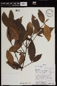 461090[1299658] Suriname |
MIN:Plants | 461081[1299659] Suriname, Detailed locality information protected. This is typically done to protect rare or threatened species localities. |
MIN:Plants | 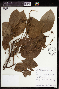 Aparisthmium cordatum (A. Juss.) Baill. 475976[1351273]Evans, Randy 18501994-07-01 Suriname, Para, Along road from Zanderij to Kraka, 4.4 km from intersection with Zanderij Hwy, 0.5 km before bridge over Sabakoe Creek., 5.422898 -55.193131, 25m |
MIN:Plants | 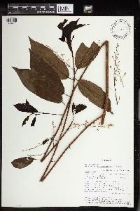 461085[1352341] Suriname |
MIN:Plants | 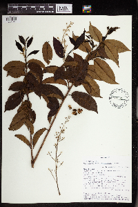 461058[1352342] Suriname |
MIN:Plants | 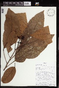 Sagotia racemosa Baill. 461054[1352401] Suriname |
MIN:Plants | 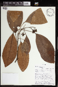 Sagotia racemosa Baill. 461086[1352402] Suriname |
1
Page 1, records 1-8 of 8
Google Map
Google Maps is a web mapping service provided by Google that features a map that users can pan (by dragging the mouse) and zoom (by using the mouse wheel). Collection points are displayed as colored markers that when clicked on, displays the full information for that collection. When multiple species are queried (separated by semi-colons), different colored markers denote each individual species.