University of Minnesota
http://www.umn.edu/
612-625-5000
http://www.umn.edu/
612-625-5000
Minnesota Biodiversity Atlas
Bell Museum
Dataset: MIN-Plants
Taxa: Malpighiaceae
Search Criteria: excluding cultivated/captive occurrences
1
Page 1, records 1-8 of 8
Bell Museum plants | |
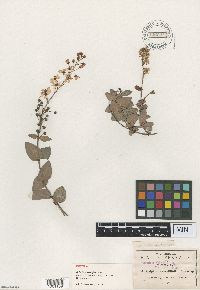
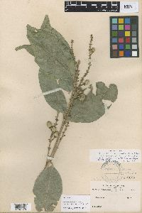
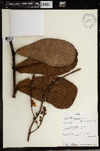
MIN:Plants | 488158[]Weiblen, G.D. GW14542001-10-12 Peru, Cocha Cashu, Manu National Park, -12.25 -70.9, 295m |
MIN:Plants | Byrsonima pulchra de Candolle 535658[]Lundell, C. 30071933-04-25 Guatemala, Peten, La Libertad |
MIN:Plants | 535239[]Stork, H. 26151928-06-18 Panama, R.R. track 1 mi. East of Cartago., 1433m |
MIN:Plants | 939768[]P 502011-06-21 Costa Rica, Guanacaste, Liberia, , 10.84 -85.61, 320m |
MIN:Plants | 146624[1001189]Pringle, C.G. 49011894-08-01 Mexico, Oaxaca, Las Sedas, 1829m |
MIN:Plants | Bunchosia pilocarpa Rusby 146604[1000478]Bang, M. 22490000-00-00 Bolivia, [no further data] |
MIN:Plants | Janusia gracilis A. Gray 283533[]Moore, J. A. 33581931-07-04 United States, Texas, Brewster, Chisos Mountains. Oak Canyon. [Big Bend National Park], 1370m |
MIN:Plants | Acridocarpus macrocalyx Engl. 492295[1369501]J. Dibata 11461993-08-01 Gabon, Ogooue-Lolo, Foret des Abeilles. 7 km NNE of confluence Gongue-Offoue., -0.7 11.933333 |
1
Page 1, records 1-8 of 8
Google Map
Google Maps is a web mapping service provided by Google that features a map that users can pan (by dragging the mouse) and zoom (by using the mouse wheel). Collection points are displayed as colored markers that when clicked on, displays the full information for that collection. When multiple species are queried (separated by semi-colons), different colored markers denote each individual species.


