University of Minnesota
http://www.umn.edu/
612-625-5000
http://www.umn.edu/
612-625-5000
Minnesota Biodiversity Atlas
Bell Museum
Dataset: MIN-Plants
Taxa: Micropeltidaceae
Search Criteria: excluding cultivated/captive occurrences
1
Page 1, records 1-9 of 9
Bell Museum plants | |
 MIN:Plants | 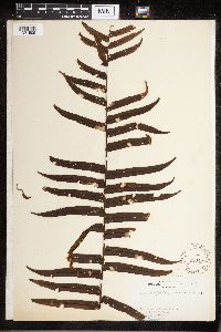 Cyclopeltis semicordata (Sw.) Sm. 220481[1321509]Stevenson 2301912-04-21 United States, Puerto Rico, Rio Piedras |
MIN:Plants | 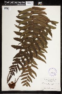 Cyclopeltis semicordata (Sw.) Sm. 336766[1321510]Seibert, R.J. 5551935-07-30 Panama, Vicinity of Madden Dam, near Rio Chagres, 50 - 75m |
MIN:Plants | 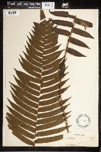 Cyclopeltis semicordata (Sw.) Sm. 51736[1321511]Pollard, C.L. 251902-01-24 Cuba, Santiago, Vicinity of Baracoa |
MIN:Plants | 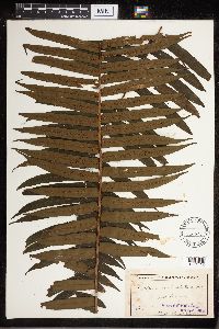 Cyclopeltis semicordata (Sw.) Sm. 52453[1321512]Butler, E. 1891-07-00 Jamaica, Port Antonio |
MIN:Plants | 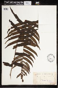 Cyclopeltis semicordata (Sw.) Sm. 52454[1321513]Butler, E. 1891-07-00 Jamaica, Port Antonio |
MIN:Plants | 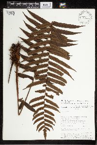 Cyclopeltis semicordata (Sw.) Sm. 476147[1321514]Timana, M. 26191991-10-15 Peru, Tabopata, Madre de Dios: Las Piedras, Cusco Amazónico, 200m |
MIN:Plants | 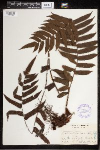 Cyclopeltis presliana (J.Sm.) Berk. 349312[1321515]Topping, D.L. 10631908-12-13 Philippines, Wawa, Rizal, Luzon |
MIN:Plants | 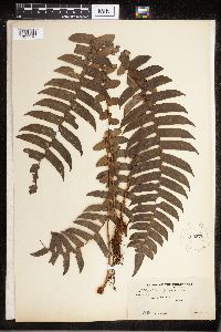 Cyclopeltis presliana (J.Sm.) Berk. 220376[1321516]Weber, C.M. 15481912-01-00 Philippines, Cagayan, Abulug River. Luzon. |
MIN:Plants | 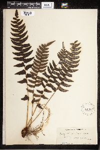 Cyclopeltis presliana (J.Sm.) Berk. 220377[1321517]Weber, C.M. 15471912-01-00 Philippines, Cagayan Province, Abulug River, Luzon |
1
Page 1, records 1-9 of 9
Google Map
Google Maps is a web mapping service provided by Google that features a map that users can pan (by dragging the mouse) and zoom (by using the mouse wheel). Collection points are displayed as colored markers that when clicked on, displays the full information for that collection. When multiple species are queried (separated by semi-colons), different colored markers denote each individual species.