University of Minnesota
http://www.umn.edu/
612-625-5000
http://www.umn.edu/
612-625-5000
Minnesota Biodiversity Atlas
Bell Museum
Dataset: MIN-Plants
Taxa: Sellaginaceae
Search Criteria: excluding cultivated/captive occurrences
1
Page 1, records 1-12 of 12
Bell Museum plants | |
 MIN:Plants | 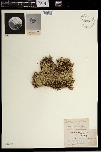 Selaginella scopulorum Maxon 55584[1372388]Macoun, John 9021905-07-11 Canada, British Columbia, Selkirk. Side above Revelstoke, 1311m |
MIN:Plants | 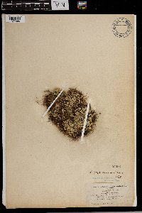 Selaginella scopulorum Maxon 55583[1372389]Underwood, L.M. 10601905-07-31 Canada, British Columbia, Selkirk., 51.75 -118.333333, 2286m |
MIN:Plants | 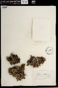 Selaginella scopulorum Maxon 565208[1372390]Cotter, Shirley 8261950-06-16 United States, South Dakota, Custer, West of Custer |
MIN:Plants | 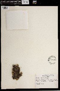 Selaginella scopulorum Maxon 527788[1372391]Weber, W.A. s.n.1954-07-03 United States, Colorado, Park, Along trail at bottom of Platte Gulch just above the Narrows ca. 5 mi. n.w. of Alma, 3353m |
MIN:Plants | 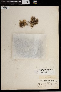 Selaginella scopulorum Maxon 300349[1372392] United States, New Mexico |
MIN:Plants | 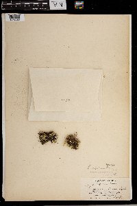 Selaginella scopulorum Maxon 55586[1372393] Canada, Alberta |
MIN:Plants | 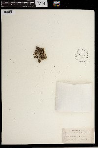 Selaginella scopulorum Maxon 433737[1372394] United States, Colorado |
MIN:Plants | 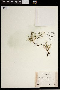 Selaginella scopulorum Maxon 451276[1372395] United States, Montana |
MIN:Plants | 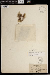 Selaginella scopulorum Maxon 86877[1372396] Canada, British Columbia |
MIN:Plants | 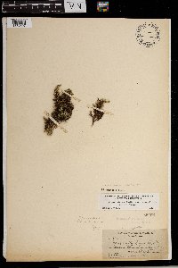 Selaginella scopulorum Maxon 55462[1372397] Canada, British Columbia |
MIN:Plants | 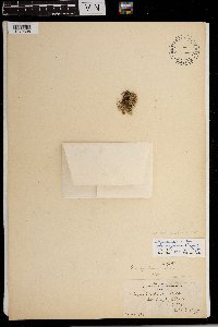 Selaginella scopulorum Maxon 55587[1372398] Canada, Alberta |
MIN:Plants | 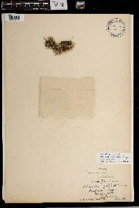 Selaginella scopulorum Maxon 55585[1372399] Canada, British Columbia |
1
Page 1, records 1-12 of 12
Google Map
Google Maps is a web mapping service provided by Google that features a map that users can pan (by dragging the mouse) and zoom (by using the mouse wheel). Collection points are displayed as colored markers that when clicked on, displays the full information for that collection. When multiple species are queried (separated by semi-colons), different colored markers denote each individual species.