University of Minnesota
http://www.umn.edu/
612-625-5000
http://www.umn.edu/
612-625-5000
Minnesota Biodiversity Atlas
Dataset: MIN-Lichens
Taxa: Leioderma
Search Criteria: excluding cultivated/captive occurrences
1
Page 1, records 1-6 of 6
Bell Museum lichens | |
 MIN:Lichens | 798831[]Nash, T. 242151985-12-14 New Zealand, The Boyle, Se Lewis Pass, -42.5166667 172.3833333 |
MIN:Lichens | 799173[]Tucker, S. 200671979-12-23 New Zealand, Stratford Mt.; Mount Egmont National Park, -39.688889 174.116667 |
MIN:Lichens | Leioderma duplicatum (Müll. Arg.) D.J. Galloway & P.M. Jørg. 864595[]Durietz, G. 45881927-08-28 Australia, New South Wales, Sydney District, Quarry Near The Coast In Middle Part of Park; National Park |
MIN:Lichens | 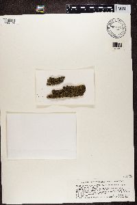 Leioderma duplicatum (Müll. Arg.) D.J. Galloway & P.M. Jørg. 832784[1360174]Streimann, H. Australia, New South Wales |
MIN:Lichens | 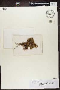 Leioderma glabrum D.J. Galloway & P.M. Jørg. 855033[1365197]Kalb, K. Brazil, Rio De Janeiro |
MIN:Lichens | 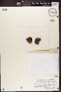 Leioderma duplicatum (Müll. Arg.) D.J. Galloway & P.M. Jørg. 880669[1387958]Du Rietz, G.E. Australia, New South Wales |
1
Page 1, records 1-6 of 6
Google Map
Google Maps is a web mapping service provided by Google that features a map that users can pan (by dragging the mouse) and zoom (by using the mouse wheel). Collection points are displayed as colored markers that when clicked on, displays the full information for that collection. When multiple species are queried (separated by semi-colons), different colored markers denote each individual species.