University of Minnesota
http://www.umn.edu/
612-625-5000
http://www.umn.edu/
612-625-5000
Minnesota Biodiversity Atlas
Dataset: MIN-Lichens
Taxa: Protothelenella
Search Criteria: excluding cultivated/captive occurrences
1
Page 1, records 1-10 of 10
Bell Museum lichens | |
 MIN:Lichens | 660802[]Vrang, E. s.n.1906-07-20 Sweden, Lappland, Torne Lappmark; Jukkasjarvi |
MIN:Lichens | 817815[]Poelt, J. s.n. United States, Colorado, Summit, North Star Mt, S of Quandary Peak |
MIN:Lichens | 843128[]Hellbom, P. s.n.1881-00-00 Sweden, Narke, St. Mellosa |
MIN:Lichens | 843251[]Fries, T. s.n.1864-00-00 Norway, Finnmark, Eloends |
MIN:Lichens | 883710[]Sudebetou, C. s.n.1881-00-00 Europe |
MIN:Lichens | 885263[]Nash, T. 430941992-08-26 Sweden, Lappland, Torne Lappmark; Torne Trask, 2 km Sw of Katterjack Station, 68.41666667 18.13333333 |
MIN:Lichens | 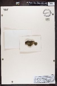 898909[1389077]Hafellner, J. Austria, Styria, Steiermark |
MIN:Lichens | 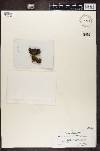 803868[1390423]Hafellner, J. Italy, Trentino-South Tyrol |
MIN:Lichens | 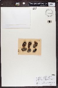 Protothelenella croceae (Bagl. & Carestia) Hafellner & H. Mayrhofer 858273[1385494]Santesson, R. Sweden, Norrbotten, Tornio Lappmark |
MIN:Lichens | 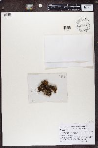 Protothelenella croceae (Bagl. & Carestia) Hafellner & H. Mayrhofer 858261[1385506]Hafellner, J. Austria, Carinthia, Karnten |
1
Page 1, records 1-10 of 10
Google Map
Google Maps is a web mapping service provided by Google that features a map that users can pan (by dragging the mouse) and zoom (by using the mouse wheel). Collection points are displayed as colored markers that when clicked on, displays the full information for that collection. When multiple species are queried (separated by semi-colons), different colored markers denote each individual species.