University of Minnesota
http://www.umn.edu/
612-625-5000
http://www.umn.edu/
612-625-5000
Minnesota Biodiversity Atlas
Dataset: CSBSJU
Search Criteria: Hungary; excluding cultivated/captive occurrences
1
Page 1, records 1-42 of 42
Bailey Herbarium at College of Saint Benedict/Saint John’s University | |
CSBSJU | 2125[05105]Steinitz Hungary, Detailed locality information protected. This is typically done to protect rare or threatened species localities. |
CSBSJU | 7122[05233]Richter, Aladar 62601908-06-30 Hungary, Dorda, Hungaria orientalis |
CSBSJU | 7125[05236]Bichter, Aladar 62581909-03-26 Hungary, Vodica near Assova |
CSBSJU | 1843[05653]Haynald 1474 Hungary, Count Pesthin, between Hajos and Nadudvar |
CSBSJU | 1845[05774]Holuby Hungary, Trentschin, Detailed locality information protected. This is typically done to protect rare or threatened species localities. |
CSBSJU | 1997[06454]Borbas & Steinitz 678 Hungary, In the sunny dry mountains at Buda Ors and in the mountain of eagles at Buda |
CSBSJU | 1890[05268]Wolff, G. and J. 1032 Hungary, Transsilvania centralis |
CSBSJU | 7767[05860]Richter, Aladar 35811906-04-12 Hungary, Flora Hungariae orientalis |
CSBSJU | 2225[05917]Haynald 72 Hungary, Hungaria orientalis |
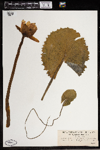
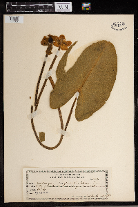
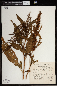
CSBSJU | Nuphar lutea (L.) Sm. 7707[05925]Holuby 34541896-07-00 Hungary |
CSBSJU | 1976[05936]Haynald 662 Hungary |
CSBSJU | 3368[09834]Borbas 260 Hungary, Lakesides below Pestinium, 75 - 120m |
CSBSJU | 2352[10213]Woloszezak 64 Hungary |
CSBSJU | 2836[10214]Woloszezak 63 Hungary, St Gerardi mountain |
CSBSJU | 2835[10215]Pichler 63 Hungary, St. Gerardi Mountain |
CSBSJU | 2310[10263]Porcius 521 Hungary |
CSBSJU | 2300[10318]Pantocsek 542 Hungary, Mughi region, above the Lucsky Chocs bathhouses, 1600m |
CSBSJU | 2409[10327]Pichler 545 Hungary, Shores of Hungary, in Tersato Mountain near Flumen, 150m |
CSBSJU | 2286[09996]Steinitz 569 Hungary, Central Hungary, mountains near Buda, 95 - 400m |
CSBSJU | 1898[10125]Simkovies 1017 Hungary, Western Hungary, in the cultivated land and rubble around the town of Arad, 180 - 200m |
CSBSJU | 2864[10163]Woloszezak 262 Hungary, Central Hungary, at Pestinum |
CSBSJU | 2865[10164]Woloszezak 262 Hungary, Central Hungary, near Pestinum |
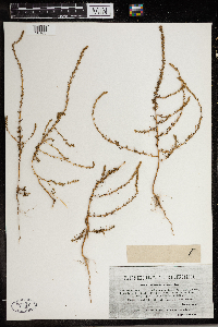
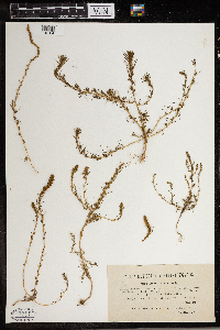
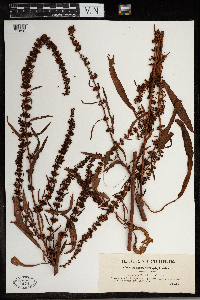
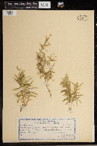
CSBSJU | Rumex stenophyllus Ledebour 1872[11058]Simkovies 1015 Hungary, Eastern Hungary, near the town of Arad, 180 - 200m |
CSBSJU | 1860[11070]Borbas 1014 Hungary, Central Hungary, near the village of Veszt, 100m |
CSBSJU | 10872[10539]Baenitz, C. 46841895-05-28 Hungary |
CSBSJU | 2279[11344]Simonkai 1683 Hungary, Aransas, Hegyes mountains above the village of Aranyag, 300 - 500m |
CSBSJU | 2281[11346]Simonkai 1684 Hungary, Aransas, Skerieza mountain, above the Menyhazenses railroad, 350 - 400m |
CSBSJU | 3124[11351]Simonkai 1689 Hungary, Aransas, Livorsku Mountain near the villages of Aranyay and Solymos, 300 - 350m |
CSBSJU | 2278[11355]Kerner, A. 1682 Hungary, Originally from eastern Hungary, cultivated at Vienna University |
CSBSJU | 2309[11413]Simkovies 518 Hungary, Mount Bihar, 1600m |
CSBSJU | 2295[10670]Steinitz 526 Hungary, Hungaria centralis. Schwabenberg ad Budam, 300m |
CSBSJU | 3354[11480]Woloszezak 256 Hungary, Buda |
CSBSJU | 11776[11654]Kupcok, S. 48601910-07-15 Hungary, Somit Bacs, Piios |
CSBSJU | 1657[11990]Steinitz 882 Hungary, Central Hungary, grassy mountains at Budam, 180 - 500m |
CSBSJU | 12790[12803]De Degen, A. 46061906-05-10 Hungary, Near Budapest |
CSBSJU | 12793[12806]Richter, Aladar 46051906-07-26 Hungary, Vallee du fleuve, Meleg |
CSBSJU | 12696[12823]Prodan, J. 32131908-06-29 Hungary |
CSBSJU | 2825[13365]Pantocsek 51 Hungary, In the cliffs below and around Temetveny castles in the County of Nitre, 300m |
CSBSJU | 2826[13366]Pantocsek 591 Hungary, In the cliffs below and around Temetveny castle in the County of Nitre, 300m |
CSBSJU | 13218[13406]Richter, Aladar 44361904-05-11 Hungary, Tataria, eastern Hungary |
CSBSJU | 3132[13489]Vagner 1697 Hungary, Comit. Marmaros. Alps near Dumin Raho |
CSBSJU | 1698[23932]Simkovics 633 Hungary, 1400 - 1500m |
1
Page 1, records 1-42 of 42
Google Map
Google Maps is a web mapping service provided by Google that features a map that users can pan (by dragging the mouse) and zoom (by using the mouse wheel). Collection points are displayed as colored markers that when clicked on, displays the full information for that collection. When multiple species are queried (separated by semi-colons), different colored markers denote each individual species.
