University of Minnesota
http://www.umn.edu/
612-625-5000
http://www.umn.edu/
612-625-5000
Minnesota Biodiversity Atlas
Dataset: CSBSJU
Search Criteria: Romania; excluding cultivated/captive occurrences
1
Page 1, records 1-18 of 18
Bailey Herbarium at College of Saint Benedict/Saint John’s University | |
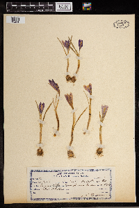
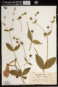
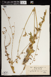
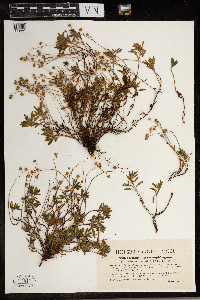
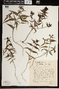
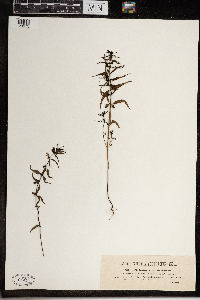
CSBSJU | 7120[05231]Schuller, A. 62701913-04-04 Romania, Flora Transylvanica, Europe |
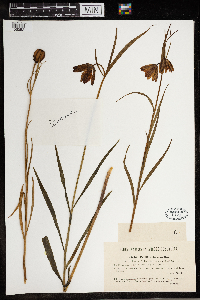
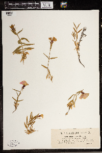
CSBSJU | Orchis cordigera Fr. 2119[05664]Porcius Romania, Translyvania, Detailed locality information protected. This is typically done to protect rare or threatened species localities. |
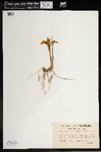
CSBSJU | 3328[05052]Wolff, G. and J. 1046 Romania, Transylvania, Near Tordam and Tarda-Hasadek |
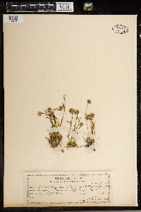
CSBSJU | 1999[05267]Wolff, G. and J. 665 Romania, Transsilvania. |
CSBSJU | 1862[09847]Wolff, G. and J. 1018 Romania, Transylvania, Cultivated land in the ruined town of Torda, 350m |
CSBSJU | 11012[10210]Grintescu, George P. 26171908-07-27 Romania |
CSBSJU | 2292[10262]Simkovies 523 Romania, Western Transylvania, Odincutia Valley at Scarisiora on the slopes of the Bihari alpine, 800m |
CSBSJU | 1662[10309]Simkovies 877 Romania, Transylvania, Kiralko mountain, 1600 - 2000m |
CSBSJU | 2263[09995]Simkovies 566 Romania, Transylvania, Cliffs of Mount Szarhegy near Devam |
CSBSJU | 2306[11421]Barth 515 Romania, Transylvania, Near Langenthal |
CSBSJU | 3050[11464]Simkovies 519 Romania, Transylvania, In the Bihari Mountains, above Vidram on Mont Pietra Strucu, 900 - 1100m |
CSBSJU | 3051[11465]Simkovies 519 Romania, Transylvania, Bihariensibus Mountains above Vidram on Mount Pietra Strucu, 900 - 1100m |
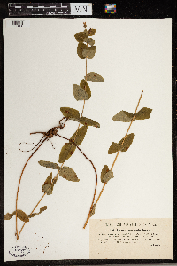
CSBSJU | Silene csereii Baumgarten 2294[10664]Simkovics. 525 Romania, Transsilvania australi-occidentalis. ...ad Maros Nemthi et Maros solymos pr. Deva |
CSBSJU | 11966[11894]Richter, Aladar 47421910-06-18 Romania, Transylvania, Eastern Hungary |
CSBSJU | 1651[11992]Simkovies 880 Romania, Transylvania, Cliffs on the alpine mountains of Bihariensium and Vidram, 1000 - 1200m |
CSBSJU | 2954[23961]Porcius 1398 Romania, Transsilvania, 600 - 700m |
CSBSJU | 1679[23962]Simkovics 625 Romania, Transsilvania occidentalis |
CSBSJU | 1700[23975]Porcius 629 Romania, Transsilvania boreali-orientalis |
1
Page 1, records 1-18 of 18
Google Map
Google Maps is a web mapping service provided by Google that features a map that users can pan (by dragging the mouse) and zoom (by using the mouse wheel). Collection points are displayed as colored markers that when clicked on, displays the full information for that collection. When multiple species are queried (separated by semi-colons), different colored markers denote each individual species.
