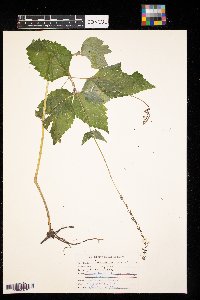
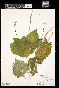
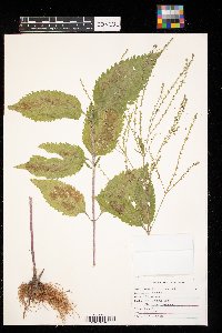
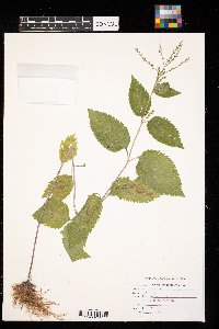
University of Minnesota
http://www.umn.edu/
612-625-5000
http://www.umn.edu/
612-625-5000
Minnesota Biodiversity Atlas
Dataset: CONCOL
Search Criteria: United States OR USA OR U.S.A. OR United States of America; excluding cultivated/captive occurrences
Elsie Welter Natural History Museum of Concordia College | |
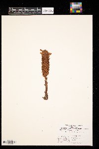
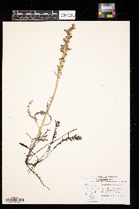
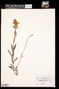
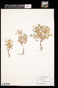
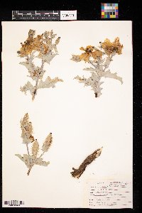
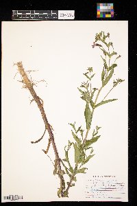
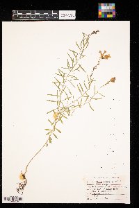
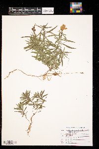
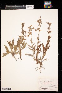
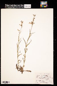
CONCOL | Orobanche ludoviciana Nuttall CONC003695[] 1978-08-17 United States, North Dakota, Ransom, 6 miles north and 2 miles west of McLeod |
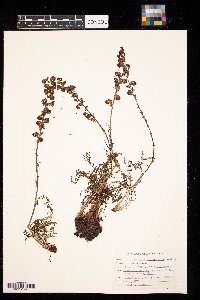
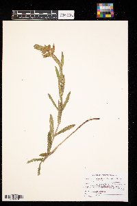
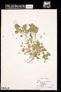
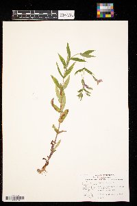
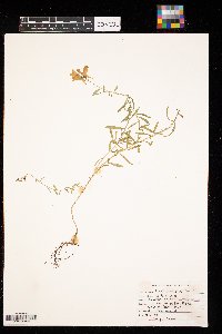
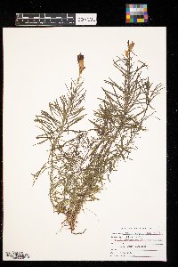
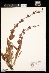
CONCOL | CONC003696[]G. L. Van Amburg 1974-06-21 United States, North Dakota, Beltrami, Sec 9 Turtle River Twp. |
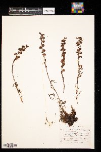
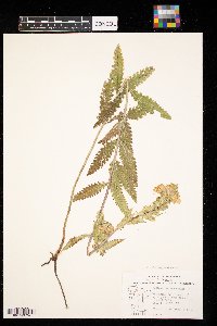
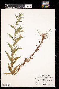
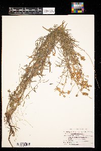
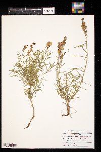
CONCOL | CONC003698[]H. H. Osborn 1961-06-02 United States, North Dakota, Sandhills, ND |
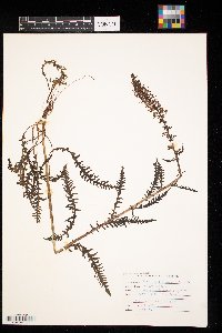
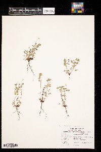
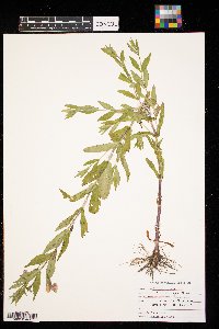
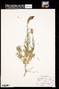
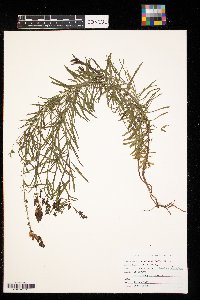
CONCOL | CONC003699[]G. L. Van Amburg 1974-06-21 United States, Minnesota, Beltrami, Sec 9 Turtle River Twp. |
CONCOL | CONC003700[]Richard P. Williams 1974-06-11 United States, Minnesota, Lac Qui Parle, Low prairie near upper Lac Qui Parle bridge. Sec. 33 T12ON R43W |
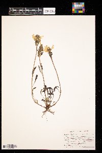
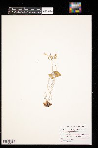
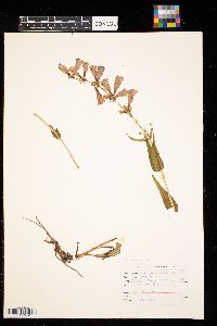
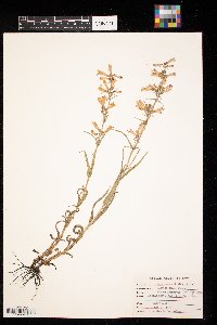
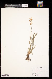
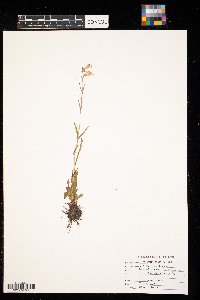
CONCOL | Pedicularis groenlandica Retzius CONC003701[]Eric S. Peterson 1978-08-07 United States, Montana, Ravalli, T6N R22W, Sec. 28 Bitteroot Valley |
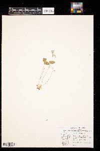
CONCOL | Pedicularis groenlandica Retzius CONC003702[] 1978-08-07 United States, Montana, Ravalli, T6N R22W, Sec. 28 Bitteroot Valley |
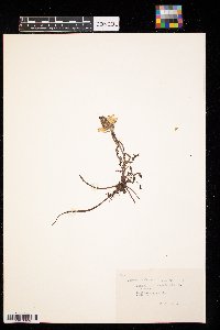
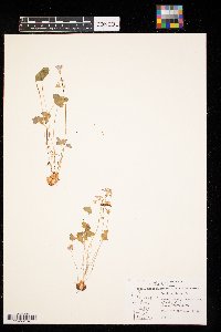
CONCOL | Pedicularis groenlandica Retzius CONC003703[]Les Buhr 1972-07-20 United States, Montana, Southwestern Montana |
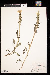
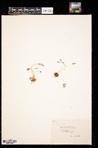
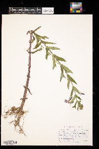
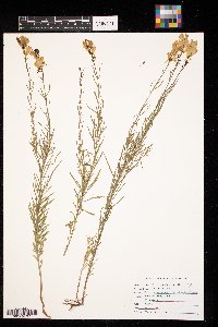
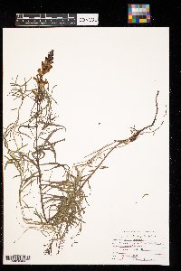
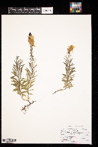
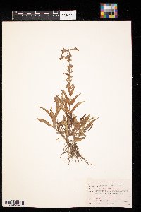
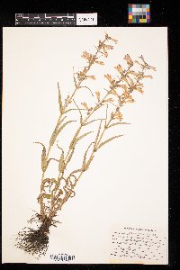
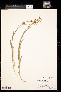
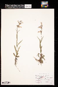
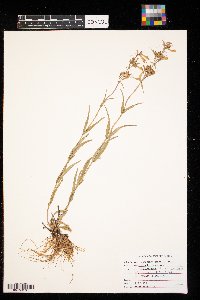
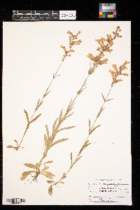
CONCOL | Pedicularis lanceolata Michaux CONC003704[]MS 1979-08-08 United States, Minnesota, Polk, Pankratz Memorial Prairie TNC Preserve S1/2 Sec. 8 T149N R45W |
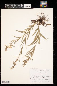
CONCOL | Pedicularis lanceolata Michaux CONC003705[]MS, PF 1979-08-01 United States, Minnesota, Polk, Pembina Trail Preserve TNC Preserve in Sec. 30 and 31 T149N R44W and sec. 36 T149N R45W |
CONCOL | Pedicularis lanceolata Michaux CONC003706[]Richard P. Williams 1974-08-23 United States, Minnesota, Lac Qui Parle, Wet meadow near margin of spring near upper end of Lac Qui Parle. Sec. 33 T12ON R43W. |
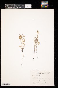
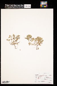
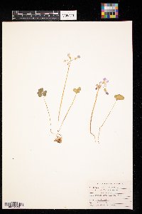
CONCOL | Oxalis dillenii N.J. Jacquin CONC003709[]Richard P. Williams 1974-05-29 United States, Minnesota, Lac Qui Parle, Moderately dry, nearly level, upland prairie. Sec. 4 T119N R43W |
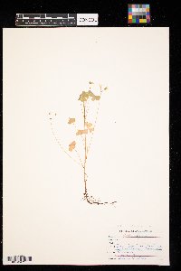
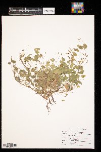
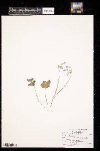
CONCOL | Oxalis dillenii N.J. Jacquin CONC003710[]Dr. John W. Moore 1965-07-13 United States, Minnesota, Anoka, T34N-R23W-Sec.27-NE1/4 of NE1/4 |
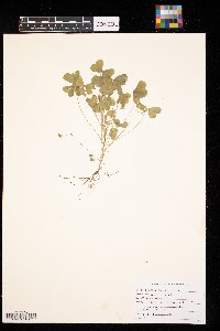
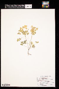
CONCOL | CONC003711[]Adrian A. Niemi 1970-06-26 United States, Minnesota, Saint Louis, Daisy Bay, Lake Vermilion |
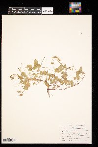
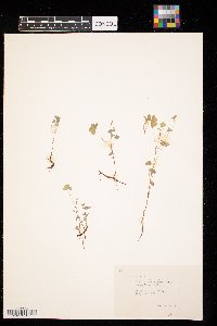
CONCOL | CONC003712[]Randy W. Smith 1985-09-21 United States, Minnesota, Clay, E 1/2 Sec. 29, T 140 N, R 48 W |
CONCOL | CONC003713[]Robert L. Hasse 1985-09-24 United States, Minnesota, Clay, S.W. Qt. Sec. 4T139 N. R46W. |
CONCOL | CONC003714[]Jason Brantner 1991-10-06 United States, North Dakota, Cass, NW 1/4 sec. 28 tnshp. 141N rang. 49W |
CONCOL | CONC003715[]M Hiebert 1989-09-17 United States, Minnesota, Clay, moorhead |
CONCOL | CONC003716[]Gretchen Bederman 1991-00-00 United States, Minnesota, Clay, Sec 17 T139N R46W |
CONCOL | CONC003717[]H. H. Osborn 1961-07-12 United States, North Dakota, Wahpeton |
CONCOL | CONC003718[]Gregory T. Ward 1978-06-20 United States, North Dakota, Ransom, 4 1/2 miles west of 1/2 mile north of McLeod |
CONCOL | CONC003719[]Tammy Zablotney 1990-06-24 United States, North Dakota, Cass, Lindenwood Park, Fargo, Cass County, ND |
CONCOL | CONC003720[]Nathan Svingen 1998-00-00 United States, Minnesota, Clay, Johnson Park-north of Moorhead |
CONCOL | CONC003721[]Tyann Schindler 1991-06-15 United States, Minnesota, Clay, SW 1/4 Sec 22 T 137N R 45W |
CONCOL | CONC003722[]Jill Kosh 1993-07-08 United States, North Dakota, Cass, 13th Avenue |
CONCOL | CONC003723[]Marty Setnes 1989-09-17 United States, Minnesota, Clay, Moorhead |
CONCOL | CONC003724[]Gerald L. Van Amburg 1970-06-19 United States, Minnesota, Clay, Buffalo Park |
CONCOL | CONC003725[]Becky Frederick 2000-06-23 United States, Minnesota, Clay, T141, 45W, Sect 6, clay co |
CONCOL | CONC003726[]Jim Dahl 1990-06-17 United States, Minnesota, Clay, NE 1/4 Sec 23 T 138N R 46W. Clay County, Minnesota |
CONCOL | CONC003727[]Richard P. Williams 1974-06-05 United States, Minnesota, Otter Tail, Steep prairie hillside in ravine on south side of Lake Orwell |
CONCOL | CONC003728[]Richard P. Williams 1974-05-29 United States, Minnesota, Lac Qui Parle, Moderately dry, nearly level upland prairie. Sec. 4 T119N R43W. |
CONCOL | CONC003729[]H.H. Osborn 1961-05-16 United States, North Dakota, Sand hills, N. Dak. |
CONCOL | Argemone polyanthemos (Fedde) G.B. Ownbey CONC003731[]Gerald L. Van Amburg 1970-07-08 United States, Kansas, Mitchell, 14 mi E of Hunter, Kansas |
CONCOL | CONC003732[]H.H. Osborn United States, Minnesota, Clay, Detailed locality information protected. This is typically done to protect rare or threatened species localities. |
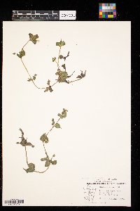
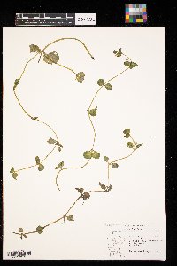
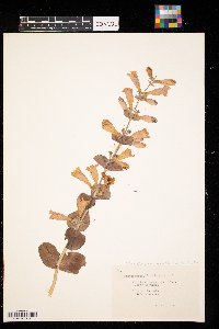
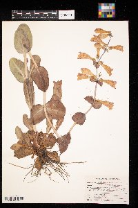
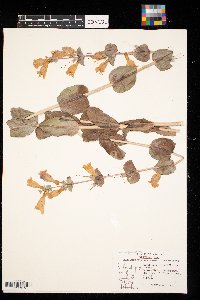
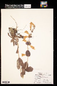
CONCOL | Mimulus glabratus Kunth CONC003733[]Richard P. Williams 1974-07-25 United States, Minnesota, Lac Qui Parle, Spring near upper end of Lac Qui Parle. Sec. 33 T120N R43W. |
CONCOL | Mimulus glabratus Kunth CONC003734[]E.J Barchenger 1974-07-25 United States, Minnesota, Lac Qui Parle, SW 1/4 Sec. 33, Appleton Twp. Spring water |
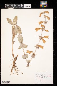
CONCOL | Mimulus guttatus de Candolle CONC003735[]Les Bahr 1972-08-15 United States, Alaska, Kenai Peninsula |
CONCOL | CONC003736[]Adrian A. Niemi 1970-07-22 United States, Minnesota, Saint Louis, Daisy Bay, Lake Vermilion |
CONCOL | CONC003737[]Adrian A. Niemi 1970-07-22 United States, Minnesota, Saint Louis, Daisy Bay, Lake Vermilion |
CONCOL | CONC003738[]Richard P. Williams 1974-07-17 United States, Minnesota, Lac Qui Parle, Woodland border; south end of Lac Qui Parle. Sec. 23 T118N R42W |
CONCOL | CONC003739[]E.J Barchenger 1974-07-17 United States, Minnesota, Lac Qui Parle, N1/2 Sec. 23, Lac Qui Parle Twp Woods edge |
CONCOL | CONC003740[]Gerald L. Van Amburg 1995-07-21 United States, Minnesota, Clay, S. edge of Sec. 13, T141N R46W. Flowering Twp. |
CONCOL | CONC003741[]Richard P. Williams 1974-07-17 United States, Minnesota, Lac Qui Parle, Wooded area between highway and Lac Qui Parle. Sec. 9 T118N R42W |
CONCOL | CONC003742[]E.J Barchenger 1974-07-17 United States, Minnesota, Lac Qui Parle, NE 1/4 Sec. 9, Lac Qui Parle Twp |
CONCOL | CONC003743[]E.J Barchenger 1974-07-17 United States, Minnesota, Lac Qui Parle, NE 1/4 Sec. 9, Lac Qui Parle Twp |
CONCOL | CONC003744[]Adrian A. Niemi 1970-08-04 United States, Minnesota, Chisago, Coveen Lake |
CONCOL | CONC003745[]Adrian A. Niemi 1970-08-04 United States, Minnesota, Chisago, Coveen Lake |
CONCOL | CONC003746[]Don Salting 1987-07-08 United States, Minnesota, Clay, Johnson Park, Clay, MN |
CONCOL | CONC003747[]Mike Gindorff 1990-00-00 United States, Minnesota, Clay, M.B Johnson Park |
CONCOL | CONC003748[]Scott Lucier 1990-00-00 United States, Minnesota, Clay, M.B Johnson Park |
CONCOL | Linaria vulgaris Miller CONC003749[]Sherry L. Paulson 1975-09-27 United States, Minnesota, Otter Tail, 1 mile east of Parker Prairie |
CONCOL | Linaria vulgaris Miller CONC003750[]Sherry L. Paulson 1975-09-27 United States, Minnesota, Otter Tail, 1 mile east of Parker's Prairie |
CONCOL | Linaria vulgaris Miller CONC003751[]Karen Gillund 1978-10-23 United States, Minnesota, Goodhue, 2 miles south of Cannon Falls, Goodhue County, Minnesota |
CONCOL | Linaria vulgaris Miller CONC003752[]Cathy Abell 1987-06-06 United States, Minnesota, Clay, Pelican Lake, Clay, MN |
CONCOL | Linaria vulgaris Miller CONC003754[]William Turlotte 1988-10-09 United States, Minnesota, Crow Wing, Crow Wing County Minnesota |
CONCOL | Linaria vulgaris Miller CONC003755[]Chris Debeest 1989-07-03 United States, Minnesota, Clay, Clay County |
CONCOL | Linaria vulgaris Miller CONC003756[]Lisa Lagodinski 1988-09-18 United States, North Dakota, LaMoure, SE 1/4 Sec 22 T133N R65W |
CONCOL | Linaria vulgaris Miller CONC003757[]Joan Porraz 1991-06-29 United States, Minnesota, Polk, Crookston |
CONCOL | Linaria vulgaris Miller CONC003758[]Tyann Schindler 1991-07-06 United States, Minnesota, near Belmont Lake |
CONCOL | Linaria vulgaris Miller CONC003759[]Rachael Peterson-Ehremann 1992-00-00 United States, Minnesota, Hennipen, Hennipen County, MN |
CONCOL | Linaria vulgaris Miller CONC003760[]Lorne Holland 1995-07-03 United States, Minnesota, Cass, Fargo, Cass County, MN |
CONCOL | Penstemon albidus Nutt. CONC003761[]Gerald L. Van Amburg 1970-06-25 United States, North Dakota, Bowman, 10 mi S, 5 mi E of Bowman, ND |
CONCOL | Penstemon albidus Nutt. CONC003762[]Gerald L. Van Amburg 1970-06-25 United States, North Dakota, Bowman, 10 mi S, 5 E of Bowman, ND |
CONCOL | Penstemon albidus Nutt. CONC003763[]Gregory T. Ward 1978-06-08 United States, North Dakota, Ransom, One mile west of Mcleod, N.D |
CONCOL | Penstemon cyananthus Hooker CONC003764[]Les Buhr 1972-07-22 United States, Montana, Western Montana |
CONCOL | Penstemon gracilis Nuttall CONC003765[]Gerald L. Van Amburg 1970-06-19 United States, Minnesota, Clay, Buffalo State Park, Minnesota |
CONCOL | Penstemon gracilis Nuttall CONC003766[]Gerald L. Van Amburg 1979-06-19 United States, Minnesota, Clay, Buffalo State Park, Minnesota |
CONCOL | Penstemon gracilis Nuttall CONC003767[]Gerald L. Van Amburg 1970-06-19 United States, Minnesota, Clay, Buffalo State Park, Minnesota |
CONCOL | Penstemon gracilis Nuttall CONC003768[]Gregory T. Ward 1978-06-08 United States, Minnesota, Ransom, One mile west of Mcleod, N.D |
CONCOL | Penstemon gracilis Nuttall CONC003769[]Susan Ottoson 1979-06-22 United States, Minnesota, Clay, Bicentennial Prairie |
CONCOL | Penstemon gracilis Nuttall CONC003770[]Cathy Abell 1987-06-24 United States, Minnesota, Clay, Bluestem Prairie |
CONCOL | Penstemon gracilis Nuttall CONC003771[]Jim Dahl 1990-06-22 United States, Minnesota, Clay, NE 1/4 Sec 23 T 138N R 46W. Clay County, Minnesota |
CONCOL | Penstemon gracilis Nuttall CONC003772[]Tammy Zablotney 1990-07-01 United States, North Dakota, Ward, SW 1/4 Sec 19 T 153N R 86W Ward County, North Dakota |
CONCOL | Penstemon gracilis Nuttall CONC003773[]Ann S. Carlson 1993-07-03 United States, Minnesota, Stutsman, Stutsman County, ND |
CONCOL | Penstemon gracilis Nuttall CONC003774[]Becky Frederick 2000-06-23 United States, Minnesota, Clay, T141, 45W, Sect 6, clay co |
CONCOL | Penstemon grandiflorus Nuttall CONC003775[]H.H Osborn 1961-06-19 United States, North Dakota, Ransom, McLeod, N. Dakota |
CONCOL | Penstemon grandiflorus Nuttall CONC003776[]Gerald L. Van Amburg 1970-06-19 United States, Minnesota, Clay, Buffalo State Park, Minnesota |
CONCOL | Penstemon grandiflorus Nuttall CONC003777[]E.J Barchenger 1974-06-17 United States, North Dakota, Traverse, Large-flower penstemon SE 1/4 Sec. 9, Folsom Twp. Ravine |
CONCOL | Penstemon grandiflorus Nuttall CONC003778[]Gregory T. Ward 1978-06-15 United States, North Dakota, Ransom, 1 mile west and 1 mile south of mcleod |
CONCOL | Penstemon grandiflorus Nuttall CONC003779[]Irene Wies 1989-07-04 United States, Minnesota, Hubbard, Hubbard County, MN |
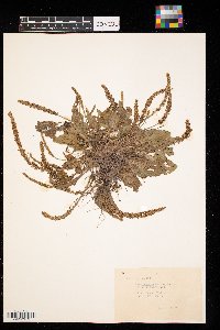
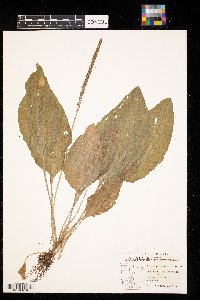
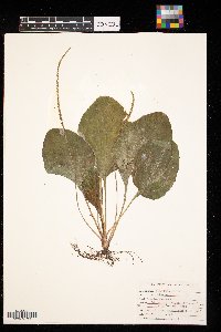
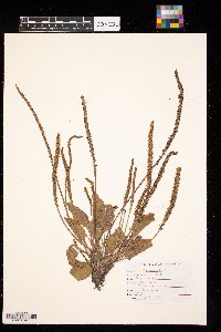
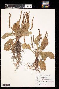
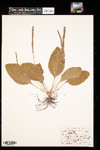
CONCOL | Plantago eriopoda Torrey CONC003780[]H.H. Osborn 1961-07-21 United States, Minnesota, Clay, River Oaks Moorhead |
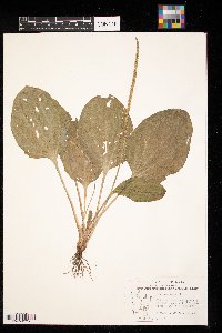
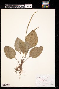
CONCOL | Plantago eriopoda Torrey CONC003781[]CBK 1979-05-23 United States, Minnesota, Polk, Pankratz Memorial Prairie TNC Preserve S1/2 Sec. 8 T149N R45W |
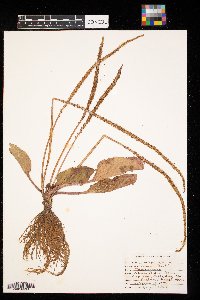
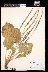
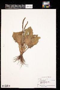
CONCOL | CONC003782[]E.J. Barchenger 1974-07-16 United States, Minnesota, Lac Qui Parle, SW1/4 Sec 33 Appleton Twp |
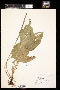
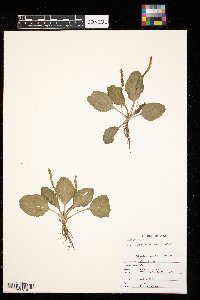
CONCOL | CONC003783[]Richard P. Williams 1974-07-16 United States, Minnesota, Lac Qui Parle, Old road grad through willow thicket; upper end of Lac Qui Parle. Sec 4 T119N R43W |
CONCOL | CONC003784[]Gregory T. Ward 1975-09-18 United States, Minnesota, Hubbard, NW1/4 of SE1/4 of Sec 27 Arago Twp |
CONCOL | CONC003785[]Gregory T. Ward 1978-06-29 United States, North Dakota, Ransom, 6 mi W of McLeod |
CONCOL | CONC003786[]Roxanne M. Connell 1978-08-20 United States, Minnesota, Todd, Round Priaire T. SE sec of Glenn Connell Farm |
CONCOL | CONC003787[]Philip Bungum 1981-08-25 United States, Minnesota, Chisago, 1 mile northeast of Lindstrom |
CONCOL | CONC003788[]Cindy Thompson 1985-09-02 United States, Minnesota, Hennepin, Lake Minnetonka, Excelsior St Albans Green N |
CONCOL | CONC003789[]Tricia Paulsen 1985-09-06 United States, Minnesota, Clay, 1709 8th St S |
CONCOL | CONC003790[]Faiaoga Tosi Jr. 1986-09-27 United States, Minnesota, Clay, 10 mi E Hwy 10 |
CONCOL | CONC003791[]William Anderson 1991-10-19 United States, Minnesota, Polk, SE1/4 Sec 32 McKinley Twp |
CONCOL | CONC003792[]Roberta Dykema 1992-06-19 United States, Minnesota, Clay |
CONCOL | CONC003793[]Esther C. Farrar 1975-09-30 United States, Minnesota, Clay, E of RR tracks at 12 ave and 20 st S |
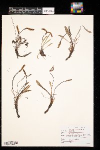
CONCOL | Plantago patagonica N.J. Jacquin CONC003794[]E.J. Barchenger 1970-06-25 United States, North Dakota, Bowman, 10 mi S 5 mi E of Bowman |
CONCOL | Plantago patagonica N.J. Jacquin CONC003795[]G. L. Van Amburg 1973-07-16 United States, Minnesota, Pipestone, Between sec 12 & 13 Eden Twp |
CONCOL | Plantago patagonica N.J. Jacquin CONC003796[]E.J. Barchenger 1974-06-25 United States, Minnesota, Lac Qui Parle, SW1/4 Sec 33 Appleton Twp |
CONCOL | Plantago patagonica N.J. Jacquin CONC003797[]E.J. Barchenger 1974-06-25 United States, Minnesota, Lac Qui Parle, SW1/4 Sec 33 Appleton Twp |
CONCOL | Plantago patagonica N.J. Jacquin CONC003798[]Richard P. Williams 1974-07-02 United States, Minnesota, Lac Qui Parle, Roadside rest area; west side of Lac Qui Parle. Sec 4 T118N R42w |
CONCOL | Plantago patagonica N.J. Jacquin CONC003799[]N.H. Olson 1974-09-19 United States, North Dakota, N unit of T Roosevelt Natl Park |
Google Map
Google Maps is a web mapping service provided by Google that features a map that users can pan (by dragging the mouse) and zoom (by using the mouse wheel). Collection points are displayed as colored markers that when clicked on, displays the full information for that collection. When multiple species are queried (separated by semi-colons), different colored markers denote each individual species.
