University of Minnesota
http://www.umn.edu/
612-625-5000
http://www.umn.edu/
612-625-5000
Minnesota Biodiversity Atlas
Dataset: MIN-Lichens
Search Criteria: United States OR USA OR U.S.A. OR United States of America; Wisconsin; Adams; excluding cultivated/captive occurrences
1
Page 1, records 1-7 of 7
Bell Museum lichens | |
 MIN:Lichens | Cetraria fendleri (Nyl.) Tuck. 652357[]Culberson, W. 39470000-08-03 United States, Wisconsin, Adams, Roche A Cri Creek |
MIN:Lichens | Caloplaca flavorubescens (Huds.) J.R. Laundon 659173[]Thomson, J. 19611946-03-07 United States, Wisconsin, Adams, White Creek, 1 Mi E of, 43.833943 -89.834493 |
MIN:Lichens | Ramalina intermedia (Delise ex Nyl.) Nyl. 918721[]Wetmore, C. 946572006-04-15 United States, Wisconsin, Adams, Witches Gulch, N of Wisconsin Dells, 43.67583333 -89.79638889 |
MIN:Lichens | Cladonia apodocarpa Robbins 940890[]Wetmore, C. 946562006-04-15 United States, Wisconsin, Adams, Witches Gulch, 3.5 Mi N of Wisconsin Dells, 43.67583333 -89.79638889 |
MIN:Lichens | 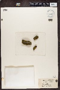 Candelaria concolor (Dicks.) Stein 437729[1386091]Thomson, J.W. United States, Wisconsin, Adams |
MIN:Lichens | 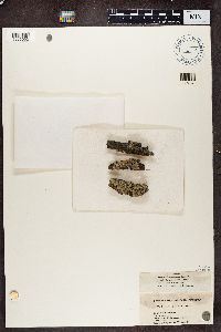 Physcia stellaris (L.) Nyl. 437555[1386092]Thomson, J.W. United States, Wisconsin, Adams |
MIN:Lichens | 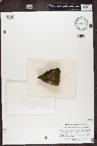 Acarospora schleicheri (Ach.) A. Massal. 890303[1386181]Thomson, J.W. United States, Wisconsin, Adams |
1
Page 1, records 1-7 of 7
Google Map
Google Maps is a web mapping service provided by Google that features a map that users can pan (by dragging the mouse) and zoom (by using the mouse wheel). Collection points are displayed as colored markers that when clicked on, displays the full information for that collection. When multiple species are queried (separated by semi-colons), different colored markers denote each individual species.