University of Minnesota
http://www.umn.edu/
612-625-5000
http://www.umn.edu/
612-625-5000
Minnesota Biodiversity Atlas
Bell Museum
Dataset: MIN-Plants
Taxa: Brassicaceae
Search Criteria: excluding cultivated/captive occurrences
Bell Museum plants | |
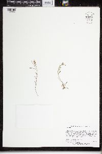
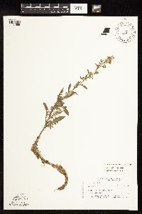
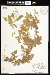
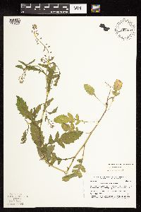
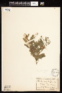
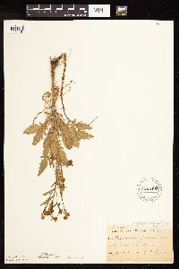
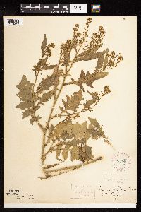
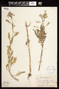
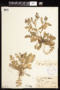
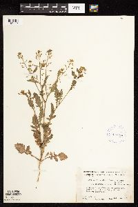
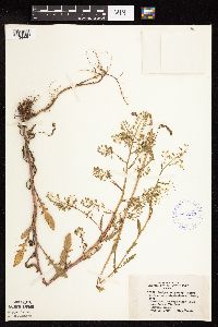
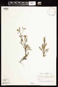
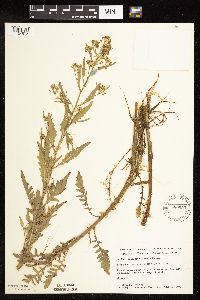
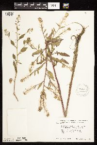
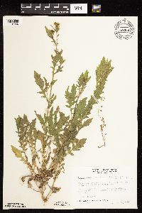
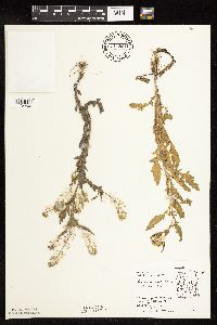
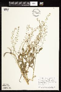
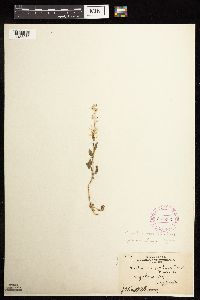
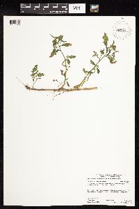
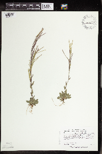
MIN:Plants | 920222[]Smith, Welby 249871994-07-27 United States, Minnesota, Crow Wing, Crow Wing State Park, about 4 miles southwest of Barrows...T 44N R 32W NW1/4 of SE1/4 of Sec 23;Crow Wing State Park;044N;32W;23, 46.2772222 -94.3391667 |
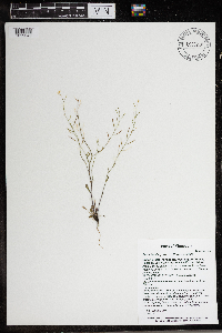
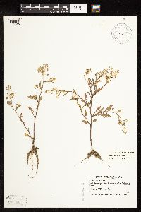
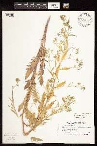
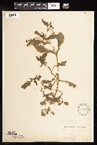
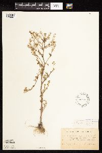
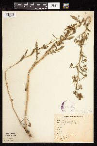
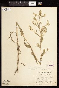
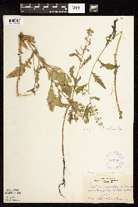
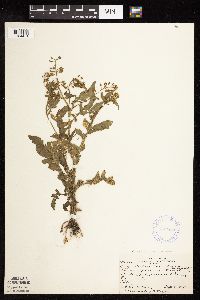
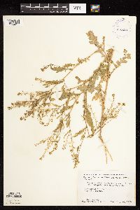
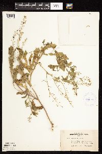
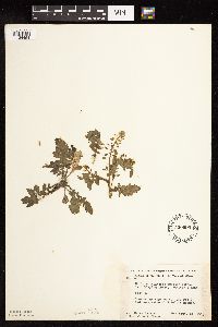
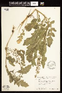
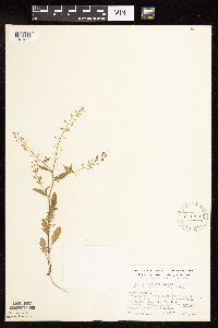
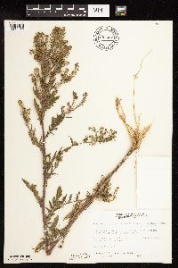
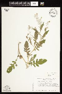
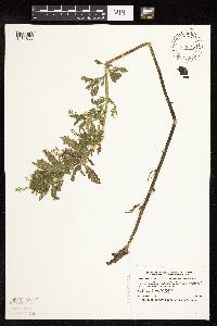
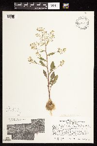
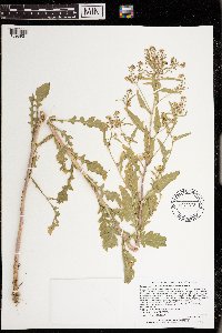
MIN:Plants | 960751[1329356]Lee, Michael MDL31632002-06-19 United States, Minnesota, Cook, Along the Lake Superior shore at Red Rock Point / Deronda Bay, five miles southwest of Grand Portage, ten miles east-northeast of Hovland. S1/2 of SW1/4 of SW1/4 Sec. 25, Grand Portage Reservation, 47.914337 -89.751755 |
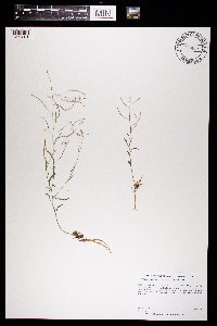
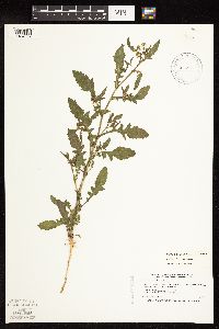
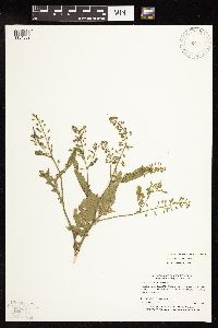
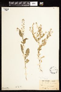
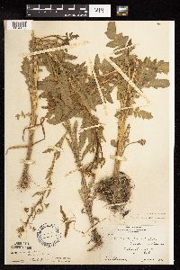
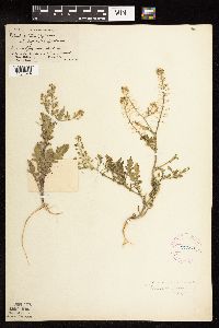
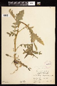
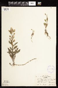
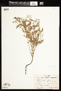
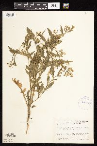
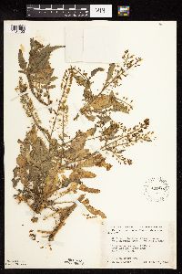
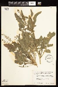
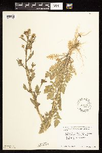
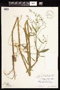
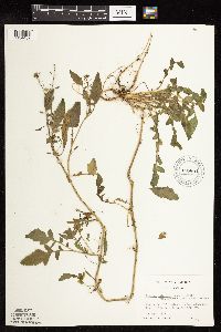
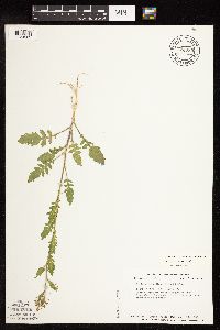
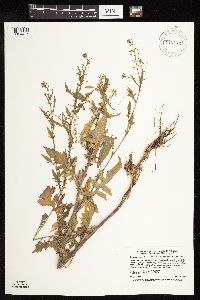
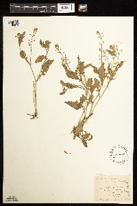
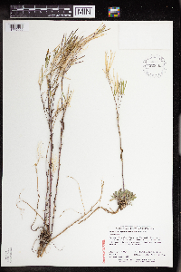
MIN:Plants | 966210[1359049]T. J. S. Whitfeld 25902020-06-12 United States, Minnesota, Washington, Lost Valley Prairie Scientific and Natural Area, 2 miles east north east of intersection of State Highway 95 and 110th Street, at dead-end of Nyberg Avenue South., 44.804963 -92.825013, 283m |
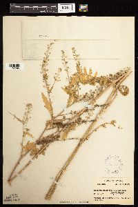
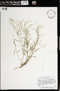
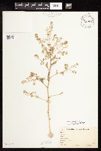
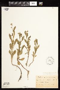
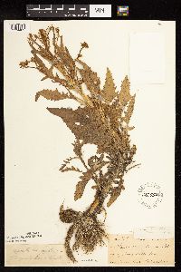
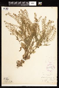
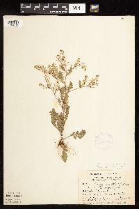
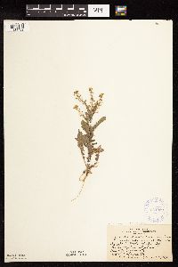
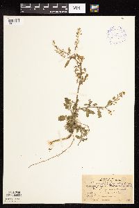
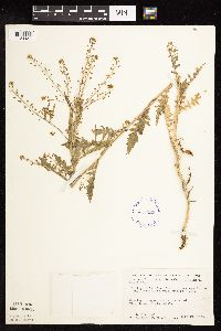
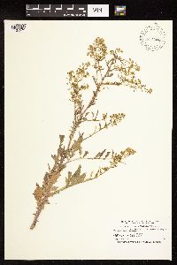
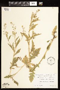
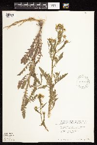
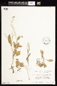
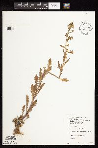
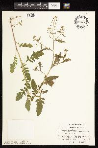
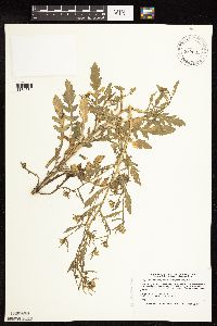
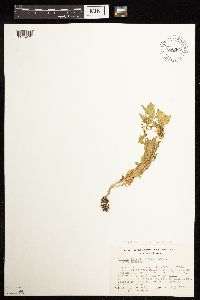
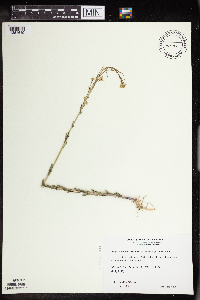
MIN:Plants | 969613[1371204]Dunevitz, Hannah L. 7581992-06-10 United States, Minnesota, Wabasha, North-facing bluff on the south edge of Wabasha, just west of Highway 61., 44.43 -92.26 |
MIN:Plants | Braya humilis subsp. humilis (C.A. Meyer) B.L. Robinson 120777[]Wheeler, William 7341900-08-00 United States, Michigan, Keweenaw, Tobin's Harbor, Isle Royale;Isle Royale National Park;;;, 48.00056 -88.83333 |
MIN:Plants | Rorippa palustris subsp. hispida (Desvaux) Jonsell 302077[1183268]Deam, C. 504011931-07-13 United States, Indiana, Noble, Noble County ... 1 mi. south of Alcinda. |
MIN:Plants | Rorippa palustris subsp. hispida (Desvaux) Jonsell 453014[]Bright, R. 72-241972-00-00 United States, Idaho, Bannock, [no further data] |
MIN:Plants | Rorippa palustris subsp. hispida (Desvaux) Jonsell 440766[1134565]Myhre, K. 26641992-07-09 United States, Minnesota, Cass, Cass County...Located on the southeast shore of Moccasin Lake...T 141N R 29W NW1/4 of NW1/4 of sec 33;Chippewa National Forest;141N;29W;33, 46.986407 -94.355731 |
MIN:Plants | Rorippa palustris subsp. hispida (Desvaux) Jonsell 485121[1134563]Smith, Welby 192981991-07-09 United States, Minnesota, Koochiching, Pine Island State Forest. Koochiching County...About 5 miles SW of Big Falls. Along Hickes Ridge Road, about 0.5 mile N of US Hwy 71... abandoned gravel pit...T154N R25W NE1/4 of SW1/4 of Sec 30. 154N 25W 30, 48.127224 -93.8974991 |
MIN:Plants | Rorippa palustris subsp. hispida (Desvaux) Jonsell 504867[1134567]Smith, Welby 187741991-06-11 United States, Minnesota, Aitkin, Aitkin County...On the north shore of Mille Lacs Lake, about 12 mi south of Aitken...T45N R27W NE1/4 of SW1/4 of Sec 26;Wealthwood State Forest;045N;27W;26, 46.3508333 -93.7152778 |
MIN:Plants | 977048[1402629]Lee, Michael MDL65662014-07-10 United States, Minnesota, Fillmore, Along the middle reaches of Diamond Creek, in rugged terrain five miles east of Lanesboro., 43.72200877988 -91.86919240755, 290m |
MIN:Plants | Rorippa palustris subsp. hispida (Desvaux) Jonsell 907669[1134427]Lee, Michael; et al. MDL38312004-08-24 United States, Minnesota, Todd, Along the Long Prairie River, five miles north-northeast of Browerville. W1/2 of NE1/4 of NE1/4 Sec.;;131N;33W;22, 46.143141 -94.823322 |
MIN:Plants | Rorippa palustris subsp. hispida (Desvaux) Jonsell 508412[1134559]Smith, Welby 170891990-06-27 United States, Minnesota, Martin, Martin County...At the public access on the E shore of Pierce Lake, about 3 mi SW of Fairmont... T102N R31W NW1/4 of NW1/4 of Sec 34.. 102N 31W 34, 43.6011124 -94.5516663 |
MIN:Plants | Rorippa palustris subsp. hispida (Desvaux) Jonsell 514554[1134569]Myhre, K. 27351992-07-15 United States, Minnesota, Cass, Cass County...Located on the east shore of Mabel Lake, northwest of the campground...T141N R27W SE1/4 of SE1/4 of Sec 3;Chippewa National Forest;141N;27W;3, 47.058662 -94.083833 |
MIN:Plants | Rorippa palustris subsp. hispida (Desvaux) Jonsell 763389[1134453]Lugger, O. s.n. United States, Minnesota, Blue Earth, Mankato;;108N;26W;, 44.152568 -93.948763 |
MIN:Plants | Rorippa palustris subsp. hispida (Desvaux) Jonsell 837319[1134560]Smith, Welby 173961990-07-18 United States, Minnesota, Morrison, On the W side of Shiloh Road...UTM: 389500E 5105500N. SW1/4 of SW1/4 of section;Camp Ripley Military Reservation;130N;30W;02, 46.0941361 -94.4294844 |
MIN:Plants | Rorippa palustris subsp. hispida (Desvaux) Jonsell 120401[1134441]Moyer, Lycurgus 17181897-08-17 United States, Minnesota, Pope, [no further data];;;;, 45.59 -95.45 |
MIN:Plants | Rorippa palustris subsp. hispida (Desvaux) Jonsell 120402[1134465]Moyer, Lycurgus 17181893-08-13 United States, Minnesota, Chippewa, Montevideo;;117N;40W;, 44.934626 -95.675774 |
MIN:Plants | Rorippa palustris subsp. hispida (Desvaux) Jonsell 120403[1134440]Ballard, C. B1121912-06-00 United States, Minnesota, Carver, Chaska;;N;;, 44.789407 -93.602179 |
MIN:Plants | Rorippa palustris subsp. hispida (Desvaux) Jonsell 120404[1134445]Ballard, C. 26391900-08-00 United States, Minnesota, Kittson, St. Vincent;;163N;51W;, 48.945898 -97.210703 |
MIN:Plants | Rorippa palustris subsp. hispida (Desvaux) Jonsell 120406[1134448]Sheldon, Edmund S15121891-08-00 United States, Minnesota, Lincoln, Lake Benton;;109N;45W;, 44.24108 -96.26172 |
MIN:Plants | Rorippa palustris subsp. hispida (Desvaux) Jonsell 120539[1134433]Skinner, S. 521902-06-10 United States, Minnesota, Jackson, E of Heron Lake;;N;;, 43.772651 -95.224832 |
MIN:Plants | Rorippa palustris subsp. hispida (Desvaux) Jonsell 120554[1134463]Taylor, B. T164a1891-06-00 United States, Minnesota, Waseca, Janesville;;N;;, 44.116078 -93.708004 |
MIN:Plants | Rorippa palustris subsp. hispida (Desvaux) Jonsell 120569[1134461]Taylor, B. T2301891-06-00 United States, Minnesota, Waseca, Janesville;;N;;, 44.116078 -93.708004 |
MIN:Plants | Rorippa palustris subsp. hispida (Desvaux) Jonsell 225520[1134438]Stevenson, J. 1331912-07-10 United States, Minnesota, Beltrami, Bemidji;;;;, 47.47361 -94.88 |
MIN:Plants | Rorippa palustris subsp. hispida (Desvaux) Jonsell 277576[1134574]Hotchkiss, N.; et al. 4151930-08-21 United States, Minnesota, Roseau, Lake of the Woods, +/- 1/2 mi N of Warroad. Roseau Co.;;;;, 48.912501 -95.314404 |
MIN:Plants | Rorippa palustris subsp. hispida (Desvaux) Jonsell 277781[1134434]Roberts, Thomas s.n.1889-08-15 United States, Minnesota, Hennepin, Minneapolis;;N;;, 44.979965 -93.263836 |
MIN:Plants | Rorippa palustris subsp. hispida (Desvaux) Jonsell 277782[1134442]Roberts, Thomas s.n.1889-08-15 United States, Minnesota, Hennepin, Minneapolis;;N;;, 44.979965 -93.263836 |
MIN:Plants | Rorippa palustris subsp. hispida (Desvaux) Jonsell 281330[1134581]Moyle, J. 5761931-07-13 United States, Minnesota, Clearwater, Itasca Park, along road N boundary; NE1/4 NE1/4 Sec. 4 T143N R36W;Itasca State Park;143N;36W;4, 47.231605 -95.24462 |
MIN:Plants | Rorippa palustris subsp. hispida (Desvaux) Jonsell 281333[1134456]Moyle, J. 11261931-06-25 United States, Minnesota, Clearwater, Itasca Park. NW1/4 SE1/4 Sec. 12, T143N, R36W.;Itasca State Park;143N;36W;12, 47.217742 -95.180169 |
MIN:Plants | Rorippa palustris subsp. hispida (Desvaux) Jonsell 345415[1134575]Grant, Martin 68111936-08-21 United States, Minnesota, Becker, Itasca Park. Becker Co. De Soto Lake; NW1/4 NE1/4 Sec. 3 T142N R36W;Itasca State Park;142N;36W;3, 47.145259 -95.222785 |
MIN:Plants | Rorippa palustris subsp. hispida (Desvaux) Jonsell 349660[1134443]Hedman, H. 281938-06-00 United States, Minnesota, Hennepin, W shore Giron Bay, L. Minnetonka;;N;;, 44.9243 -93.60489 |
MIN:Plants | Rorippa palustris subsp. hispida (Desvaux) Jonsell 349724[1134429]Hedman, H. 751938-07-00 United States, Minnesota, Hennepin, N shore Brown's Bay, L. Minnetonka;;N;;, 44.95852 -93.54837 |
MIN:Plants | Rorippa palustris subsp. hispida (Desvaux) Jonsell 361753[1134430]Jacobs, D. 3101940-07-17 United States, Minnesota, Wright, Pleasant Lake shore, Wright Co.;;121N;27W;, 45.282397 -94.07601 |
MIN:Plants | Rorippa palustris subsp. hispida (Desvaux) Jonsell 361932[1134462]Rosendahl, C.; Butters, F. s.n.1937-08-26 United States, Minnesota, Saint Louis, McKinley Park, Soudan.;;N;;, 47.815752 -92.237658 |
MIN:Plants | Rorippa palustris subsp. hispida (Desvaux) Jonsell 362507[1134458]Butters, F.; et al. 65421934-09-06 United States, Minnesota, Crow Wing, Lake Mille Lacs, S of Garrison.;;;;, 46.294404 -93.826922 |
MIN:Plants | Rorippa palustris subsp. hispida (Desvaux) Jonsell 362558[1134451]Rosendahl, C.; Butters, F. 70431938-09-04 United States, Minnesota, Marshall, Shore, at W end of Thief Lake;;N;;, 48.49043 -95.891094 |
MIN:Plants | Rorippa palustris subsp. hispida (Desvaux) Jonsell 385613[1134444]Moyle, J. 41201945-08-10 United States, Minnesota, Waseca, Along shore Lake Elysian;;109N;24W;, 44.1333 -93.7 |
MIN:Plants | Rorippa palustris subsp. hispida (Desvaux) Jonsell 394089[1134439]Nielsen, E. 16741932-09-12 United States, Minnesota, Cook, Shore at E end of Sea Gull Lake. Cook Co.;Boundary Waters Canoe Area Wilderness / Superior National Forest;065N;05W;, 48.106479 -90.965972 |
MIN:Plants | Rorippa palustris subsp. hispida (Desvaux) Jonsell 412184[1134436]Moore, John; Moore, Marjorie 120911939-08-23 United States, Minnesota, Koochiching, Koochiching Co.; Along the south bank of the Rainy River W of Birchdale;;160N;27W;, 48.636117 -94.105012 |
MIN:Plants | Rorippa palustris subsp. hispida (Desvaux) Jonsell 412238[1134435]Moore, John; Moore, Marjorie 113161939-07-29 United States, Minnesota, Lake of the Woods, At the E end of Magnuson Island;Northwest Angle;168N;34W;, 49.344621 -95.028893 |
MIN:Plants | Rorippa palustris subsp. hispida (Desvaux) Jonsell 412918[1134437]Moore, John; Moore, Marjorie 114191939-08-03 United States, Minnesota, Roseau, W side of road,1/2 mi S of Longworth School;;N;;, 48.975255 -95.364961 |
MIN:Plants | Rorippa palustris subsp. hispida (Desvaux) Jonsell 413227[1134452]Moore, John; Moore, Marjorie 109411939-07-19 United States, Minnesota, Lake of the Woods, Mouth of Pine Creek, Angle Inlet;Northwest Angle;168N;34W;, 49.344621 -95.028893 |
MIN:Plants | Rorippa palustris subsp. hispida (Desvaux) Jonsell 419577[1134446]Lakela, Olga 109541950-07-29 United States, Minnesota, Saint Louis, On Swan River Road near Duluth Air Port, Duluth;;N;;, 46.82824 -92.17491 |
MIN:Plants | Rorippa palustris subsp. hispida (Desvaux) Jonsell 422713[1134449]Lakela, Olga 79091948-09-18 United States, Minnesota, Saint Louis, Shore of St. Louis River near Floodwood;;N;;, 46.92911 -92.919648 |
MIN:Plants | Rorippa palustris subsp. hispida (Desvaux) Jonsell 444810[1134455]Moore, John; Goodwin, D. 193721946-10-19 United States, Minnesota, Crow Wing, East arm of Rabbit Lake, N of Cuyuna.;;N;;, 46.530365 -93.924032 |
MIN:Plants | Rorippa palustris subsp. hispida (Desvaux) Jonsell 447069[1134571]Smith, Welby 206471992-06-30 United States, Minnesota, Rice, Rice Co.; About 3/4 mile southwest of Little Chicago; bottom of an abandoned gravel pit; Rice Co.; About 3/4 mile southwest of Little Chicago; bottom of an abandoned gravel pit; T 112N R 21W NW1/4 of NE1/4 of Sec 34. 112N 21W 34, 44.4702759 -93.3286133 |
MIN:Plants | Rorippa palustris subsp. hispida (Desvaux) Jonsell 471974[1134570]Puchalski, L. 1871993-06-02 United States, Minnesota, Polk, Bee Lake Wildlife Management Area. Polk Co.; Bee Lake WMA. App. 1/4 mi. NE of parking area on west side of WMA; T 149N [should be T148] R 42W NW1/4 of SW1/4 of Sec 27. 148N 42W 27, 47.607759 -95.993214 |
MIN:Plants | Rorippa palustris subsp. hispida (Desvaux) Jonsell 500699[1134464]Harris, S. 4001953-09-21 United States, Minnesota, Marshall, At the edge of (M. CCC Pool) Mud Lake National Wildife Refuge.;Agassiz National Wildlife Refuge;N;;, 48.339325 -95.949772 |
MIN:Plants | Rorippa palustris subsp. hispida (Desvaux) Jonsell 507367[1134580]Moore, John 209401950-09-28 United States, Minnesota, Murray, Along the shore of South Badger Lake;;N;;, 43.916539 -95.729901 |
MIN:Plants | Rorippa palustris subsp. hispida (Desvaux) Jonsell 532857[1134578]Lakela, Olga 203491956-07-10 United States, Minnesota, Saint Louis, Floodwood Lake, the resort area;;N;;, 47.16239 -93.05634 |
MIN:Plants | Rorippa palustris subsp. hispida (Desvaux) Jonsell 560953[1134572]Ownbey, Gerald; Anderson, Henry 27061959-06-24 United States, Minnesota, Clearwater, Forest access road, 4.5 mi W, .7 mi S of Zerkel; SE1/4 Sec. 10 T144N R38W;;144N;38W;10, 47.303635 -95.477495 |
MIN:Plants | Rorippa palustris subsp. hispida (Desvaux) Jonsell 566322[1134573]Moore, John; Heig, V. 241621958-09-11 United States, Minnesota, Kittson, Border of Twin Lake;Twin Lakes Wildlife Management Area;N;;, 48.628405 -96.431874 |
MIN:Plants | Rorippa palustris subsp. hispida (Desvaux) Jonsell 566524[1134457]Moore, John 239161958-06-14 United States, Minnesota, Kittson, Along the river at Hallock.;;N;;, 48.774426 -96.946447 |
MIN:Plants | Rorippa palustris subsp. hispida (Desvaux) Jonsell 574731[1134431]Moore, John 245751959-06-04 United States, Minnesota, Blue Earth, Along the N shore of Loon Lake;;N;;, 44.099011 -94.177453 |
MIN:Plants | Rorippa palustris subsp. hispida (Desvaux) Jonsell 574753[1134576]Moore, John 247301959-07-29 United States, Minnesota, Kittson, Roadside ditch W line of Bronson State Park;Lake Bronson State Park;161N;46W;, 48.760365 -96.602054 |
MIN:Plants | Rorippa palustris subsp. hispida (Desvaux) Jonsell 574999[1134579]Wertman, Freida 1761960-07-28 United States, Minnesota, Anoka, Cedar Creek National History Area. Cedar Creek Natural History Area, approaching the Cedar Lake Bog, bordered by co. rd 24 and small unlabeled road, coordi Cedar Creek Natural History Area, approaching the Cedar Lake Bog, bordered by co. rd 24 and small unlabeled road, coordinated map area surveyed 1960, 877.8-2206.0; Sec. 27 W Athens Twp.. 034N 27W, 45.405255 -93.190938 |
MIN:Plants | Rorippa palustris subsp. hispida (Desvaux) Jonsell 585626[1134577]Moore, John 260901962-06-28 United States, Minnesota, Kittson, In ditch 4 mi SW of Caribou;;N;;, 48.941534 -96.511835 |
MIN:Plants | Rorippa palustris subsp. hispida (Desvaux) Jonsell 616798[1134454]Moore, John; Moore, Marjorie 4781969-09-10 United States, Minnesota, Crow Wing, Crow Wing NHA. Along the creek bank, near the lower end of Rice Lake, NW1/4 Sec. 1, Garrison Twp.;Crow Wing Natural Area;044N;28W;1, 46.323054 -93.820678 |
MIN:Plants | Rorippa palustris subsp. hispida (Desvaux) Jonsell 687366[1134459]Wheeler, Gerald; Glaser, Paul 18031977-06-28 United States, Minnesota, Itasca, NW1/4 SE1/4 Sec. 8, T54N, R24W; ca. 6 mi. SE of Grand Rapids. Lying adjacent to the Mississippi River ( N side of the r NW1/4 SE1/4 Sec. 8, T54N, R24W; ca. 6 mi. SE of Grand Rapids. Lying adjacent to the Mississippi River ( N side of the river).. 054N 24W 8, 47.174182 -93.41697 |
MIN:Plants | Rorippa palustris subsp. hispida (Desvaux) Jonsell 687407[1134460]Wheeler, Gerald; Glaser, Paul 18451977-07-06 United States, Minnesota, Itasca, Site 77. NW1/4 NE1/4 Sec. 10, T146N, R27W; ca. 30 mi. NW of Grand Rapids. On the E shore of Lake Winnibigoshish.;Chippewa National Forest / Leech Lake Indian Reservation;146N;27W;10, 47.476614 -94.087795 |
MIN:Plants | Rorippa palustris subsp. hispida (Desvaux) Jonsell 695881[1134432]Clemants, Steven 9421977-09-17 United States, Minnesota, Crow Wing, W side of Cross Lake; T137N R27W NW1/4 Sec. 30;;137N;27W;30, 46.653138 -94.145909 |
MIN:Plants | Rorippa palustris subsp. hispida (Desvaux) Jonsell 698812[1134450]Sather, Nancy; et al. 1541976-06-29 United States, Minnesota, Saint Louis, St. Louis Co. Plot #19; SE1/4 SW1/4 Sec. 25 T60N R12W;Superior National Forest;060N;12W;25, 47.651272 -91.805106 |
MIN:Plants | Rorippa palustris subsp. hispida (Desvaux) Jonsell 717801[1134466]Thompson, J. s.n.1979-08-01 United States, Minnesota, Mahnomen, 4 mi. W of Waubun.;White Earth Indian Reservation;143N;42W;, 47.19509 -96.00003 |
MIN:Plants | Rorippa palustris subsp. hispida (Desvaux) Jonsell 724781[1134561]Smith, Welby 34821980-08-23 United States, Minnesota, Wright, Wright County ... T 121N R 23W; SE1/4 NE1/4 section 36 ... west bank of Mississippi River, at its confluence with the Crow River; just west of Dayton.. 121N 23W 36, 45.24467 -93.521051 |
MIN:Plants | Rorippa palustris subsp. hispida (Desvaux) Jonsell 724933[1134562]Smith, Welby 30131980-07-26 United States, Minnesota, Anoka, Anoka County ... T 33N R 22W; SE1/4 section 34. Carlos Avery Wildlife Management Area.;Carlos Avery Wildlife Management Area;033N;22W;34, 45.304386 -93.070724 |
MIN:Plants | Rorippa palustris subsp. hispida (Desvaux) Jonsell 744756[1134568]Converse, C. 20461982-08-12 United States, Minnesota, Chippewa, Chippewa Co. Chippewa Prairie; T119N R43W SW1/4 NE1/4 Sec. 13;Chippewa Prairie, The Nature Conservancy;119N;43W;13, 45.110235 -95.996766 |
MIN:Plants | Rorippa palustris subsp. hispida (Desvaux) Jonsell 744952[1134428]Smith, Welby 55661981-08-26 United States, Minnesota, Mower, Wild Indigo Scientific Natural Area. Wild Indigo Scientific and Natural Area, ca. 2 mi ESE of the jnc of st. hwy 56 and co. hwy 2 in Brownsdale; SE1/4 SE1/4 Wild Indigo Scientific and Natural Area, ca. 2 mi ESE of the jnc of st. hwy 56 and co. hwy 2 in Brownsdale; SE1/4 SE1/4 Sec. 11 T103N R17W. 103N 17W 11, 43.739545 -92.839221 |
MIN:Plants | Rorippa palustris subsp. hispida (Desvaux) Jonsell 838319[1134566]Smith, Welby 177691990-08-07 United States, Minnesota, Red Lake, Marcoux Wildlife Management Area. Red Lake Co. In Marcoux State Wildlife Management Area, about 5 mi W-SW of Terrebonne; Red Lake Co. In Marcoux State Wildlife Management Area, about 5 mi W-SW of Terrebonne; T150N R44W SE1/4 of NE1/4 of sec 24.. 150N 44W 24, 47.793335 -96.2258301 |
MIN:Plants | Rorippa palustris subsp. hispida (Desvaux) Jonsell 912419[1134426]Smith, Welby 231011993-07-28 United States, Minnesota, Grant, National Waterfowl Production Area. At the northwest end of Lee Lake, about six miles east of Elbow Lake (town).;Redhead Slough Wildlife Management Area;129N;41W;08, 45.9938889 -95.8583333 |
MIN:Plants | Rorippa palustris subsp. hispida (Desvaux) Jonsell 477462[1134564]Smith, Welby 205641992-06-25 United States, Minnesota, Redwood, Cedar Rock Wildlife Management Area. Redwood County ... Cedar Rock State Wildlife Mangement Area, about 4 miles north-northwest of Redwood Falls ... T113N R36W NW1/4 of NW1/4 of Sec 11. 113N 36W 11, 44.6122208 -95.1563873 |
MIN:Plants | Rorippa palustris subsp. hispida (Desvaux) Jonsell 269263[1183269]Moore, John W. 15291924-08-00 United States, South Dakota, Grant, 45.291632 -96.462834 |
MIN:Plants | Rorippa palustris subsp. hispida (Desvaux) Jonsell 699735[1134682]Ziegler, S.; et al. 20211975-07-24 United States, Wisconsin, La Crosse, LaCrosse Co.; Island 18; Mississippi River-mile #693.3; T15N R7W Sec 29...Island on E side of main channel;Upper Mississippi National Wildlife Refuge;015N;07W;29, 193m |
MIN:Plants | Rorippa palustris subsp. hispida (Desvaux) Jonsell 468072[1183270]Shimek, B. s.n.1912-07-31 United States, Iowa, Dickinson, Just west of Lookout west of Lakeside Laboratory. Dickinson County |
MIN:Plants | Rorippa palustris subsp. hispida (Desvaux) Jonsell 656967[1183271]Noble, Mark; et al. 4781974-08-05 United States, Alaska, Muir Point; from site deglaciated ca. 1880.;Glacier Bay National Park;;;, 58.82694 -136.07722 |
MIN:Plants | Rorippa palustris subsp. hispida (Desvaux) Jonsell 937701[1134425]Gerdes, Lynden B. 66662012-08-01 United States, Minnesota, Lake, Birch Lake dam area, approximately 6.47 miles SE of Ely, MN and 0.12 miles NNW of the dam. NWSWNENW of sec.;Superior National Forest;062N;11W;31, 47.817222 -91.786111 |
MIN:Plants | Rorippa palustris subsp. hispida (Desvaux) Jonsell 952438[1292228]Kaliher, Earl L. s.n.1927-00-00 United States, Minnesota, Todd, [no further data], 46.070624 -94.897599 |
MIN:Plants | Rorippa palustris subsp. hispida (Desvaux) Jonsell 973378[1398931]Lee, Michael MDL59042012-06-20 United States, Minnesota, Lake, Gently rolling forested terrain on the south side of Fall Lake, seven miles northeast of Ely. Local just off the Stub Lake hiking trail east of the National Forest Fall Lake Campground; on the north side of Stub Lake., 47.9523457589 -91.7035303287, 402m |
MIN:Plants | Braya glabella subsp. purpurascens (R. Brown) W.J. Cody 413863[]Spetzman, L. 16721949-07-05 United States, Alaska, Arctic North Slope ... Anaktuvuk Pass;Gates of the Arctic National Park;;;, 68.2833333 -151.4166667, 762m |
MIN:Plants | 121083[]Michener; et al. s.n.1892-05-30 United States, California, Sonoma, Sonoma County |
MIN:Plants | Arabis pycnocarpa var. adpressipilis M. Hopkins 225498[]Sheldon, Edmund S6291891-06-00 United States, Minnesota, Waseca, Wilton;;N;;, 44.013852 -93.534387 |
MIN:Plants | Arabis pycnocarpa var. adpressipilis M. Hopkins 923392[1352099]Perry, Ethan 100282010-08-08 United States, Minnesota, Lake, Boundary Waters Canoe Area Wilderness / Superior National Forest. On outcrop above W tip of Totem Lake, 80 meters E of Ester Lake, 2.8 miles SW of the NE corner of Lake County...T66N R6W NE1/4 of SW1/4 of Sec35. 066N 06W 35, 48.1563889 -91.0691667 |
MIN:Plants | Arabis pycnocarpa var. pycnocarpa M. Hopkins 477421[]Lee, Michael MDL5061994-05-31 United States, Minnesota, Fillmore, Fillmore County ... Along Trout Run Creek at Bucksnort Park 1-1/2 miles WSW of Pilot Mound ... T104N R10W SESE 8;Dorer Memorial Hardwood State Forest;104N;10W;8, 43.825555 -92.059421 |
MIN:Plants | Arabis pycnocarpa var. pycnocarpa M. Hopkins 394482[]Abbe, L.; et al. 5991937-08-21 Canada, Ontario, Thunder Bay, North side of Pigeon Bay |
MIN:Plants | Arabis pycnocarpa var. pycnocarpa M. Hopkins 510753[1351619]Wheeler, Gerald 159821997-06-07 United States, Minnesota, Nicollet, Nicollet County ... Ca. 4 mi.SE of Fort Ridgely State Park on Rte. 21 ... NW1/4 SE1/4 SW1/4 Sec. 15 T111N R32;;111N;32W;15, 44.420061 -94.674297 |
MIN:Plants | Arabis pycnocarpa var. pycnocarpa M. Hopkins 454964[1351625]Lee, Michael MDL25781999-07-16 United States, Minnesota, Lake, North Shore. Lake County ... Along the shore of Lake Superior 2-1/2 miles northeast of Little Marais ... cliffs and outcrops rising 50-60 feet above the lake ... T57N R6W Center of SE1/4 Sec. 10. 057N 06W 10, 47.437282 -91.077678 |
MIN:Plants | Arabis pycnocarpa var. pycnocarpa M. Hopkins 443761[]Husveth, J. 96-1111996-06-15 United States, Minnesota, Houston, Houston Co. T104N R4W NE1/4 of the NW1/4 of S28...Former bank of the rechannelized (circa 1900) Root River.;;104N;04W;28, 43.782126 -91.323861 |
MIN:Plants | Arabis pycnocarpa var. pycnocarpa M. Hopkins 460264[]Smith, Welby 132261987-06-27 United States, Minnesota, Pipestone, Altona Wildlife Management Area. Pipestone County...Altona State Wildlife Management Area, about 1.5 miles southeast of Verdi...NW1/4 NW1/4 section 1, T 108N R 46W. 108N 46W 1, 44.1966667 -96.3249969 |
MIN:Plants | Arabis pycnocarpa var. pycnocarpa M. Hopkins 763700[]Lugger, H. s.n.1899-06-00 United States, Minnesota, Dakota, Randolph;;112N;18W;, 44.526078 -93.019934 |
MIN:Plants | Arabis pycnocarpa var. pycnocarpa M. Hopkins 795972[]Smith, Welby 94481984-06-28 United States, Minnesota, Yellow Medicine, Sioux Nationalion Wildlife Management Area. Yellow Medicine County...Sioux Nation State Wildlife Management Area, about 8 mi W-SW of Canby...NW1/4 SW1/4 Sec. 17 T114N R46W. 114N 46W 17, 44.681835 -96.429592 |
MIN:Plants | Arabis pycnocarpa var. pycnocarpa M. Hopkins 795973[]Smith, Welby 114871986-05-24 United States, Minnesota, Scott, Minnesota Valley National Wildlife Refuge. Scott County...The Louisville Swamp area, in the Minnesota Valley National Wildlife Refuge, about six miles south of Shakopee...NW1/4 SW1/4 Sec. 28 T115N R23W. 115N 23W 28, 44.7355537 -93.5988922 |
MIN:Plants | Arabis pycnocarpa var. pycnocarpa M. Hopkins 804765[]Goecke, B. 11978-06-13 United States, Minnesota, Pope, Pope County...Strandness Prairie, 4 mi NE Starbuck;Strandness Prairie, The Nature Conservancy;125N;38W;, 45.628755 -95.448751 |
MIN:Plants | Arabis pycnocarpa var. pycnocarpa M. Hopkins 117376[]Rosendahl, C.; et al. 40231921-06-17 United States, Minnesota, Chippewa, Granite Falls. Chippewa County.;;116N;39W;, 44.847427 -95.543836 |
MIN:Plants | Arabis pycnocarpa var. pycnocarpa M. Hopkins 117379[]Moyer, Lycurgus s.n.1896-06-00 United States, Minnesota, Chippewa, Montevideo;;117N;40W;, 44.93463 -95.67577 |
MIN:Plants | Arabis pycnocarpa var. pycnocarpa M. Hopkins 117380[]Skinner, S. 361902-06-09 United States, Minnesota, Jackson, Heron Lake region.;;;;, 43.760874 -95.255356 |
MIN:Plants | Arabis pycnocarpa var. pycnocarpa M. Hopkins 117381[]MacMillan, C.; et al. 7321894-06-30 United States, Minnesota, Lake of the Woods, Garden Island...Lake of the Woods;Northwest Angle;166N;33W;00, 49.193258 -94.893832 |
MIN:Plants | Arabis pycnocarpa var. pycnocarpa M. Hopkins 117383[]Taylor, B. T6471891-07-00 United States, Minnesota, Faribault, Minnesota Lake;;104N;25W;00, 43.804422 -93.827689 |
MIN:Plants | Arabis pycnocarpa var. pycnocarpa M. Hopkins 117387[]Sheldon, Edmund S22121892-06-00 United States, Minnesota, Mille Lacs, Mille Lacs Lake;;N;;, 46.242562 -93.646251 |
MIN:Plants | Arabis pycnocarpa var. pycnocarpa M. Hopkins 117390[]Leiberg, John s.n. United States, Minnesota, Blue Earth, B.E. Co.;;;;, 44.027038 -94.079226 |
MIN:Plants | Arabis pycnocarpa var. pycnocarpa M. Hopkins 117391[]Sheldon, Edmund s.n.1895-06-00 United States, Minnesota, Hennepin, Prospect Park. Mpls.;;029N;24W;, 44.96846 -93.21333 |
Google Map
Google Maps is a web mapping service provided by Google that features a map that users can pan (by dragging the mouse) and zoom (by using the mouse wheel). Collection points are displayed as colored markers that when clicked on, displays the full information for that collection. When multiple species are queried (separated by semi-colons), different colored markers denote each individual species.
