University of Minnesota
http://www.umn.edu/
612-625-5000
http://www.umn.edu/
612-625-5000
Minnesota Biodiversity Atlas
Bell Museum
Dataset: MIN-Plants
Search Criteria: India; Uttarakhand; excluding cultivated/captive occurrences
1
Page 1, records 1-5 of 5
Bell Museum plants | |
 MIN:Plants | 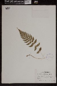 408903[1309459]Whitcomb, William K. s.n.1939-08-00 India, Uttarakhand, Dehradun, Mussoorie (hillstation). Himalaya Mts., 30.416667 77.933333, 1829m |
MIN:Plants | 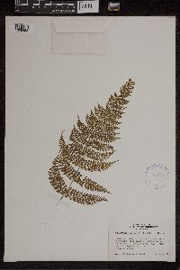 408899[1309463]Whitcomb, William K. s.n.1939-08-00 India, Uttarakhand, Dehradun, Foung on southeast side of college hill, Mussoorie (hill station), 30.416667 77.933333, 1829m |
MIN:Plants | 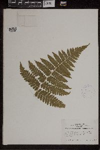 408889[1309465]Whitcomb, William K. s.n.1940-08-00 India, Uttarakhand, Dehradun, Mussoorie (hill station), Himalaya Mts., 30.416667 77.933333, 1829m |
MIN:Plants | 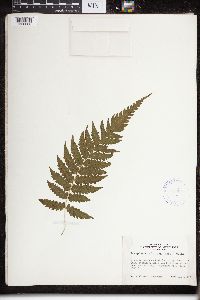 408909[1326660]Whitcomb, William K. 1939-08-00 India, Uttarakhand, 1 mile below Jubberkhet spring. Mussoorie (hill station), Dehra Dun District,United Provinces of India. Himalaya Mts., 30.416667 77.933333, 1829m |
MIN:Plants | 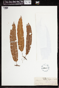 Oleandra wallichii (Hook.) C. Presl 52708[1342605] 1854-07-10 India, Uttarakhand, Hawalbagh, 29.643539 79.635399 |
1
Page 1, records 1-5 of 5
Google Map
Google Maps is a web mapping service provided by Google that features a map that users can pan (by dragging the mouse) and zoom (by using the mouse wheel). Collection points are displayed as colored markers that when clicked on, displays the full information for that collection. When multiple species are queried (separated by semi-colons), different colored markers denote each individual species.