University of Minnesota
http://www.umn.edu/
612-625-5000
http://www.umn.edu/
612-625-5000
Minnesota Biodiversity Atlas
Bell Museum
Dataset: MIN-Plants
Search Criteria: Ireland; excluding cultivated/captive occurrences
1
Page 1, records 1-12 of 12
Bell Museum plants | |
 MIN:Plants | 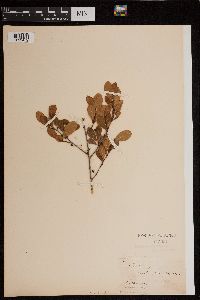 145961[1299472] s.n. Ireland, Killamer |
MIN:Plants | Anacamptis pyramidalis Rich. 91987[1299838]Lomax, A.E. Ireland, Gaillimh, Detailed locality information protected. This is typically done to protect rare or threatened species localities. |
MIN:Plants | Bulbophyllum Thouars 92044[1304079]Wedd, J. Ireland, Kerry, Detailed locality information protected. This is typically done to protect rare or threatened species localities. |
MIN:Plants | Epipactis palustris (L.) Crantz, Stirp. Austr. Fasc. 92674[1310466]Lomax, A.F. Ireland, Hibernia, Galway, Detailed locality information protected. This is typically done to protect rare or threatened species localities. |
MIN:Plants | Habenaria conopsea Benth, 93050[1313397]Lomax, A. E. Ireland, Detailed locality information protected. This is typically done to protect rare or threatened species localities. |
MIN:Plants | 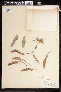 Ceterach Willd. 51504[1315637]Lomax, A.E. s.n.1886-08-02 Ireland, In muro, prope Galway Hibernia |
MIN:Plants | 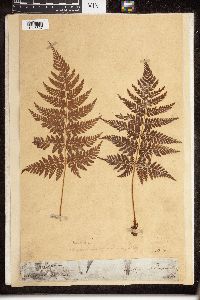 Dryopteris spinulosa (O.F. Müll.) Watt 52045[1326827] 136 Ireland, above powerscourt waterfall, 53.183611 -6.181111 |
MIN:Plants | 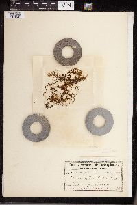 Hymenophyllum wilsonii Hook. 50441[1339046]Colgan, Nathan 1898-09-13 Ireland, Crock-na-guile Mountain, 400m |
MIN:Plants | 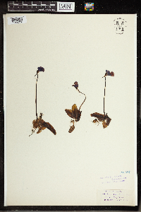 Pinguicula grandiflora W.D.J.Koch 191297[1344036]Lomax, A. E. s.n.1886-06-00 Ireland, Kerry, Connor Hill [Conor Pass], 52.181059 -10.207778 |
MIN:Plants | 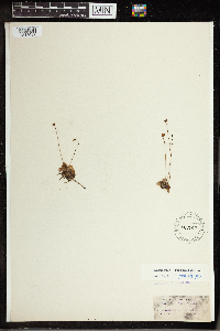 191300[1344037]Lomax, A. E. s.n.1886-08-10 Ireland, Galax city, Prope [[near]] Woodford, Galway, Hibernia, 53.271944 -9.048889 |
MIN:Plants | Drosera anglica Hudson 121920[1345838]Lomax, A.E. Ireland, Detailed locality information protected. This is typically done to protect rare or threatened species localities. |
MIN:Plants | 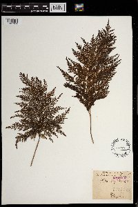 Trichomanes radicans Hook. & Grev. 50470[1301901] Ireland |
1
Page 1, records 1-12 of 12
Google Map
Google Maps is a web mapping service provided by Google that features a map that users can pan (by dragging the mouse) and zoom (by using the mouse wheel). Collection points are displayed as colored markers that when clicked on, displays the full information for that collection. When multiple species are queried (separated by semi-colons), different colored markers denote each individual species.