University of Minnesota
http://www.umn.edu/
612-625-5000
http://www.umn.edu/
612-625-5000
Minnesota Biodiversity Atlas
Bell Museum
Dataset: MIN-Plants
Search Criteria: Nicaragua; Jinotega; excluding cultivated/captive occurrences
1
Page 1, records 1-23 of 23
Bell Museum plants | |
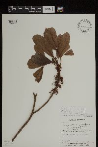
MIN:Plants | Sideroxylon portoricense minutiflorum (Pittier) T.D. Pennington 454561[1299053]Guzman, M.; Castro, D. 21431981-10-22 Nicaragua, Jinotega, Carretera Matagalpa-Jinoega, Km 145, 1400m |
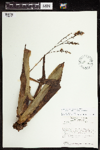
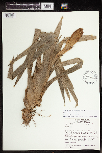
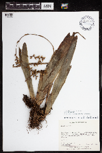
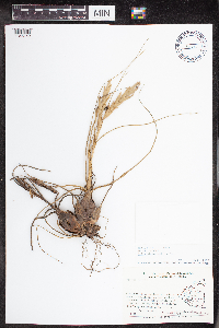
MIN:Plants | Dichaea glauca Lindl. 925271[1310193]Rueda, R. Nicaragua, Jinotega, Detailed locality information protected. This is typically done to protect rare or threatened species localities. |
MIN:Plants | Dichaea graminoides Lindl. 925272[1310195]Rueda, R.M. Nicaragua, Jinotega, Jinotega, Detailed locality information protected. This is typically done to protect rare or threatened species localities. |
MIN:Plants | Dichaea muricatoides Hamer & Garay in Hamer 925269[1310197]Rueda, R. Nicaragua, Jinotega, Detailed locality information protected. This is typically done to protect rare or threatened species localities. |
MIN:Plants | 925270[1310229]Rueda, R. Nicaragua, Jinotega, Detailed locality information protected. This is typically done to protect rare or threatened species localities. |
MIN:Plants | Maxillaria Ruiz & Pav. 925254[1316470]Rueda, R. Nicaragua, Jinotega, Detailed locality information protected. This is typically done to protect rare or threatened species localities. |
MIN:Plants | Oerstedella Rchb.f. 925293[1316519]Rueda, R.M. Nicaragua, Jinotega, Detailed locality information protected. This is typically done to protect rare or threatened species localities. |
MIN:Plants | 925252[1321417]Rueda, R.M. 145192000-08-26 Nicaragua, Jinotega, Cerro Kilambé Reserve, 950 - 1100m |
MIN:Plants | 925262[1320373]Rueda, R.M. Nicaragua, Jinotega, Detailed locality information protected. This is typically done to protect rare or threatened species localities. |
MIN:Plants | 925297[1320374]Rueda, R.M. Nicaragua, Jinotega, Detailed locality information protected. This is typically done to protect rare or threatened species localities. |
MIN:Plants | 925290[1320375]Rueda, R.M. Nicaragua, Jinotega, Detailed locality information protected. This is typically done to protect rare or threatened species localities. |
MIN:Plants | Sobralia macrantha Lindl. 925298[1320431]Rueda, R.M. Nicaragua, Jinotega, Detailed locality information protected. This is typically done to protect rare or threatened species localities. |
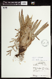
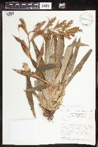
MIN:Plants | Catopsis montana L.B.Sm. 438048[1345066]Stevens, Warren Douglas 203811981-05-24 Nicaragua, Jinotega, Along Hwy 3 ca 1 km NW of La Fundadora entrance, unnamed peak ca 500 m W of Hwy., 13.06639 -85.918443, 1450 - 1520m |
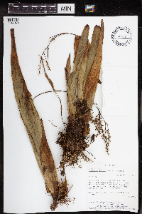
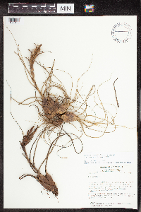
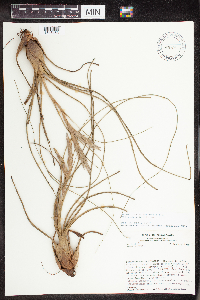
MIN:Plants | Catopsis nitida Griseb. 526488[1345069]Stevens, Warren Douglas 215961982-06-23 Nicaragua, Jinotega, Laguna Miraflor, 13.050768 -86.302235, 1250 - 1300m |
MIN:Plants | Catopsis nitida Griseb. 438049[1345070]Stevens, Warren Douglas s.n.1979-10-31 Nicaragua, Jinotega, Along road from Hwy 3 through La Fundadora, between La Salvadora and La Palestina., 13.06639 -85.918443, 1100 - 1150m |
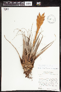
MIN:Plants | Guzmania nicaraguensis Mez & Baker 540896[1345079]Stevens, Warren Douglas 204291981-05-24 Nicaragua, Jinotega, Along Hwy 3 ca 1 km NW of La Fundadora entrance, unnamed peak ca 500 m W of Hwy., 13.06639 -85.918443, 1450 - 1520m |
MIN:Plants | Catopsis nitida Griseb. 962411[1345095]Araquistain, M. 9031980-01-20 Nicaragua, Jinotega, Road between Matagalpa and Jinotega, Km 157.8, on the edge of the same road., 13.091712 -86.001769, 1000m |
MIN:Plants | 438620[1345149]Grijalva, A. 205 Nicaragua, Jinotega, Property La Palestina. Situated 10 km to the east of the city of Jinotega., 13.071014 -85.897827, 1200 - 1300m |
MIN:Plants | 493119[1345150]Stevens, Warren Douglas 152421979-10-25 Nicaragua, Jinotega, N slope of Volcán Yalí; Coffee plantations on lower slopes, upper slopes with tall closed forest., 13.271317 -86.126325, 1200 - 1400m |
MIN:Plants | 493150[1345153]Stevens, Warren Douglas 11,5761979-01-16 Nicaragua, Jinotega, Macizos de Peñas Blancas, top and N slope of steep ridge SW of finca of Manuel Estrada (El Cielo), S of Río Gusaneras., 13.287235 -85.672431, 1200 - 1330m |
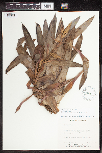
MIN:Plants | Tillandsia lampropoda L.B.Sm. 515305[1345173]Stevens, Warren Douglas 11,5471979-01-16 Nicaragua, Jinotega, Macizos de Peñas Blancas, top and N slope of steep ridge SW of finca of Manuel Estrada (El Cielo), S of Río Gusaneras; ca., 13.287235 -85.672431, 1200 - 1330m |
MIN:Plants | Tillandsia leiboldiana Schltdl. 488088[1345175]Sandino, J.C. 1391980-07-13 Nicaragua, Jinotega, Las Brisas Comarca Kilambe., 13.55 -85.783333, 930m |
MIN:Plants | Tillandsia leiboldiana Schltdl. 515290[1345177]Stevens, Warren Douglas 153731979-10-31 Nicaragua, Jinotega, Along road from Hwy 3 through La Fundadora, between La Salvadora and La Palestina., 13.06639 -85.918443, 1100 - 1150m |
1
Page 1, records 1-23 of 23
Google Map
Google Maps is a web mapping service provided by Google that features a map that users can pan (by dragging the mouse) and zoom (by using the mouse wheel). Collection points are displayed as colored markers that when clicked on, displays the full information for that collection. When multiple species are queried (separated by semi-colons), different colored markers denote each individual species.
