University of Minnesota
http://www.umn.edu/
612-625-5000
http://www.umn.edu/
612-625-5000
Minnesota Biodiversity Atlas
Bell Museum
Dataset: MIN-Plants
Taxa: Borrichia
Search Criteria: excluding cultivated/captive occurrences
1
Page 1, records 1-3 of 3
Bell Museum plants | |
 MIN:Plants | 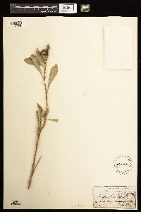 Borrichia frutescens (L.) de Candolle 203901[1181070]Canby, W. s.n.1871-08-00 United States, Virginia, Accomack, Chincoteague Bay;Chincoteague National Wildlife Refuge |
MIN:Plants | 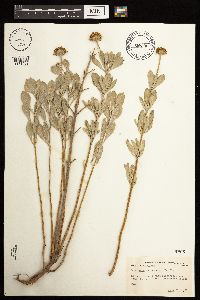 Borrichia frutescens (L.) de Candolle 430478[1181069]Abbott, Robinson s.n.1977-07-23 United States, Virginia, Accomack, Accomack County...behind foredunes, towards Coast Guard Station, Assateague Island;Assateague Island National Seashore |
MIN:Plants | 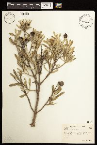 Borrichia frutescens (L.) de Candolle 430479[1181071]Abbott, Robinson s.n.1978-05-24 United States, Texas, Nueces, Nueces County...Bird Islands, Laguna Madre, several mi. S. of causeway bridge to Padre Island.;Padre Island National Seashore |
1
Page 1, records 1-3 of 3
Google Map
Google Maps is a web mapping service provided by Google that features a map that users can pan (by dragging the mouse) and zoom (by using the mouse wheel). Collection points are displayed as colored markers that when clicked on, displays the full information for that collection. When multiple species are queried (separated by semi-colons), different colored markers denote each individual species.