University of Minnesota
http://www.umn.edu/
612-625-5000
http://www.umn.edu/
612-625-5000
Minnesota Biodiversity Atlas
Bell Museum
Dataset: MIN-Plants
Taxa: Cyanea
Search Criteria: excluding cultivated/captive occurrences
1
Page 1, records 1-5 of 5
Bell Museum plants | |
 MIN:Plants | Cyanea leptostegia A. Gray 196801[]Heller, A. 27931895-09-02 United States, Hawaii, Kauai, Kauai, on Kaholuamanoa, above Waimea |
MIN:Plants | Cyanea angustifolia Hillebrand 285092[]Harris, J. Arthur C2420341924-08-16 United States, Hawaii, Oahu, ridge between Waiahale and Waikaue valleys, windward side of Koolau range, Oahu. |
MIN:Plants | Cyanea horrida (Rock) O. Degener & Hosaka 359887[]Degener, O.; et al. 125431939-08-09 United States, Hawaii, Maui, North of Kuiki beyond Haleakala Section of national park, Maui;Haleakala National Park |
MIN:Plants | Cyanea grimesiana subsp. grimesiana Gaudichaud-Beaupr 417665[]Korte s.n.1949-11-15 United States, Hawaii, Oahu, on Oahu...Koolau Range, Poamoho, 335m |
MIN:Plants | 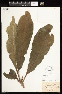 Cyanea sylvestris Heller 196802[1127763]Heller, A.A. 24941895-07-04 United States, Hawaii, Kauai, Island of Kauai, on the Hanapepe and Wahiawa Watershed |
1
Page 1, records 1-5 of 5
Google Map
Google Maps is a web mapping service provided by Google that features a map that users can pan (by dragging the mouse) and zoom (by using the mouse wheel). Collection points are displayed as colored markers that when clicked on, displays the full information for that collection. When multiple species are queried (separated by semi-colons), different colored markers denote each individual species.