University of Minnesota
http://www.umn.edu/
612-625-5000
http://www.umn.edu/
612-625-5000
Minnesota Biodiversity Atlas
Bell Museum
Dataset: MIN-Plants
Taxa: Saussurea
Search Criteria: excluding cultivated/captive occurrences
1
Page 1, records 1-22 of 22
Bell Museum plants | |
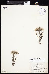
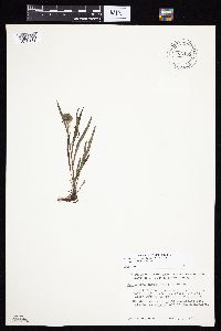
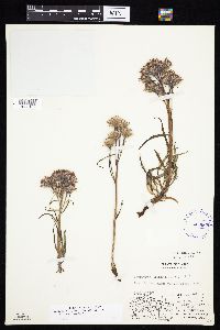
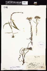
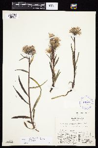
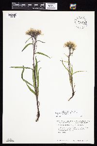
MIN:Plants | Saussurea angustifolia var. angustifolia (L.) de Candolle 399522[1050185]Spetzman, L. 3631947-07-23 United States, Alaska, Canning River ... where river leaves mountains.;Arctic National Wildlife Refuge;;;, 69.2833333 -146 |
MIN:Plants | Saussurea angustifolia var. angustifolia (L.) de Candolle 548603[1050186]Spetzman, L. 39261951-07-15 United States, Alaska, Arctic North Slope...Canning R. & Ignek Cr.;Arctic National Wildlife Refuge;;;, 69.5833333 -146.25, 305m |
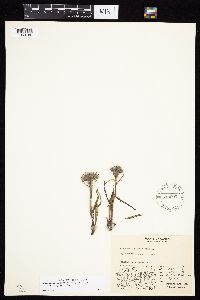
MIN:Plants | Saussurea angustifolia var. angustifolia (L.) de Candolle 417964[1050184]Spetzman, L. 41581950-07-17 United States, Alaska, Arctic North Slope...Noatak & Kugururok R.;Noatak National Preserve;;;, 67.9666667 -161.9166667, 152m |
MIN:Plants | Saussurea angustifolia var. angustifolia (L.) de Candolle 292790[1050183]Mexia, Ynes 21071928-07-24 United States, Alaska, McKinley National Park...Flat north of Savage Camp.;Denali National Park, 900m |
MIN:Plants | Saussurea angustifolia var. angustifolia (L.) de Candolle 700109[1050182]Glaser, Paul 921972-07-05 United States, Alaska, Mt. McKinley National Park...T14S R10W Sec.9, Sanctuary River terrace;Denali National Park;014S;10W;09, 63.81167 -149.51417, 792m |
MIN:Plants | Saussurea angustifolia var. angustifolia (L.) de Candolle 403665[1050187]Spetzman, L. 7041948-07-14 United States, Alaska, Arctic North Slope ... Lake Peters;Arctic National Wildlife Refuge;;;, 69.3333333 -145, 1067m |
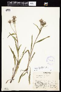
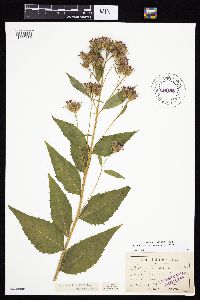
MIN:Plants | Saussurea americana D.C. Eaton 213483[1050180]Sandberg, John s.n.1882-06-00 United States, Idaho, Kootenai, [no further data] |
MIN:Plants | Saussurea angustifolia var. angustifolia (L.) de Candolle 418269[1050189]Spetzman, L. 20811949-07-17 United States, Alaska, Arctic North Slope...Kanayut Lake;Gates of the Arctic National Park;;;, 68.3333333 -151, 914m |
MIN:Plants | Saussurea angustifolia var. angustifolia (L.) de Candolle 403666[1050188]Spetzman, L. 11641948-08-16 United States, Alaska, Arctic North Slope...Sadlerochit River;Arctic National Wildlife Refuge;;;, 69.5833333 -144.75, 457m |
MIN:Plants | Saussurea angustifolia var. angustifolia (L.) de Candolle 700111[1050181]Glaser, Paul 3611972-08-02 United States, Alaska, Mt. McKinley National Park...SE1/4NW1/4Sec.16 T17S R16W, Mile 76...Muldrow Glacier.;Denali National Park;017S;16W;16, 853m |
MIN:Plants | Saussurea angustifolia var. angustifolia (L.) de Candolle 700110[]Glaser, Paul 6721974-07-15 United States, Alaska, Mt. McKinley National Park...SE1/4SE1/4Sec.9 T14S R10W, Sanctuary River;Denali National Park;014S;10W;09, 762m |
MIN:Plants | Saussurea angustifolia var. angustifolia (L.) de Candolle 417961[]Spetzman, L. 37801950-07-04 United States, Alaska, Arctic North Slope...Kurupa Lake;Gates of the Arctic National Park;;;, 68.3666667 -154.6666667, 945m |
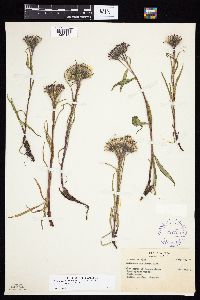
MIN:Plants | Saussurea americana D.C. Eaton 213476[]Elmer, A.D.E. 26281900-08-00 United States, Washington, Clallam, Olympic Mts. [Olympic National Park], 47.83 -123.83 |
MIN:Plants | Saussurea angustifolia var. angustifolia (L.) de Candolle 417392[]Lachenbruch, A.; et al. 951950-07-11 United States, Alaska, Arctic North Slope...So. bank of Noatak R.;Noatak National Preserve;;;, 67.9333333 -161.0833333, 213m |
MIN:Plants | Saussurea angustifolia var. angustifolia (L.) de Candolle 700105[]Glaser, Paul 6951974-07-24 United States, Alaska, Mt. McKinley National Park...T14S R10W Sec.9, Sanctuary River terrace;Denali National Park;014S;10W;09, 63.81167 -149.51417, 792m |
MIN:Plants | Saussurea angustifolia var. angustifolia (L.) de Candolle 403667[]Spetzman, L. 9101948-07-30 United States, Alaska, Arctic North Slope...Ikiakpauruk Valley;Arctic National Wildlife Refuge;;;, 69.5 -145.5, 762m |
MIN:Plants | Saussurea angustifolia var. angustifolia (L.) de Candolle 438580[]Gould, William s.n.1995-06-00 Canada, Nunavut, Hood River...along the Hood River valley.;;;;, 66.7833333 -111, 400m |
MIN:Plants | Saussurea angustifolia var. angustifolia (L.) de Candolle 292785[]Mexia, Ynes 22011928-08-06 United States, Alaska, McKinley National Park...Near center of N. boundary of Park. E. side of Wonder Lake.;Denali National Park;;;, 63.45884 -150.86412, 700m |
MIN:Plants | Saussurea angustifolia var. angustifolia (L.) de Candolle 700112[]Glaser, Paul 1391972-07-15 United States, Alaska, Mt. McKinley National Park...SE1/4SE1/4Sec.12 T14S R11W, NE of Igloo C.G.;Denali National Park;014S;11W;12, 63.7158 -149.59634, 884m |
MIN:Plants | Saussurea angustifolia var. angustifolia (L.) de Candolle 418270[]Spetzman, L. 18091949-07-10 United States, Alaska, Arctic North Slope ... Anaktuvuk Pass;Gates of the Arctic National Park;;;, 68.2833333 -151.4166667, 610m |
MIN:Plants | Saussurea americana D.C. Eaton 213477[]Sandberg, John s.n.1882-07-00 United States, Idaho, Kootenai, [no further data] |
MIN:Plants | Saussurea americana D.C. Eaton 213481[]Piper, C. 21411915-08-01 United States, Washington, Pierce, Mt. Rainier;Mount Rainier National Park, 1981m |
1
Page 1, records 1-22 of 22
Google Map
Google Maps is a web mapping service provided by Google that features a map that users can pan (by dragging the mouse) and zoom (by using the mouse wheel). Collection points are displayed as colored markers that when clicked on, displays the full information for that collection. When multiple species are queried (separated by semi-colons), different colored markers denote each individual species.
