University of Minnesota
http://www.umn.edu/
612-625-5000
http://www.umn.edu/
612-625-5000
Minnesota Biodiversity Atlas
Bell Museum
Dataset: MIN-Plants
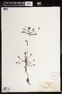
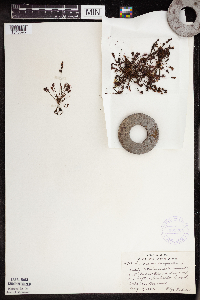
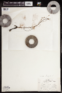
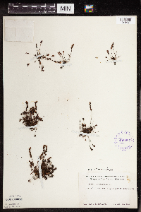
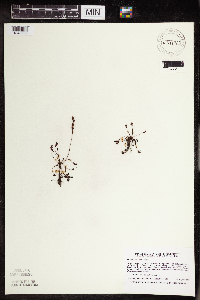
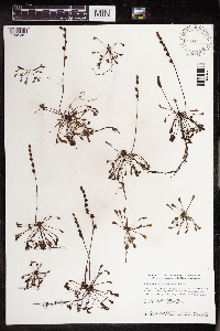
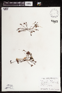
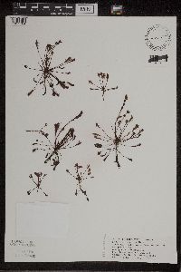
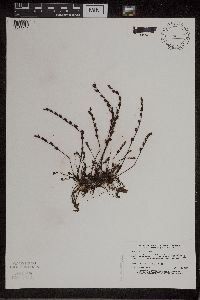
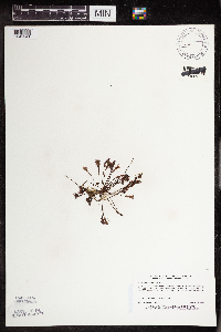
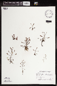
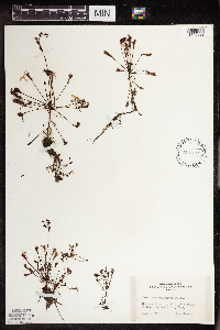
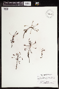
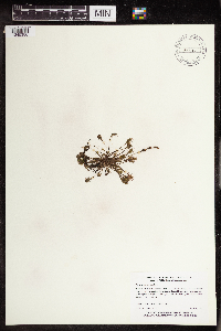
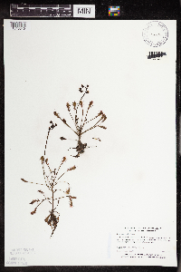
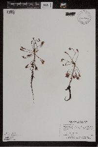
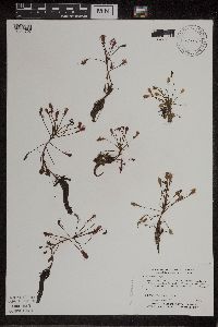
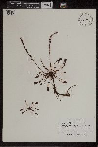
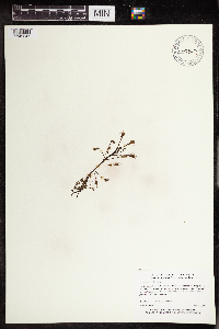
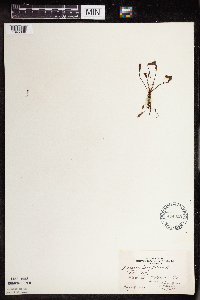
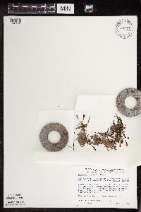
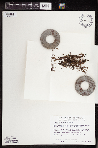
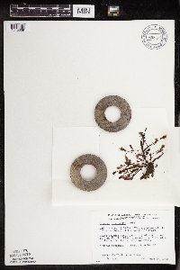
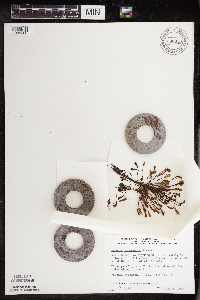
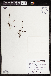
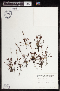
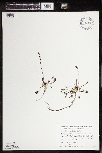
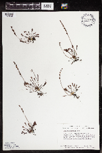
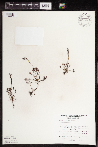
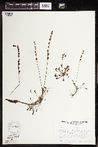
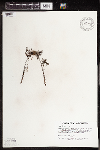
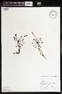
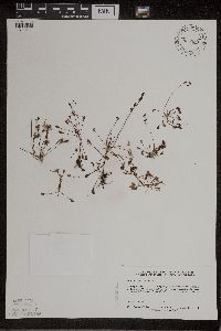
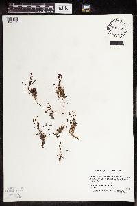
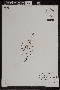
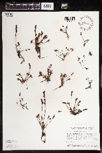
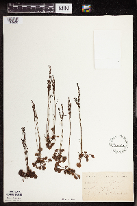
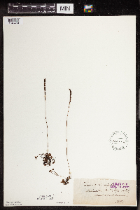
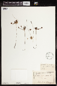
Taxa: Drosera
Search Criteria: excluding cultivated/captive occurrences
Bell Museum plants | |
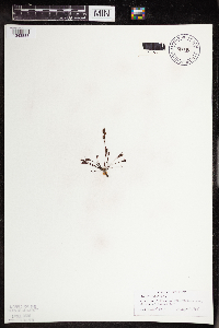
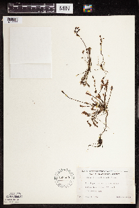
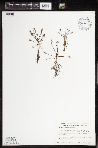
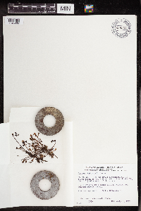
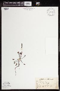
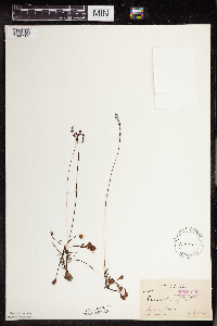
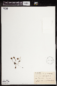
MIN:Plants | Drosera intermedia Hayne 364091[1345411]Ballard, C. s.n.1893-07-00 United States, Minnesota, Cass, Lake Kilpatrick;;135N;29W;, 46.500163 -94.32908 |
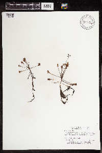
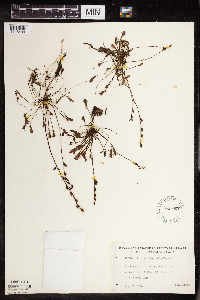
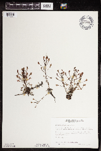
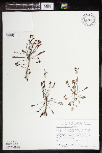
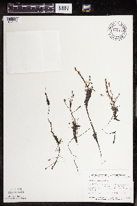
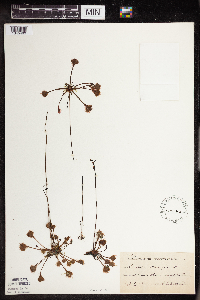
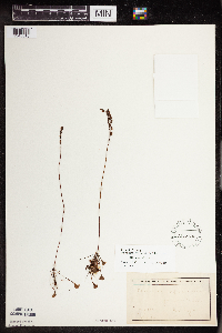
MIN:Plants | Drosera intermedia Hayne 369224[1345395]Lakela, Olga 47151941-08-09 United States, Minnesota, Lake, in Pitcher Plant Swamp on Tofte - Isabella Rd;Superior National Forest;N;;, 47.598613 -91.092572 |
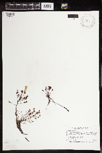
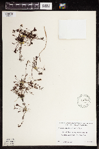
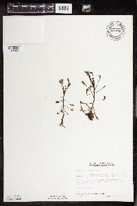
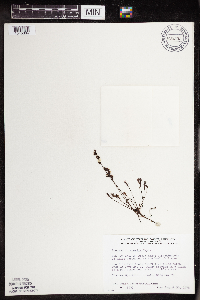
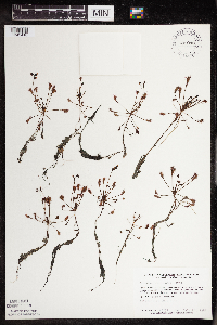
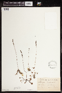
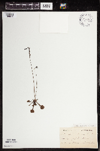
MIN:Plants | Drosera intermedia Hayne 392816[1345404]Lakela, Olga 29841939-06-18 United States, Minnesota, Saint Louis, on hwy 53, 18 mi n of Duluth;;N;;, 46.94511 -92.44308 |
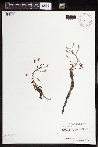
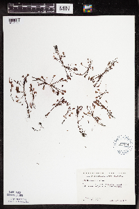
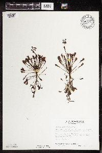
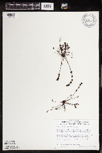
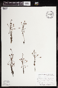
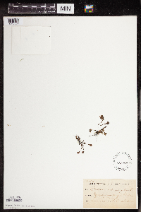
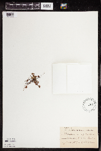
MIN:Plants | Drosera intermedia Hayne 403153[1345407]Schuster, R. A53071948-08-21 United States, Minnesota, Cook, at Grand Portage;Grand Portage Indian Reservation / North Shore;063N;06E;, 47.958468 -89.703576 |
MIN:Plants | Drosera intermedia Hayne 419214[1345396]Briggs, John De Q.; Briggs, Marjorie 851945-08-08 United States, Minnesota, Cook, 3 mi s of Sawbill Lake;Superior National Forest;062N;04W;, 47.845796 -90.829882 |
MIN:Plants | Drosera intermedia Hayne 419952[1345393]Lakela, Olga 121031950-09-07 United States, Minnesota, Saint Louis, on Sturgeon Lake Road n of Hibbing.;;N;;, 47.533056 -92.919346 |
MIN:Plants | Drosera intermedia Hayne 428173[1311709]Smith, Welby 179501990-08-09 United States, Minnesota, Roseau, Roseau River Wildlife Management Area. Roseau Co.; Roseau River State Wildlife Management Area, about 6.5 mi W of the town of Pine Creek; Roseau Co.; Roseau River State Wildlife Management Area, about 6.5 mi W of the town of Pine Creek; T163N R42W NW1/4 of NE1/4 of sEc 4. 163N 42W 4, 48.9666672 -96.0827789 |
MIN:Plants | Drosera intermedia Hayne 428225[1311705]Jerry, J. 940720041994-07-20 United States, Minnesota, Itasca, Itasca County...Hale Lake...T 147N R 28W SW1/4 of NE1/4 of Sec 24;Chippewa National Forest / Leech Lake Indian Reservation;147N;28W;24, 47.531191 -94.171262 |
MIN:Plants | Drosera intermedia Hayne 439137[1343885]Boe, J.; et al. 980812051998-08-12 United States, Minnesota, Aitkin, Southwest of ridge southwest of Remote Lake; area known locally as the "grass ponds". NW1/4 of SE1/4 of section.;Savanna State Forest;050N;23W;14, 46.817285 -93.221722 |
MIN:Plants | Drosera intermedia Hayne 439339[1345381]Smith, Welby 163071989-08-30 United States, Minnesota, Kanabec, Lake Five Wildlife Management Area. Kanabek [sic] County...Lake Five State Wildlife Management Area, on the S side of Bland Lake (Lake Five), about 17 miles N-NE of Mora...NE1/4 NE1/4 sec.8, T42N R22W. 042N 22W 8, 46.1433333 -93.1388889 |
MIN:Plants | Drosera intermedia Hayne 439350[1345384]Smith, Welby 143361988-06-25 United States, Minnesota, Aitkin, Long Lake Conservation Center, about 7.5 mi W-NW of McGregor. N side of Long Lake. SW1/4 NW1/4 of section;<No data>;048N;25W;13, 46.6477778 -93.46 |
MIN:Plants | Drosera intermedia Hayne 439905[1311704]Puchalski, L. 1721992-08-15 United States, Minnesota, Saint Louis, T159N [sic] R16W S11 NW1/4; found where snowmobile trail leaves upland; St. Louis Co.;Superior National Forest;059N;16W;11, 47.610522 -92.336859 |
MIN:Plants | Drosera intermedia Hayne 440164[1311712]Myhre, K. 46591993-09-18 United States, Minnesota, Pine, Pine Co. Located 1 mi E of Lena Lake; N shore of Sutton Lake; T41N R17W NE1/4 of NE1/4 of Sec 14;Saint Croix State Forest;041N;17W;14, 46.034229 -92.457065 |
MIN:Plants | Drosera intermedia Hayne 440774[1345341]Myhre, K. 45281993-08-19 United States, Minnesota, Pine, Pine Co. Located 1 mi SE of the town of Willow River; E half of Second Lake; T44N R19W SW1/4 of NW1/4 of Sec 7.;;044N;19W;7, 46.309615 -92.793173 |
MIN:Plants | Drosera intermedia Hayne 440979[1343888]Myhre, K. 38631993-06-21 United States, Minnesota, Pine, Pine Co. Located along the S shore of Razor Lake; 100-acre bog-surrounded lake; T41N R17W SW1/4 of SW1/4 of sec 4;;041N;17W;4, 46.062807 -92.498464 |
MIN:Plants | Drosera intermedia Hayne 443319[1345392]Lakela, Olga 134761951-07-20 United States, Minnesota, Saint Louis, Sturgeon Lake bog, 20 mi n of Hibbing.;George Washington State Forest;N;;, 47.716656 -92.937689 |
MIN:Plants | Drosera intermedia Hayne 445621[1345349]Boe, J.; et al. 960711061996-07-11 United States, Minnesota, Aitkin, Fire Tower Pond. SE1/4 of NE1/4 of section.;Savanna State Forest;049N;23W;16, 46.732125 -93.265321 |
MIN:Plants | Drosera intermedia Hayne 445665[1345380]Myhre, K. 60671995-08-10 United States, Minnesota, Aitkin, 4.5 miles southeast of the town of Palisade in Long Lake Conservation Center. SW1/4 of NW1/4 of section;<No data>;048N;25W;13, 46.645187 -93.453534 |
MIN:Plants | Drosera intermedia Hayne 457206[1345340]Myhre, K. 5174A1994-07-05 United States, Minnesota, Itasca, Itasca County...located one quarter mile north of Joel Lake...T 60N R 26W SE1/4 of SW1/4 of Sec 14;Chippewa National Forest;060N;26W;14, 47.681982 -93.608703 |
MIN:Plants | Drosera intermedia Hayne 457311[1311714]Myhre, K. 5169A1994-07-05 United States, Minnesota, Itasca, Itasca Co.; locatd 2.7 miles southwest of the townof Bigfork; small bog lake; T 60N R 26W SW1/4 of SW1/4 of Sec 5;Chippewa National Forest;060N;26W;5, 47.713566 -93.673252 |
MIN:Plants | Drosera intermedia Hayne 458849[1311707]Myhre, K.; et al. 50791994-06-27 United States, Minnesota, Itasca, Itasca County...located one mile north of Joel Lake...T 60N R 26W NW1/4 of SE1/4 of Sec 14;Chippewa National Forest;060N;26W;14, 47.681982 -93.608703 |
MIN:Plants | Drosera intermedia Hayne 460479[1311713]Myhre, K. 62461995-09-06 United States, Minnesota, Aitkin, Aitkin Co.; Located 6 miles southeast of the town of Aitkin; Linde Lake; T 46N R 26W NW1/4 of NE1/4 of Sec 15;;046N;26W;15, 46.46802 -93.611576 |
MIN:Plants | Drosera intermedia Hayne 460510[1345347]Myhre, K. 55551995-06-14 United States, Minnesota, Crow Wing, Crow Wing Co.; Located one mile west of Farm Island Lake on the Aitkin-Crow Wing county line; Sunset Lake; T 46N R 28W S Crow Wing Co.; Located one mile west of Farm Island Lake on the Aitkin-Crow Wing county line; Sunset Lake; T 46N R 28W SE1/4 of NE1/4 of sec 25. 046N 28W 25, 46.439013 -93.820842 |
MIN:Plants | Drosera intermedia Hayne 494429[1345398]Nelson, Minnie; et al. s.n.1941-08-18 United States, Minnesota, Beltrami, Big Bog, Waskish;<No data>;;;, 48.161352 -94.512455 |
MIN:Plants | Drosera intermedia Hayne 519318[1343883]Scott, P. 9071996-08-17 United States, Minnesota, Cook, Cook Co. Fiddle Pond T63NR1W sec.2 NSW.;Superior National Forest;063N;01W;2, 47.968892 -90.415147 |
MIN:Plants | Drosera intermedia Hayne 519343[1345348]Myhre, K. 64361996-07-26 United States, Minnesota, Aitkin, Aitkin Co.; Located one half mile west of Elm Island Lake; T 46N R 26W NE1/4 of NE1/4 of Sec 22;;046N;26W;22, 46.453548 -93.61125 |
MIN:Plants | Drosera intermedia Hayne 519585[1343886]Smith, Welby 188441991-06-20 United States, Minnesota, Lake, Superior National Forest. Lake County...about 16 miles NW of Isabella and about 1 mile W of Highway 1 on FR 424 (Denley Road); T60N R11W SW1/4 of SE1/4 of Sec 1. 060N 11W 1, 47.7075005 -91.6619415 |
MIN:Plants | Drosera intermedia Hayne 520577[1343887]Myhre, K. 50031994-06-15 United States, Minnesota, Itasca, Itasca Co.; located on the SE shore of Telephone Lake; T59N R26W NE1/4 of SE1/4 of Sec 22;Chippewa National Forest;059N;26W;22, 47.580163 -93.629164 |
MIN:Plants | Drosera intermedia Hayne 525639[1345388]Lakela, Olga 182651954-08-20 United States, Minnesota, Saint Louis, Finberg Lake, hwy 73 N of Floodwood Lake.;;N;;, 47.201888 -93.006033 |
MIN:Plants | Drosera intermedia Hayne 527007[1345400]Lakela, Olga 182651954-00-00 United States, Minnesota, Saint Louis, Finberg Lake, hwy 73 n of Floodwood Lake;;N;;, 47.201888 -93.006033 |
MIN:Plants | Drosera intermedia Hayne 533127[1345397]Lakela, Olga 205261956-07-23 United States, Minnesota, Saint Louis, s of Gilbert, about 1 mi from Bass Lake.;;N;;, 47.46081 -92.462253 |
MIN:Plants | Drosera intermedia Hayne 657444[1345362]Wheeler, Gerald 47941974-07-12 United States, Minnesota, Beltrami, 11.3 mi n of Washkish.;;N;;, 48.324899 -94.512455 |
MIN:Plants | Drosera intermedia Hayne 669822[1345356]Wheeler, Gerald s.n.1975-07-07 United States, Minnesota, Saint Louis, 3 mi se of the jnc of the main road to the Dunka Mine (Erie Mining Co.) and the Reserve Mining Co. railroad tracks; near 3 mi se of the jnc of the main road to the Dunka Mine (Erie Mining Co.) and the Reserve Mining Co. railroad tracks; near Babbitt.. N, 47.64064 -91.8639 |
MIN:Plants | Drosera intermedia Hayne 687154[1345354]Wheeler, Gerald; Glaser, Paul 15821977-06-04 United States, Minnesota, Itasca, Approx. 11 mi n-ne of Grand Rapids. Coll. site no.41. SW1/4 SW1/4 Sec.22 T57N R25W.;;057N;25W;22, 47.406623 -93.504033 |
MIN:Plants | Drosera intermedia Hayne 687162[1345352]Wheeler, Gerald; Glaser, Paul 15901977-06-04 United States, Minnesota, Itasca, Approx. 12.5 mi n-nw of Grand Rapids. Coll. site no. 42. SW1/4 SE1/4 Sec.18 T57N R25W.;Chippewa National Forest;057N;25W;18, 47.421972 -93.567645 |
MIN:Plants | Drosera intermedia Hayne 687525[1345361]Wheeler, Gerald; Glaser, Paul 19671977-07-09 United States, Minnesota, Itasca, Approx. 11 mi n-ne of Grand Rapids. SW1/4 SW1/4 Sec.22 T57N R25W.;;057N;25W;22, 47.406623 -93.504033 |
MIN:Plants | Drosera intermedia Hayne 687617[1345355]Wheeler, Gerald; Glaser, Paul 20621977-07-13 United States, Minnesota, Itasca, Approx. 11 mi n-ne of Grand Rapids. Coll. site 41, near releve 8. SW1/4 SW1/4 Sec.22 T57N R25W.;;057N;25W;22, 47.406623 -93.504033 |
MIN:Plants | Drosera intermedia Hayne 687719[1345353]Wheeler, Gerald; Glaser, Paul 21651977-07-20 United States, Minnesota, Itasca, Approx. 8.5 mi n-nw of Grand Rapids. Coll. site 130. NW1/4 NW1/4 sec.1 T56N R26W.;;056N;26W;1, 47.362785 -93.587218 |
MIN:Plants | Drosera intermedia Hayne 691445[1345408]Ringle, J. s.n.1978-08-15 United States, Minnesota, Cass, Cass Co. 5 mi E of Walker on U.S. 200, then 2 1/2 mi n on co. rd. 13 (Onigum Rd.);Chippewa National Forest / Leech Lake Indian Reservation;142N;30W;, 47.109066 -94.468512 |
MIN:Plants | Drosera intermedia Hayne 698123[1345370]Wheeler, Gerald; Glaser, Paul 29231978-06-08 United States, Minnesota, Beltrami, Red Lake Peatland Scientific Natural Area. Approx. 12 mi n of the Waskish Airport on rt. 72, about 2 mi w of the road. Coll. site no.10. SW1/4 NW1/4 Sec.14 T156N R Approx. 12 mi n of the Waskish Airport on rt. 72, about 2 mi w of the road. Coll. site no.10. SW1/4 NW1/4 Sec.14 T156N R31W.. 156N 31W 14, 48.330611 -94.586355 |
MIN:Plants | Drosera intermedia Hayne 698191[1345368]Wheeler, Gerald; Glaser, Paul 29911978-06-20 United States, Minnesota, Beltrami, Red Lake Peatland Scientific Natural Area. Approx. 13.5 mi n-nw of the Waskish Airport. Ovoid Islands Area; about 3 1/4 mi ne of Camp No. I. Coll. site no.15. NE1/ Approx. 13.5 mi n-nw of the Waskish Airport. Ovoid Islands Area; about 3 1/4 mi ne of Camp No. I. Coll. site no.15. NE1/4 NE1/4 Sec.17 T156N R31W.. 156N 31W 17, 48.330683 -94.650984 |
MIN:Plants | Drosera intermedia Hayne 698214[1345367]Wheeler, Gerald; Glaser, Paul 30141978-06-21 United States, Minnesota, Beltrami, Approx. 12.5 mi nw of the Waskish Airport. Ovoid Islands Area; about 1 1/4 mi sw of Camp No. I. Coll. site no.22. SW1/4 Approx. 12.5 mi nw of the Waskish Airport. Ovoid Islands Area; about 1 1/4 mi sw of Camp No. I. Coll. site no.22. SW1/4 NW1/4 Sec.25 T156N R32W.. 156N 32W 25, 48.303133 -94.695865 |
MIN:Plants | Drosera intermedia Hayne 698231[1345369]Wheeler, Gerald; Glaser, Paul 30311978-06-24 United States, Minnesota, Beltrami, Approx. 14 mi nw of thw Waskish Airport. Ovoid Islands Area; about 0.5 mi nw of Camp No. I. Coll. site no.26. NE1/4 NW1/ Approx. 14 mi nw of thw Waskish Airport. Ovoid Islands Area; about 0.5 mi nw of Camp No. I. Coll. site no.26. NE1/4 NW1/4 Sec.25 T156N R32W.. 156N 32W 25, 48.303133 -94.695865 |
MIN:Plants | Drosera intermedia Hayne 698338[1345366]Wheeler, Gerald; Glaser, Paul 31381978-07-04 United States, Minnesota, Beltrami, Approx. 12 mi n of the Waskish Airport on rt.72, about 0.5 mi e of the road. Coll. site no.46.;Red Lake Peatland Scientific Natural Area;156N;30W;18, 48.330491 -94.543471 |
MIN:Plants | Drosera intermedia Hayne 698354[1345365]Wheeler, Gerald; Glaser, Paul 31541978-07-05 United States, Minnesota, Beltrami, Approx. 12 mi n of the Waskish Airport on rt. 72, about 0.5 mi e of the road. Coll. site no.49.;Red Lake Peatland Scientific Natural Area;156N;30W;18, 48.330491 -94.543471 |
MIN:Plants | Drosera intermedia Hayne 698443[1345363]Wheeler, Gerald; Glaser, Paul 32441978-07-15 United States, Minnesota, Beltrami, Approx. 16 mi nw of the Waskish Airport. Western Edge of Ovoid Island Area; about 0.25 mi sw of Camp No. II. Coll. site Approx. 16 mi nw of the Waskish Airport. Western Edge of Ovoid Island Area; about 0.25 mi sw of Camp No. II. Coll. site no.64. NW1/2 SE1/4 Sec.15 T156N R32W.. 156N 32W 15, 48.332044 -94.742064 |
MIN:Plants | Drosera intermedia Hayne 698503[1345364]Wheeler, Gerald; Glaser, Paul 33071978-08-30 United States, Minnesota, Beltrami, Approx. 15 mi nw of the Waskish Airport. Ovoid Islands Area; about 1/75 mi n-w of Camp No. I. Coll. site no.76. NW1/4 NW Approx. 15 mi nw of the Waskish Airport. Ovoid Islands Area; about 1/75 mi n-w of Camp No. I. Coll. site no.76. NW1/4 NW1/4 Sec.24 T156N R32W.. 156N 32W 24, 48.317655 -94.695854 |
MIN:Plants | Drosera intermedia Hayne 698612[1345372]Wheeler, Gerald; Glaser, Paul 33431978-08-31 United States, Minnesota, Koochiching, Red Lake Peatland Scientific Natural Area. Approx. 8.5 mi e of rt. 72 and 10.5 mi n-ne of the Waskish Airport. Koochiching Area. Coll. site no.81. SW1/4 NW1/4 Sec. Approx. 8.5 mi e of rt. 72 and 10.5 mi n-ne of the Waskish Airport. Koochiching Area. Coll. site no.81. SW1/4 NW1/4 Sec.16 T156N R29W.. 156N 29W 16, 48.33103 -94.37074 |
MIN:Plants | Drosera intermedia Hayne 698649[1345371]Wheeler, Gerald; Glaser, Paul 33801978-08-31 United States, Minnesota, Koochiching, Red Lake Peatland Scientific Natural Area. Approx. 8.5 mi e of rt. 72 and 10.5 mi n-ne of the Waskish Airport. Koochiching Area. Coll. site no.87. NW1/4 NW1/4 Sec. Approx. 8.5 mi e of rt. 72 and 10.5 mi n-ne of the Waskish Airport. Koochiching Area. Coll. site no.87. NW1/4 NW1/4 Sec.15 T156N R29W.. 156N 29W 15, 48.33103 -94.37074 |
MIN:Plants | Drosera intermedia Hayne 701996[1345389]Glaser, Paul 10711979-08-16 United States, Minnesota, Saint Louis, Approx. 2 1/2 mi n of Alborn on hwy 7; NW1/4 NW1/4 Sec.12 T52N R18W.;;052N;18W;12, 47.004984 -92.565638 |
MIN:Plants | Drosera intermedia Hayne 709829[1345351]Wheeler, Gerald 48471979-09-07 United States, Minnesota, Itasca, Approx. 8.5 mi n-nw of Grand Rapids. T56N R26W Sec.1.;;056N;26W;1, 47.362785 -93.587218 |
MIN:Plants | Drosera intermedia Hayne 724670[1345403]Smith, Welby 32051980-08-06 United States, Minnesota, Saint Louis, Between co. rds. 7 and 220, about 2 mi n of Alborn. T52N R18W NW1/4 NE1/4 NW1/4 sec.12.;;052N;18W;12, 47.004984 -92.565638 |
MIN:Plants | Drosera intermedia Hayne 763374[1345358]Lugger, O. 53911900-07-00 United States, Minnesota, Cass, Lake Kilpatrick [= Lake Margaret];;135N;29W;20, 46.492526 -94.361801 |
MIN:Plants | Drosera intermedia Hayne 781073[1345386]Smith, Welby 90921984-06-12 United States, Minnesota, Koochiching, North Black River Peatland, about 10 mi w of Loman. SW1/4 NE1/4 sec.17 T158N R26W.;North Black River Peatland Scientific Natural Area;158N;26W;17, 48.505029 -94.003668 |
MIN:Plants | Drosera intermedia Hayne 781092[1345410]Smith, Welby 96521984-07-26 United States, Minnesota, Koochiching, Koochiching Co.; Myrtle Lake Peatland, about 23 mi s of Little Fork (town). NE1/4 NW1/4 sec.10 T64N R25W.;Myrtle Lake Peatland Scientific Natural Area;064N;25W;10, 48.051032 -93.52254 |
MIN:Plants | Drosera intermedia Hayne 781375[1345387]Smith, Welby 97121984-07-27 United States, Minnesota, Beltrami, Western water track of the Red Lake Peatlands, about 19 mi n-nw of Waskish.;Red Lake Peatland Scientific Natural Area;155N;33W;5, 48.273925 -94.914605 |
MIN:Plants | Drosera intermedia Hayne 794377[1345373]Glaser, Paul 11961980-07-17 United States, Minnesota, Koochiching, Releve 27. North Black River Peatland; 6 mi w of Loman and 28 mi w of International Falls. NE1/4 SE1/4 Sec.3 T158N R26W.;North Black River Peatland Scientific Natural Area;158N;26W;3, 48.533901 -93.960031 |
MIN:Plants | Drosera intermedia Hayne 796508[1345382]Cholewa, A.; Engels, A. 15071988-08-05 United States, Minnesota, Aitkin, Aitkin Co. Savanna Portage State Park, W of Loon Lake; T50N R23W S13 nw1/4 of ne1/4.;Savanna Portage State Park;050N;23W;13, 46.817098 -93.200656 |
MIN:Plants | Drosera intermedia Hayne 816981[1345383]Delaney, B. 893101989-08-25 United States, Minnesota, Isanti, small bog lake 2 mi ne of the crossroads known as Springvale; at the Springvale Campground. SW1/4 SE1/4 sec.36 T37N R24W small bog lake 2 mi ne of the crossroads known as Springvale; at the Springvale Campground. SW1/4 SE1/4 sec.36 T37N R24W.. 037N 24W 36, 45.651645 -93.275828 |
MIN:Plants | Drosera intermedia Hayne 822301[1345412]Vixie, D. 4611979-07-26 United States, Minnesota, Saint Louis, Moss Lake (formerly Mud Lake), Ely, Morse Twp. SE1/4 of section;Superior National Forest;062N;12W;04, 47.882157 -91.873169, 442m |
MIN:Plants | Drosera intermedia Hayne 828589[1311711]Delaney, B. 901481990-07-13 United States, Minnesota, Isanti, Isanti Co.; off the SE side of Hoffman Lake; SE1/4 SW1/4 sec.14, T34N, R22W;;034N;22W;14, 45.433953 -93.05149 |
MIN:Plants | Drosera intermedia Hayne 832268[1343884]Myhre, K. 21881992-06-09 United States, Minnesota, Cass, Cass Co. Located 1/2 mi NE of the town of Remer; bog surrounding a 75 acre lake; T142N R25W NW1/4 of SW1/4 of Sec 31;Chippewa National Forest;142N;25W;31, 47.070933 -93.891605 |
MIN:Plants | Drosera intermedia Hayne 832311[1311706]Myhre, K. 28861992-07-28 United States, Minnesota, Cass, Cass Co. Located 1/2 mi S of Blackwater Lake; 10 acre lake; T140N R29W NE1/4 of NW1/4 of Sec 36;;140N;29W;36, 46.898909 -94.289036 |
MIN:Plants | Drosera intermedia Hayne 834022[1345385]Smith, Welby 161201989-08-14 United States, Minnesota, Cook, Cook Co. In the Boundary Waters Canoe Area Wilderness, Superior National Forest. SE1/4 SW1/4 sec 26, T64N R4W;Boundary Waters Canoe Area Wilderness / Superior National Forest;064N;04W;26, 47.997458 -90.799426 |
MIN:Plants | Drosera linearis Goldie 121956[1345419]Herrick, C. United States, Minnesota, Hennepin, Detailed locality information protected. This is typically done to protect rare or threatened species localities. |
MIN:Plants | Drosera linearis Goldie 277798[1345418]Roberts, Thomas United States, Minnesota, Hennepin, Detailed locality information protected. This is typically done to protect rare or threatened species localities. |
MIN:Plants | Drosera linearis Goldie 698378[1345429]Wheeler, Gerald; Glaser, Paul United States, Minnesota, Beltrami, Detailed locality information protected. This is typically done to protect rare or threatened species localities. |
MIN:Plants | Drosera linearis Goldie 698423[1345426]Wheeler, Gerald; Glaser, Paul United States, Minnesota, Beltrami, Detailed locality information protected. This is typically done to protect rare or threatened species localities. |
MIN:Plants | Drosera linearis Goldie 698427[1345430]Wheeler, Gerald; Glaser, Paul United States, Minnesota, Beltrami, Detailed locality information protected. This is typically done to protect rare or threatened species localities. |
MIN:Plants | Drosera linearis Goldie 698448[1345425]Wheeler, Gerald; Glaser, Paul United States, Minnesota, Beltrami, Detailed locality information protected. This is typically done to protect rare or threatened species localities. |
MIN:Plants | Drosera linearis Goldie 698498[1345424]Wheeler, Gerald; Glaser, Paul United States, Minnesota, Beltrami, Detailed locality information protected. This is typically done to protect rare or threatened species localities. |
MIN:Plants | Drosera linearis Goldie 770699[1345431]Smith, Welby United States, Minnesota, Koochiching, Detailed locality information protected. This is typically done to protect rare or threatened species localities. |
MIN:Plants | Drosera linearis Goldie 777621[1311723]Coffin, Barbara; Aaseng, N. United States, Minnesota, Koochiching, Detailed locality information protected. This is typically done to protect rare or threatened species localities. |
MIN:Plants | Drosera linearis Goldie 781356[1345422]Smith, Welby United States, Minnesota, Lake of the Woods, Detailed locality information protected. This is typically done to protect rare or threatened species localities. |
MIN:Plants | Drosera linearis Goldie 781382[1311720]Smith, Welby United States, Minnesota, Koochiching, Detailed locality information protected. This is typically done to protect rare or threatened species localities. |
MIN:Plants | Drosera linearis Goldie 781452[1311715]Smith, Welby United States, Minnesota, Roseau, Detailed locality information protected. This is typically done to protect rare or threatened species localities. |
MIN:Plants | Drosera linearis Goldie 781467[1311719]Smith, Welby United States, Minnesota, Beltrami, Detailed locality information protected. This is typically done to protect rare or threatened species localities. |
MIN:Plants | Drosera linearis Goldie 781671[1311717]Smith, Welby United States, Minnesota, Koochiching, Detailed locality information protected. This is typically done to protect rare or threatened species localities. |
MIN:Plants | Drosera linearis Goldie 794369[1311724]Glaser, Paul United States, Minnesota, Lake of the Woods, Detailed locality information protected. This is typically done to protect rare or threatened species localities. |
MIN:Plants | Drosera linearis Goldie 794378[1311721]Glaser, Paul United States, Minnesota, Koochiching, Detailed locality information protected. This is typically done to protect rare or threatened species localities. |
MIN:Plants | Drosera linearis Goldie 794493[1345420]Glaser, Paul United States, Minnesota, Lake of the Woods, Detailed locality information protected. This is typically done to protect rare or threatened species localities. |
MIN:Plants | Drosera linearis Goldie 794534[1311722]Glaser, Paul United States, Minnesota, Koochiching, Detailed locality information protected. This is typically done to protect rare or threatened species localities. |
MIN:Plants | Drosera linearis Goldie 794553[1345423]Glaser, Paul United States, Minnesota, Koochiching, Detailed locality information protected. This is typically done to protect rare or threatened species localities. |
MIN:Plants | Drosera linearis Goldie 794554[1345427]Glaser, Paul United States, Minnesota, Koochiching, Detailed locality information protected. This is typically done to protect rare or threatened species localities. |
MIN:Plants | Drosera linearis Goldie 794555[1311716]Glaser, Paul United States, Minnesota, Koochiching, Detailed locality information protected. This is typically done to protect rare or threatened species localities. |
MIN:Plants | 122041[1345562]Sandberg, John 6901891-07-29 United States, Minnesota, Chisago, Chisago City;;N;;, 45.373576 -92.889938 |
MIN:Plants | 122042[1345499]Ballard, C. B4821891-07-00 United States, Minnesota, Scott, Priors Lake;;N;;, 44.71161 -93.42224 |
MIN:Plants | 122043[1345558]Taylor, B. T11021891-08-00 United States, Minnesota, Pope, Glenwood;;N;;, 45.65 -95.365833 |
MIN:Plants | 122044[1345531]Sheldon, Edmund S3531891-06-00 United States, Minnesota, Blue Earth, S of Lake Madison;;N;;, 44.204444 -93.815556 |
MIN:Plants | 122045[1345498]Ballard, C. B17721893-07-00 United States, Minnesota, Cass, Lake Kilpatrick;;135N;29W;, 46.500163 -94.32908 |
MIN:Plants | 122046[1345532]Arthur, J.; et al. B1361886-07-20 United States, Minnesota, Saint Louis, Vermilion Lake;;;;, 47.89167 -92.36667 |
MIN:Plants | 122047[1345507]Sandberg, John s.n.1889-07-00 United States, Minnesota, Hennepin, [no further data];;;;, 45 -93.47 |
MIN:Plants | 122048[1345503]Sandberg, John s.n.1891-08-00 United States, Minnesota, Chisago, [no further data];;;;, 45.506011 -92.825745 |
MIN:Plants | 122049[1345579]Sheldon, Edmund S30541892-07-00 United States, Minnesota, Mille Lacs, Princeton;;036N;26W;, 45.602777 -93.573848 |
MIN:Plants | 122050[1345518]Taylor, B. T11021891-08-00 United States, Minnesota, Pope, Glenwood;;N;;, 45.65 -95.365833 |
MIN:Plants | 122051[1345519]Kassube, J. s.n.1878-06-00 United States, Minnesota, Hennepin, Rocky Lake;;N;;, 44.979965 -93.263836 |
MIN:Plants | 122052[1345500]Sheldon, Edmund S22661892-06-00 United States, Minnesota, Crow Wing, Garrison;;N;;, 46.294404 -93.826922 |
MIN:Plants | 122053[1345520]Herrick, C. s.n.1878-07-00 United States, Minnesota, Hennepin, Minneapolis (Rocky Lake);;N;;, 44.979965 -93.263836 |
MIN:Plants | 122054[1345563]Roberts, Thomas s.n.1879-09-01 United States, Minnesota, Saint Louis, Minnesota Point.;Minnesota Point;049N;13W;18, 46.749919 -92.069941 |
MIN:Plants | 122055[1345561]Cheney, L. s.n.1891-08-08 United States, Minnesota, Saint Louis, Burntside Lake.;Superior National Forest;063N;13W;00, 47.93205 -91.98786 |
Google Map
Google Maps is a web mapping service provided by Google that features a map that users can pan (by dragging the mouse) and zoom (by using the mouse wheel). Collection points are displayed as colored markers that when clicked on, displays the full information for that collection. When multiple species are queried (separated by semi-colons), different colored markers denote each individual species.
