University of Minnesota
http://www.umn.edu/
612-625-5000
http://www.umn.edu/
612-625-5000
Minnesota Biodiversity Atlas
Bell Museum
Dataset: MIN-Plants
Taxa: Bolbitis
Search Criteria: excluding cultivated/captive occurrences
1
Page 1, records 1-13 of 13
Bell Museum plants | |
 MIN:Plants | 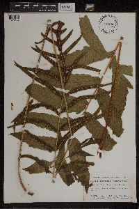 Bolbitis Schott 451080[1309753]Weatherwax, Paul 2481945-02-10 Guatemala, at ruins on Quirigua, 15.26856 -89.0402 |
MIN:Plants | 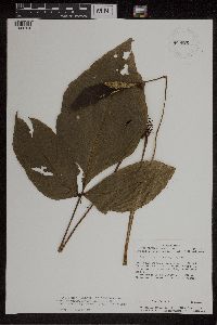 Bolbitis Schott 926026[1309754]Chacon, Abelardo 6271989-12-12 Costa Rica, Heredia, Parque Nac. Braulio Carrillo, 9.866667 -85.466667, 500m |
MIN:Plants | 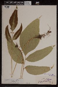 Bolbitis Schott 50617[1309755]Clute, Willard N. 2831900-03-05 Jamaica, Bath Fountain, 17.948199 -76.349161, 183m |
MIN:Plants | 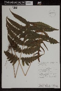 Bolbitis Schott 927921[1309756]Hammel, Barry 178051990-06-06 Costa Rica, Guanacaste, Libeeria, Parque Nacional Guanacaste, 10.5 -85.25, 700 - 900m |
MIN:Plants | 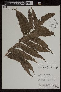 Bolbitis Schott 461546[1309757]Timana, Martin 26341991-10-16 Peru, Tambopata, Madre de Dios, Las Piedras. Cusco Amazonico. Inventario Permanente., 200m |
MIN:Plants | 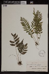 Bolbitis Schott 270121[1309758]Leland, B. 22 B1909-10-00 French Polynesia, Tahiti, Papara |
MIN:Plants | 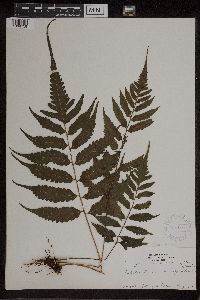 Bolbitis Schott 368189[1309759]Tilden, J.E. 4661912-08-00 French Polynesia, Tahiti |
MIN:Plants | 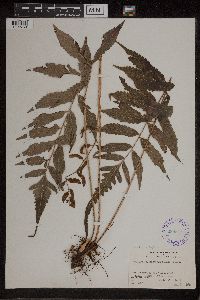 Bolbitis Schott 289847[1309760] 39671930-08-05 French Polynesia, Tahiti, Teahupoo, 21m |
MIN:Plants | 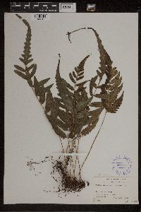 Bolbitis Schott 289848[1309761]Grant, Martin L. 35791930-05-13 French Polynesia, Tahiti, Pare, 899m |
MIN:Plants | 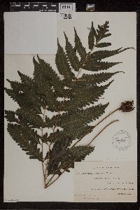 Bolbitis Schott 270221[1309762]Leland, B. 871909-10-00 French Polynesia, Tahiti, Pirae, Fautaua Valley, -17.627465 -149.452026 |
MIN:Plants | 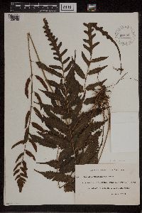 Bolbitis Schott 270222[1309763]Leland, B. 871909-10-00 French Polynesia, Tahiti, Pirae |
MIN:Plants | 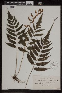 Bolbitis Schott 270945[1309764]Tilden, Josephine E. 4741912-08-12 French Polynesia, Tahiti, Papara |
MIN:Plants | 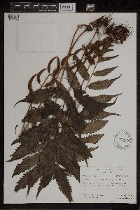 Bolbitis Schott 620289[1309765]Moore, John W. 2421926-10-25 French Polynesia, Raiatea, 3rd valley south of Faaroa Bay, -17.6327 -149.435547, 20m |
1
Page 1, records 1-13 of 13
Google Map
Google Maps is a web mapping service provided by Google that features a map that users can pan (by dragging the mouse) and zoom (by using the mouse wheel). Collection points are displayed as colored markers that when clicked on, displays the full information for that collection. When multiple species are queried (separated by semi-colons), different colored markers denote each individual species.