University of Minnesota
http://www.umn.edu/
612-625-5000
http://www.umn.edu/
612-625-5000
Minnesota Biodiversity Atlas
Bell Museum
Dataset: MIN-Plants
Taxa: Eriosema
Search Criteria: excluding cultivated/captive occurrences
1
Page 1, records 1-10 of 10
Bell Museum plants | |
 MIN:Plants | 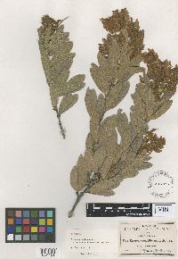 Eriosema multiflorum Robinson 137362[1001121]Pringle, C.G. 45481893-10-07 Mexico, Jalisco, Hills near Tequila, 1m |
MIN:Plants | 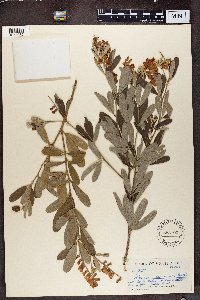 Eriosema cajanoides (Guill. & Perr.) Hook. f. 553100[1374932]James L. Sidey 32591958-05-00 South Africa, KwaZulu-Natal, Tugela Valley, N. Coast Natal |
MIN:Plants | 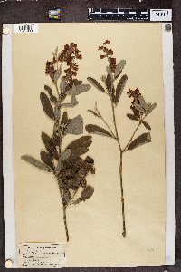 Eriosema cajanoides (Guill. & Perr.) Hook. f. 137364[1374933]C.W. Howard 31909-11-01 Mozambique |
MIN:Plants | 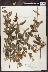 Eriosema cajanoides (Guill. & Perr.) Hook. f. 582185[1374934]Sidey, James L. 36711962-12-00 South Africa, Tugela Valley, Zululand |
MIN:Plants | 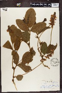 582186[1374935]James L. Sidey 36501962-10-00 South Africa, Maritzburg Dist. Natal |
MIN:Plants | 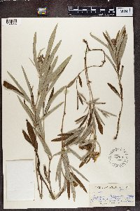 582368[1374936]James L. Sidey 34001960-01-00 South Africa, KwaZulu-Natal, Paulpietersburg, Natal. |
MIN:Plants | 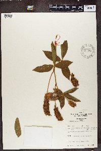 Eriosema montanum Baker f. 577830[1374937]Troupin, G. 7191959-06-14 Rwanda, Mutara region, around Mimuli, IRSAC reserve, Nteko hill, 1400 - 1450m |
MIN:Plants | 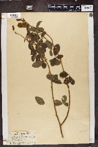 Eriosema parviflorum E. Mey. 137365[1374938]C.W. Howard 41909-11-01 Mozambique |
MIN:Plants |  Eriosema psoraloides (Lam.) G. Don 577967[1374939]Troupin, G 118331959-10-15 Rwanda, Mutara Region, Mimuli Reserve, Karukwanzi Hill, 1400 - 1450m |
MIN:Plants |  553072[1374940]Sidey, James L. 11491948-09-00 South Africa, Piet Retief Dist. E. |
1
Page 1, records 1-10 of 10
Google Map
Google Maps is a web mapping service provided by Google that features a map that users can pan (by dragging the mouse) and zoom (by using the mouse wheel). Collection points are displayed as colored markers that when clicked on, displays the full information for that collection. When multiple species are queried (separated by semi-colons), different colored markers denote each individual species.