University of Minnesota
http://www.umn.edu/
612-625-5000
http://www.umn.edu/
612-625-5000
Minnesota Biodiversity Atlas
Bell Museum
Dataset: MIN-Plants
Taxa: Lesquerella
Search Criteria: excluding cultivated/captive occurrences
1
Page 1, records 1-16 of 16
Bell Museum plants | |
 MIN:Plants | 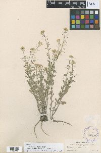 Lesquerella aurea Wooton 120076[1001554]Wooton, E.O. 2451897-07-30 United States, New Mexico, Lincoln, White Mountains, 1981m |
MIN:Plants | 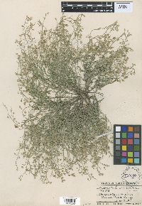 Lesquerella lunellii var. lutea A. Nelson 250550[1001555]Lunell, J. 5021911-06-03 United States, North Dakota, Rolette, Dunsieth |
MIN:Plants | 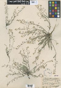 Lesquerella lunellii var. lutea A. Nelson 250551[1001556]Lunell, J. 5021909-06-05 United States, North Dakota, Ward, Minot |
MIN:Plants | 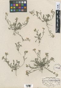 Lesquerella lunellii var. lutea A. Nelson 250552[1001557]Lunell, J. 5021906-05-02 United States, North Dakota, Williams, Williston |
MIN:Plants | 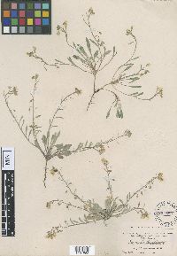 Lesquerella lunellii var. lutea A. Nelson 250553[1001558]Lunell, J. 5021908-05-29 United States, North Dakota, McHenry, Towner |
MIN:Plants | 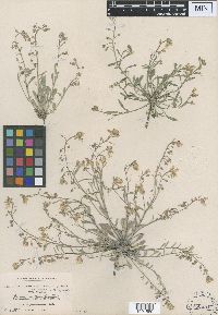 Lesquerella lunellii var. lutea A. Nelson 250554[1001559]Lunell, J. 5021908-05-29 United States, North Dakota, McHenry, Towner |
MIN:Plants | 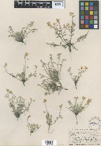 Lesquerella lunellii var. lutea A. Nelson 250558[1001560]Lunell, J. 5021911-06-03 United States, North Dakota, Rolette, Dunseith |
MIN:Plants | 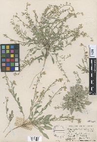 Lesquerella lunellii var. lutea A. Nelson 250559[1001561]Lunell, J. 5021911-06-03 United States, North Dakota, Rolette, Dunseith |
MIN:Plants | 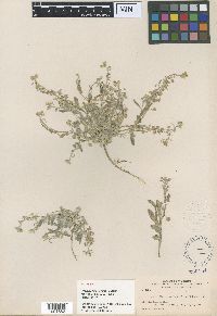 Lesquerella macrocarpa A. Nelson 250154[1001562]Nelson, A. 70811900-06-10 United States, Wyoming, Sweetwater, Bush Ranch |
MIN:Plants | 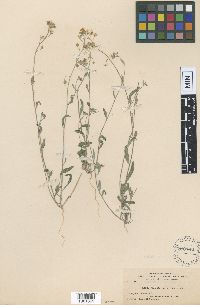 Lesquerella tenella A. Nelson 120142[1001563]Goodding, L.N. 21841905-04-08 United States, Nevada, Clark, Moapa |
MIN:Plants | 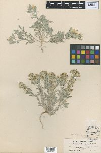 Lesquerella foliacea Greene 120090[1001572]Tracy, S.M. 80441902-05-12 United States, Texas, Howard, Big Springs |
MIN:Plants | 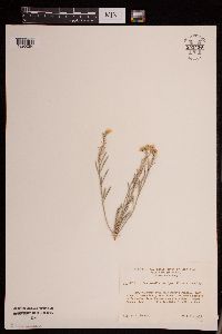 Lesquerella rectipes Wooton & Standl. 952428[1290284]Bennett, H.R. 80721962-07-21 United States, New Mexico, Santa Fe, Bandelier National Monument |
MIN:Plants | 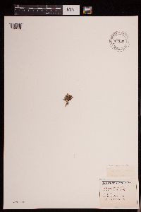 Lesquerella arctica (Wormsk. ex Hornem.) S. Watson 951097[1290448]Gerenday, A. s.n.1977-08-00 Canada, Northwest Territories, Baffin Island. |
MIN:Plants | 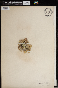 Lesquerella ovalifolia Rydb. 966061[1356821] United States, Yellowstone National Park, 44.426573 -110.467041 |
MIN:Plants | 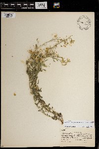 Lesquerella densiflora (A. Gray) S. Watson 0967743[1368312]S. Watts s.n.1938-03-30 United States, Texas |
MIN:Plants | Lesquerella ludoviciana (Nutt.) S. Watson 0967742[1368313] United States, New Mexico, Detailed locality information protected. This is typically done to protect rare or threatened species localities. |
1
Page 1, records 1-16 of 16
Google Map
Google Maps is a web mapping service provided by Google that features a map that users can pan (by dragging the mouse) and zoom (by using the mouse wheel). Collection points are displayed as colored markers that when clicked on, displays the full information for that collection. When multiple species are queried (separated by semi-colons), different colored markers denote each individual species.