University of Minnesota
http://www.umn.edu/
612-625-5000
http://www.umn.edu/
612-625-5000
Minnesota Biodiversity Atlas
Bell Museum
Dataset: MIN-Plants
Taxa: Mohavea
Search Criteria: excluding cultivated/captive occurrences
1
Page 1, records 1-2 of 2
Bell Museum plants | |
 MIN:Plants | Mohavea breviflora Coville 499404[]Went, F. s.n.1947-03-22 United States, California, Inyo, Furnace Creek Wash, Death Valley, Inyo Co.;Death Valley National Park |
MIN:Plants | 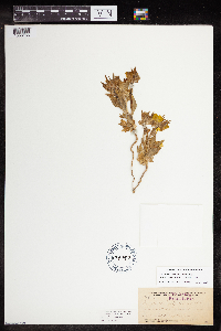 Mohavea breviflora Coville 188747[1356156]Frederick V. Coville 5471891-04-04 United States, California, Inyo, Death Valley, Panamint Mountains, 1400m |
1
Page 1, records 1-2 of 2
Google Map
Google Maps is a web mapping service provided by Google that features a map that users can pan (by dragging the mouse) and zoom (by using the mouse wheel). Collection points are displayed as colored markers that when clicked on, displays the full information for that collection. When multiple species are queried (separated by semi-colons), different colored markers denote each individual species.