University of Minnesota
http://www.umn.edu/
612-625-5000
http://www.umn.edu/
612-625-5000
Minnesota Biodiversity Atlas
Bell Museum
Dataset: MIN-Plants
Taxa: Prosopis
Search Criteria: excluding cultivated/captive occurrences
1
Page 1, records 1-5 of 5
Bell Museum plants | |
 MIN:Plants | Prosopis glandulosa Torrey 510098[]US Nat. Arboretum staff 83-791983-00-00 United States, Texas, Bexar, Bexar Co. |
MIN:Plants | 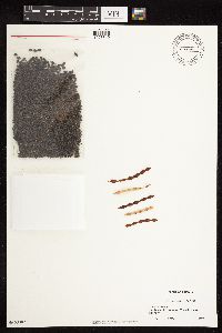 Prosopis juliflora (Swartz) de Candolle 510097[1078810]Davis, Owen AZ76-121976-00-00 United States, Arizona, Yavapai, Yavapi Co. Junction of State 179 & Interstate 17 |
MIN:Plants | 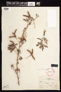 Prosopis pubescens Bentham 280910[1078811]Harris, J. Arthur C293561929-08-01 United States, Utah, Washington, 1 block W. of St. George Cemetery |
MIN:Plants | Prosopis juliflora (Swartz) de Candolle 966473[1356966]J.E. Woolsey 1925-02-00 United States, Arizona, Pima |
MIN:Plants | 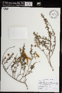 Prosopis reptans Benth. 968904[1391597]Gockman, Otto 3722015-10-08 United States, Texas, Cameron, Approximately 4.53km southwest of Port Isabel and 9.03km south- southwest of the Boca Chica Jetty., 26.041689 -97.236829 |
1
Page 1, records 1-5 of 5
Google Map
Google Maps is a web mapping service provided by Google that features a map that users can pan (by dragging the mouse) and zoom (by using the mouse wheel). Collection points are displayed as colored markers that when clicked on, displays the full information for that collection. When multiple species are queried (separated by semi-colons), different colored markers denote each individual species.