University of Minnesota
http://www.umn.edu/
612-625-5000
http://www.umn.edu/
612-625-5000
Minnesota Biodiversity Atlas
Bell Museum
Dataset: MIN-Plants
Taxa: Psoralea
Search Criteria: excluding cultivated/captive occurrences
1
Page 1, records 1-19 of 19
Bell Museum plants | |
 MIN:Plants | 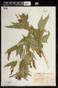 Psoralea onobrychis Nutt. 959596[1311907]Ray C. Friesner 97141936-06-25 United States, Indiana, Montgomery, Roadside-east limits of New Ross |
MIN:Plants | 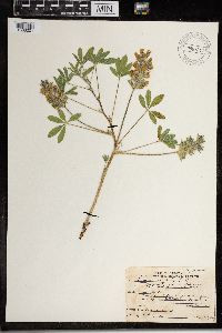 Psoralea esculenta Pursh 967647[1368201]Drew, L.A. s.n.1971-06-17 United States, Minnesota, Mahnomen, 8 miles E Mahnomen; T144N R40W sec. 5 NW NW 1/4, 47.321952 -95.780801 |
MIN:Plants | 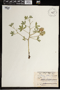 Psoralea esculenta Pursh 967646[1368202]Drew, L.A. s.n.1969-08-03 United States, Minnesota, Mahnomen, 8 miles E Mahnomen; T144N R40W sec. 5 NW NW 1/4, 47.322592 -95.781402 |
MIN:Plants | 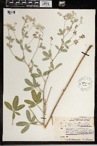 Psoralea argophylla Pursh 967645[1368203]Drew, L.A. s.n.1969-07-23 United States, Minnesota, Mahnomen, 8 miles E Mahnomen; T144N R40W sec. 5 NW 1/4 NW 1/4, 47.321225 -95.780072 |
MIN:Plants | 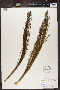 607065[1374993]Sidey, J. L. 41131968-01-00 South Africa, West Cape, Caledon District |
MIN:Plants | 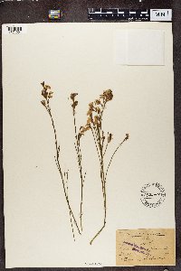 142148[1374994]Schlechter 18811892-11-26 South Africa, Yuseta riverslos |
MIN:Plants | 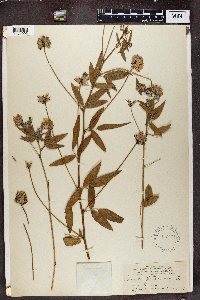 142151[1374995]Cook, Alice Carter 1691897-02-00 Spain, Gran Canaria |
MIN:Plants |  142152[1374996] s.n.1872-02-00 South Africa, rupes ad lalna montis Boschberg prope Somerset East, 1372m |
MIN:Plants |  586127[1374997]Sidey, James L. 38231963-09-00 South Africa, Bathurst Dist. E. Cape |
MIN:Plants |  137872[1374998]MacOwan, P. 971897-11-00 South Africa, Diavoli |
MIN:Plants | 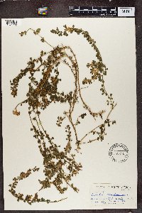 586231[1374999]James L. Sidey 38081963-09-00 South Africa, Dist. E. Cape |
MIN:Plants |  553104[1375000]Sidey, James L. 31281957-01-00 South Africa, Zuurberg Mountains, E. Cape |
MIN:Plants | 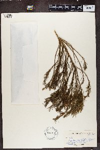 607093[1370001]James L. Sidey 41161968-01-00 South Africa, W. Cape |
MIN:Plants | 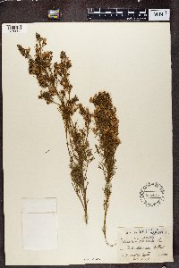 568425[1370002]Medly Wood s.n.1892-04-29 South Africa, near Bothaville, 2000m |
MIN:Plants | 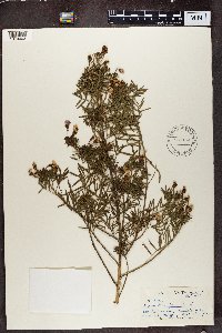 586154[1370003]James L. Sidey 37561963-09-00 South Africa, Katberg Pass, Amatola Mtns. |
MIN:Plants | 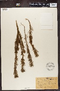 142341[1370004]Schlechter 4871892-03-23 South Africa, Cape flats by Claremont |
MIN:Plants | 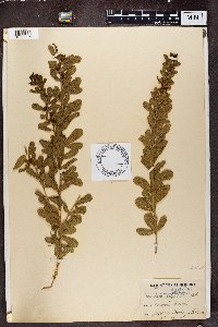 142342[1370005]Medly Wood s.n.1891-04-22 South Africa, 3000 - 4000m |
MIN:Plants | 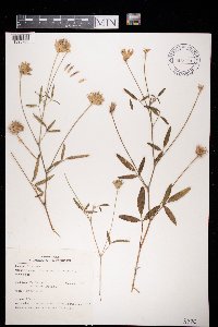 972030[1395765]Janssens, J. 2381974-07-21 France, Provence, 250m |
MIN:Plants | 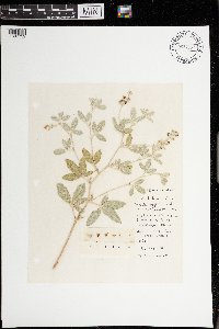 Psoralea argophylla Pursh [1397759]Messerschmidt, W. s.n.1979-07-19 United States, North Dakota, Morton, 5.12 km west of New Salem, road to old farmstead near route 139 |
1
Page 1, records 1-19 of 19
Google Map
Google Maps is a web mapping service provided by Google that features a map that users can pan (by dragging the mouse) and zoom (by using the mouse wheel). Collection points are displayed as colored markers that when clicked on, displays the full information for that collection. When multiple species are queried (separated by semi-colons), different colored markers denote each individual species.