University of Minnesota
http://www.umn.edu/
612-625-5000
http://www.umn.edu/
612-625-5000
Minnesota Biodiversity Atlas
Bell Museum
Dataset: MIN-Plants
Taxa: Tectaria
Search Criteria: excluding cultivated/captive occurrences
1
Page 1, records 1-65 of 65
Bell Museum plants | |
 MIN:Plants |  Tectaria fimbriata Willd. 377620[1372702] |
MIN:Plants |  Tectaria fimbriata Willd. 290433[1372703] United States, Florida |
MIN:Plants |  Tectaria fimbriata Willd. 260957[1372704] United States, Florida |
MIN:Plants |  Tectaria heracleifolia (Willdenow) L. Underwood 52687[1372705] United States, Florida |
MIN:Plants |  Tectaria heracleifolia (Willdenow) L. Underwood 260956[1372706] United States, Florida |
MIN:Plants |  Tectaria heracleifolia (Willdenow) L. Underwood 52686[1372707] |
MIN:Plants |  Tectaria heracleifolia (Willdenow) L. Underwood 411657[1372708] United States, Florida |
MIN:Plants |  Tectaria heracleifolia (Willdenow) L. Underwood 52688[1372709] United States, Florida |
MIN:Plants |  52087[1372710] Jamaica |
MIN:Plants |  220430[1372711] Dominica |
MIN:Plants |  346882[1372712] Cuba |
MIN:Plants |  54078[1372713] Cuba |
MIN:Plants |  52061[1372714] Jamaica |
MIN:Plants |  279969[1372715] Mexico |
MIN:Plants |  294637[1372716] Honduras |
MIN:Plants |  294286[1372717] Honduras |
MIN:Plants |  294289[1372718] Honduras |
MIN:Plants |  296859[1372719] Mexico |
MIN:Plants |  Tectaria heracleifolia (Willdenow) L. Underwood 294650[1372720] Honduras |
MIN:Plants |  Tectaria heracleifolia (Willdenow) L. Underwood 346883[1372721] Cuba |
MIN:Plants |  Tectaria heracleifolia (Willdenow) L. Underwood 500174[1372722] Cuba |
MIN:Plants |  54089[1372723] India |
MIN:Plants |  54080[1372724] India |
MIN:Plants |  357699[1372725] Cuba |
MIN:Plants |  Tectaria heracleifolia (Willdenow) L. Underwood 500371[1372726] Cuba |
MIN:Plants |  Tectaria heracleifolia (Willdenow) L. Underwood 294649[1372727] Honduras |
MIN:Plants |  Tectaria heracleifolia (Willdenow) L. Underwood 220497[1372728] Puerto Rico |
MIN:Plants |  220528[1372729] Puerto Rico |
MIN:Plants |  357698[1372730] Cuba |
MIN:Plants |  Tectaria martinicensis (Spreng.) Copel. 52262[1372731] Jamaica |
MIN:Plants |  54079[1372732] Cuba |
MIN:Plants | 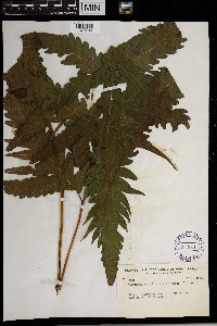 Tectaria martinicensis (Spreng.) Copel. 294284[1372733] Honduras |
MIN:Plants | 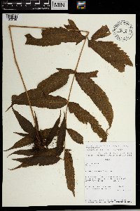 515441[1372735] Peru |
MIN:Plants | 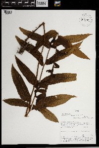 937350[1372736] Peru |
MIN:Plants | 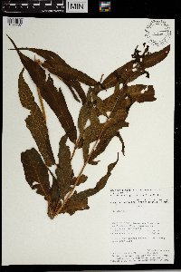 461532[1372737] Peru |
MIN:Plants |  Tectaria decurrens (C. Presl) Copel. 289933[1372738] French Polynesia |
MIN:Plants |  Tectaria decurrens (C. Presl) Copel. 290056[1372739] French Polynesia |
MIN:Plants |  Tectaria decurrens (C. Presl) Copel. 52162[1372740] Samoa |
MIN:Plants |  Tectaria decurrens (C. Presl) Copel. 220498[1372741] Philippines |
MIN:Plants | 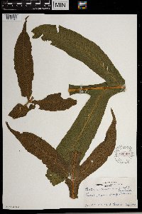 Tectaria decurrens (C. Presl) Copel. 270966[1372742] French Polynesia |
MIN:Plants | 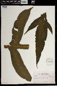 Tectaria decurrens (C. Presl) Copel. 270967[1372743] French Polynesia |
MIN:Plants | 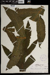 Tectaria decurrens (C. Presl) Copel. 368175[1372744] French Polynesia |
MIN:Plants | 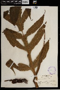 Tectaria decurrens (C. Presl) Copel. 289934[1372745] French Polynesia |
MIN:Plants | 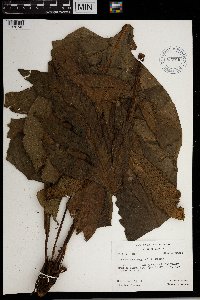 Tectaria decurrens (C. Presl) Copel. 620740[1372746] French Polynesia |
MIN:Plants | 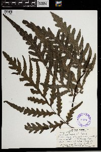 386302[1372747] Fiji |
MIN:Plants | 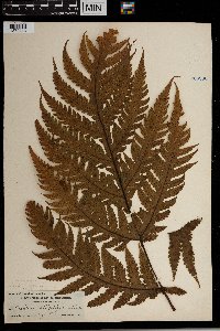 268066[1372748] United States, Hawaii |
MIN:Plants | 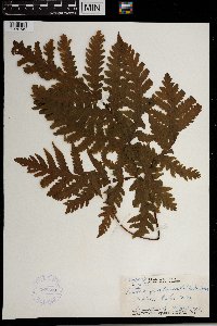 368509[1372749] United States, Hawaii |
MIN:Plants |  417854[1372750] United States, Hawaii |
MIN:Plants |  417853[1372751] United States, Hawaii |
MIN:Plants |  52086[1372752] United States, Hawaii |
MIN:Plants |  354014[1372753] United States, Hawaii |
MIN:Plants |  284933[1372754] United States, Hawaii |
MIN:Plants |  357762[1372755] United States, Hawaii |
MIN:Plants |  357763[1372756] United States, Hawaii |
MIN:Plants |  271145[1372757] French Polynesia |
MIN:Plants |  272893[1372758] French Polynesia |
MIN:Plants |  289930[1372759] French Polynesia |
MIN:Plants |  620343[1372760] French Polynesia |
MIN:Plants |  620073[1372761] French Polynesia |
MIN:Plants | 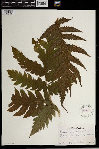 270973[1372762] French Polynesia |
MIN:Plants | 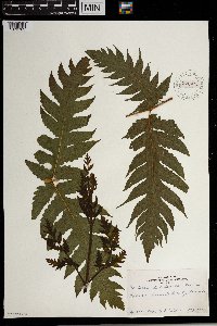 270974[1372763] French Polynesia |
MIN:Plants | 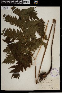 28993[1372764] French Polynesia |
MIN:Plants | 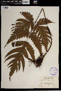 289932[1372765] French Polynesia |
MIN:Plants |  620380[1372766] French Polynesia |
MIN:Plants |  Tectaria martinicensis (Spreng.) Copel. 970169[1372734] Panama |
1
Page 1, records 1-65 of 65
Google Map
Google Maps is a web mapping service provided by Google that features a map that users can pan (by dragging the mouse) and zoom (by using the mouse wheel). Collection points are displayed as colored markers that when clicked on, displays the full information for that collection. When multiple species are queried (separated by semi-colons), different colored markers denote each individual species.