University of Minnesota
http://www.umn.edu/
612-625-5000
http://www.umn.edu/
612-625-5000
Minnesota Biodiversity Atlas
Bell Museum
Dataset: MIN-Plants
Taxa: Torreya
Search Criteria: excluding cultivated/captive occurrences
1
Page 1, records 1-5 of 5
Bell Museum plants | |
 MIN:Plants | Torreya californica Torrey 357717[]Ericson, Mildred s.n.1939-06-29 United States, California, Arch Rock Ranger Station, Yosemite National Park;Yosemite National Park, 1219m |
MIN:Plants | Torreya californica Torrey 240279[]Congdon, J. s.n.1883-06-00 United States, California, Mariposa, Yosemite Trail, Mariposa County;Yosemite National Park |
MIN:Plants | Torreya californica Torrey 55871[]Clark, Galen s.n.1896-05-29 United States, California, Yosemite;Yosemite National Park |
MIN:Plants | Torreya californica Torrey 523668[]Cooper, William Eh71904-08-00 United States, California, Yosemite Valley;Yosemite National Park |
MIN:Plants | 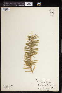 Torreya californica Torrey 861857[1340362] United States, California |
1
Page 1, records 1-5 of 5
Google Map
Google Maps is a web mapping service provided by Google that features a map that users can pan (by dragging the mouse) and zoom (by using the mouse wheel). Collection points are displayed as colored markers that when clicked on, displays the full information for that collection. When multiple species are queried (separated by semi-colons), different colored markers denote each individual species.