University of Minnesota
http://www.umn.edu/
612-625-5000
http://www.umn.edu/
612-625-5000
Minnesota Biodiversity Atlas
Bell Museum
Dataset: MIN-Lichens
Taxa: Anisomeridium
Search Criteria: excluding cultivated/captive occurrences
Bell Museum lichens | |
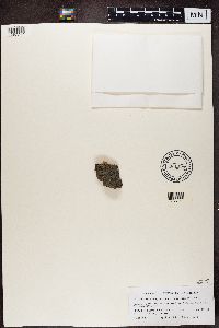
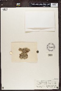
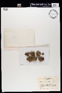
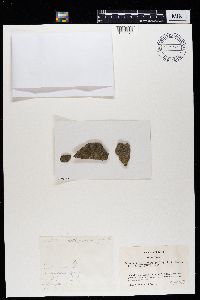
MIN:Lichens | Anisomeridium nyssaegenum (Ellis & Everh.) R.C. Harris 880203[]Wetmore, C. 895782003-08-05 United States, Michigan, Gogebic, Sucker Lake Road Nw of Watersmeet; Ottawa National Forest, 46.35583333 -89.39222222 |
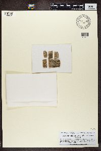
MIN:Lichens | Anisomeridium nyssaegenum (Ellis & Everh.) R.C. Harris 880294[]Wetmore, C. 893642003-08-03 United States, Michigan, Gogebic, Bobcat Lake 2 Mi Se of Marenisco; Ottawa National Forest, 46.36138889 -89.66666667 |
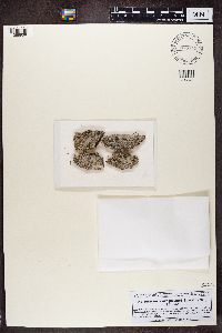
MIN:Lichens | Anisomeridium biforme (Borrer) R.C. Harris 883019[]Wetmore, C. 910542004-07-13 United States, Michigan, Iron, 3 Mi W of Golden Lake; Ottawa National Forest, 46.17444444 -88.94944444 |
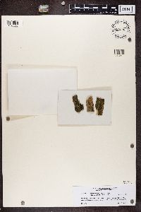
MIN:Lichens | Anisomeridium polypori (Ellis & Everh.) M.E. Barr 885451[]Lendemer, J. 29812004-09-18 United States, New York, Essex, Winch Pond Trail; Sentinal Ridge Wilderness Area, 44.33527778 -73.89972222 |
MIN:Lichens | Anisomeridium polypori (Ellis & Everh.) M.E. Barr 888913[]Lendemer, J. 39122005-04-18 United States, New Jersey, Burlington, 2.8 km Se of Batsto, 39.62666667 -74.62583333 |
MIN:Lichens | Anisomeridium biforme (Borrer) R.C. Harris 891416[]Tucker, S. 364421999-03-03 United States, California, Santa Barbara, Lotusland Estate Montecito, 34.443 -119.6572 |
MIN:Lichens | Anisomeridium polypori (Ellis & Everh.) M.E. Barr 917602[]Lendemer, J.C. 136692008-07-21 United States, Pennsylvania, Wyoming, Henry Lott Rd, 2 Mi S of Jct W/ Sr 3001, 2 Mi Sw of Kasson Brook; State Game Lands No. 57, 41.44583333 -76.14583333 |
MIN:Lichens | Anisomeridium polypori (Ellis & Everh.) M.E. Barr 917630[]Lendemer, J.C. 152922009-02-04 United States, New Jersey, Gloucester, Carpenter Rd, 0-0.75 Mi W of Jct W/ Cr 655 (Fries Mill Rd); Glassboro Wildlife Management Area, 39.675 -75.05833333 |
MIN:Lichens | Anisomeridium polypori (Ellis & Everh.) M.E. Barr 917724[]Harris, R.C. 552062009-05-18 United States, Pennsylvania, Bradford, Erville Rd, 2 Mi S of Confluence of Shrader Creek And E Shore Sugar Run; State Game Lands No. 12, 41.77222222 -76.64166667 |
MIN:Lichens | Anisomeridium nyssaegenum (Ellis & Everh.) R.C. Harris 831527[1387747]Moberg, R. Estonia, Saaremaa |
MIN:Lichens | Anisomeridium polypori (Ellis & Everh.) M.E. Barr 871857[1388926]Hafellner, J. Austria, Styria, Steiermark |
MIN:Lichens | Anisomeridium polypori (Ellis & Everh.) M.E. Barr 876742[1388938]Hafellner, J. Austria, Styria, Steiermark |
MIN:Lichens | Anisomeridium nyssaegenum (Ellis & Everh.) R.C. Harris 822526[1390522]Poelt, J. Austria, Styria, Steiermark |
MIN:Lichens | Anisomeridium biforme (Borrer) R.C. Harris 777424[1374024]Harris, R.C. United States, Michigan, Oakland |
MIN:Lichens | Anisomeridium quadrococcum R.C. Harris 971787[1396265]Wetmore, Clifford M. 643571989-11-15 United States, Georgia, Charlton, Okefenokee National Wildlife Refuge. Chesser Island on west side of swamp near deer field stand. |
MIN:Lichens | Anisomeridium distans (Willey) R.C. Harris 971794[1396272]Wetmore, Cliff M. 540831985-07-13 United States, Ohio, Summit, Cuyahoga Valley National Recreation Area. Deep Lock Quarry at S edge of Peninsula. |
Google Map
Google Maps is a web mapping service provided by Google that features a map that users can pan (by dragging the mouse) and zoom (by using the mouse wheel). Collection points are displayed as colored markers that when clicked on, displays the full information for that collection. When multiple species are queried (separated by semi-colons), different colored markers denote each individual species.
