University of Minnesota
http://www.umn.edu/
612-625-5000
http://www.umn.edu/
612-625-5000
Minnesota Biodiversity Atlas
Bell Museum
Dataset: MIN-Lichens
Taxa: Fellhanera
Search Criteria: excluding cultivated/captive occurrences
1
Page 1, records 1-17 of 17
Bell Museum lichens | |
 MIN:Lichens | Fellhanera floridana (Tuck.) S. Ekman 001836[]Rapp, S. s.n.1911-06-00 United States, Florida, Seminole, Sanford |
MIN:Lichens | Fellhanera floridana (Tuck.) S. Ekman 002833[]Rapp, S. 81914-05-14 United States, Florida, Seminole, Sanford |
MIN:Lichens | 665424[] s.n. Austria |
MIN:Lichens | 688525[]Almborn, O. s.n.1959-06-15 Sweden, Skane, Dalby, Sjostorjn |
MIN:Lichens | 704212[]Tucker, S. 174201978-03-16 United States, Louisiana, East Baton Rouge, Baton Rouge, Essen Lane, 30.4083333 -91.1125 |
MIN:Lichens | 756592[]Thrower, S. 24511976-02-03 China, Hong Kong, Tai Po Kau Forest office |
MIN:Lichens | 825919[]Tucker, S. 323431993-02-09 United States, Louisiana, East Baton Rouge, Bluebonnet Swamp, Baton Rouge, 30.368428 -91.107126 |
MIN:Lichens | Fellhanera silicis R.C. Harris & Ladd 877795[]Wetmore, C. 856862001-05-18 United States, Arkansas, Garland, Nw of West Mt. Overlook; Hot Springs National Park, 34.50888889 -93.06777778 |
MIN:Lichens | 891277[]McCune, B. 256952000-10-00 United States, Oregon, Lane, Cascade Mountains, Gate Creek, 44.15 -122.55 |
MIN:Lichens | 895593[]Wetmore, C. 702901992-07-05 Austria, Styria, Stainz, 5 km Wnw of |
MIN:Lichens | 895594[]Wetmore, C. 702891992-07-05 Austria, Styria, Stainz, 5 km Wnw of |
MIN:Lichens |  Fellhanera buxi (Vezda & Vivant) Vezda [1298547]Clifford M Wetmore 702921992-07-05 Austria, Styria, Stainz, 5 Km Wnw of |
MIN:Lichens | 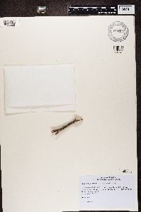 918351[1358993]Czarnota, P. Poland |
MIN:Lichens | 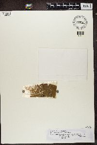 Fellhanera aurantiaca (Vezda) Vezda 855036[1365194]Kalb, K. Brazil, Sao Paulo |
MIN:Lichens | 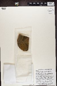 Fellhanera crucitignorum C.A. Morse & Ladd 939215[1387127]Morse, C. United States, Kansas, Woodson |
MIN:Lichens | 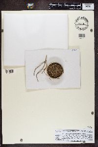 913399[1389114]Hafellner, J. Austria, Styria, Steiermark |
MIN:Lichens | 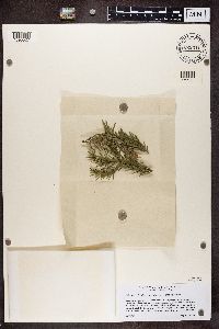 822511[1390527]Grube Austria, Styria, Steiermark |
1
Page 1, records 1-17 of 17
Google Map
Google Maps is a web mapping service provided by Google that features a map that users can pan (by dragging the mouse) and zoom (by using the mouse wheel). Collection points are displayed as colored markers that when clicked on, displays the full information for that collection. When multiple species are queried (separated by semi-colons), different colored markers denote each individual species.