University of Minnesota
http://www.umn.edu/
612-625-5000
http://www.umn.edu/
612-625-5000
Minnesota Biodiversity Atlas
Bell Museum
Dataset: MIN-Lichens
Taxa: Myriangiaceae
Search Criteria: excluding cultivated/captive occurrences
1
Page 1, records 1-8 of 8
Bell Museum lichens | |
 MIN:Lichens | Myriangium duriaei Mont. & Berk. 025457[]Calkins, W. 112 United States, Tennessee |
MIN:Lichens | Myriangium duriaei Mont. & Berk. 025459[]Langlois, A. s.n.1895-00-00 United States, Louisiana, Saint Martin, St. Martinville |
MIN:Lichens | Myriangium duriaei Mont. & Berk. 025460[]Calkins, W. 112 United States, Tennessee, Lookout Mt. |
MIN:Lichens | Myriangium duriaei Mont. & Berk. 661056[]Curtis s.n. United States, South Carolina |
MIN:Lichens | 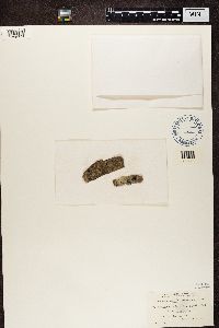 Myriangium duriaei Mont. & Berk. 25458[1358797]Green, H. United States, New Jersey |
MIN:Lichens | 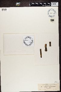 Myriangium duriaei Mont. & Berk. 14513[1360215]Dearness Canada, Ontario |
MIN:Lichens | 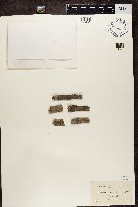 Myriangium duriaei Mont. & Berk. 14515[1363025]Hasse, H.E. United States, California |
MIN:Lichens | 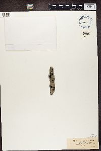 Myriangium duriaei Mont. & Berk. 14514[1387305]Rapp United States, Florida |
1
Page 1, records 1-8 of 8
Google Map
Google Maps is a web mapping service provided by Google that features a map that users can pan (by dragging the mouse) and zoom (by using the mouse wheel). Collection points are displayed as colored markers that when clicked on, displays the full information for that collection. When multiple species are queried (separated by semi-colons), different colored markers denote each individual species.