University of Minnesota
http://www.umn.edu/
612-625-5000
http://www.umn.edu/
612-625-5000
Minnesota Biodiversity Atlas
Bell Museum
Dataset: MIN-Lichens
Taxa: Segestria
Search Criteria: excluding cultivated/captive occurrences
1
Page 1, records 1-5 of 5
Bell Museum lichens | |
 MIN:Lichens | Segestria leptalea (Durieu & Mont.) R.C. Harris 888936[]Lendemer, J. 40182005-04-21 United States, Pennsylvania, Monroe, Palen Swamp; Tobyhanna State Park, 41.22388889 -75.37583333 |
MIN:Lichens | 917378[]Lendemer, J.C. 126452008-07-06 United States, Pennsylvania, Wayne, Lacawac Sanctuary; Above Wallenpaupack Ledges, 41.38333333 -75.28333333 |
MIN:Lichens | 918450[]Lendemer, J.C. 138682008-07-23 United States, Pennsylvania, Wyoming, Summit of Barlett Mtn, 2.4 Mi W of Forkston; State Game Lands No. 57, 41.51388889 -76.15277778 |
MIN:Lichens | 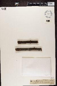 Segestria sphaeroides (Wallr.) Zwackh 15412[1357892]Schnabl Germany, Lower Saxony |
MIN:Lichens | 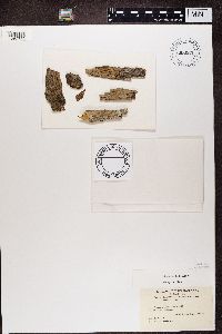 Segestria nucula (Ach.) Hellb. 658655[1362765]Ravenel United States, South Carolina |
1
Page 1, records 1-5 of 5
Google Map
Google Maps is a web mapping service provided by Google that features a map that users can pan (by dragging the mouse) and zoom (by using the mouse wheel). Collection points are displayed as colored markers that when clicked on, displays the full information for that collection. When multiple species are queried (separated by semi-colons), different colored markers denote each individual species.