University of Minnesota
http://www.umn.edu/
612-625-5000
http://www.umn.edu/
612-625-5000
Minnesota Biodiversity Atlas
Bell Museum
Dataset: MIN-Lichens
Taxa: Variolaria
Search Criteria: excluding cultivated/captive occurrences
1
Page 1, records 1-10 of 10
Bell Museum lichens | |
 MIN:Lichens | Variolaria pustulata (Brodo & W. L. Culb.) Lendemer, Hodkinson & R. C. Harris 917484[]Lendemer, J.C. 177822009-05-21 United States, Pennsylvania, Pike, Buckhorn Mt, Above Decker Creek 2.5 Mi N of Us 6; State Game Lands No. 183, 41.44583333 -75.13111111 |
MIN:Lichens | Variolaria pustulata (Brodo & W. L. Culb.) Lendemer, Hodkinson & R. C. Harris 917562[]Lendemer, J.C. 176032009-05-20 United States, Pennsylvania, Columbia, E of Pa 42, 1.5 Mi N of Artises; Weiser State Forest, 40.83194444 -76.33472222 |
MIN:Lichens | Variolaria pustulata (Brodo & W. L. Culb.) Lendemer, Hodkinson & R. C. Harris 917705[]Buck, W.R. 555682009-09-19 United States, Connecticut, Windham, Cat Den Swamp, Along Fayette Road; Natchaug State Forest, 41.84138889 -72.05388889 |
MIN:Lichens | Variolaria amara Ach. 917707[]Buck, W.R. 549642009-05-30 United States, Maine, Knox, Vinalhaven Huber Preserve, 44.07527778 -68.81 |
MIN:Lichens |  Variolaria ophthalmiza (Nyl.) Darb. 21134[1357721]Arnold Czech Republic, Bohemia |
MIN:Lichens | 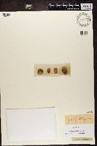 Variolaria westringii (Lilj.) Wahlenb. 880544[1361022]Fries, E.M. Sweden |
MIN:Lichens | Variolaria amara Ach. 826272[1361205]Almquist Sweden, Uppland |
MIN:Lichens | 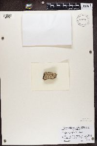 935718[1366249]Harris, R.C. United States, Florida, Marion |
MIN:Lichens | 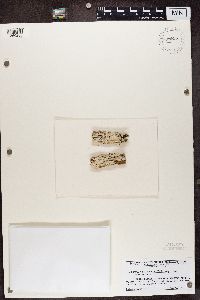 935725[1366256]Harris, R.C. United States, Florida, Marion |
MIN:Lichens | 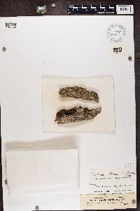 Variolaria globulifera Turner 16394[1387620]Jaap Germany |
1
Page 1, records 1-10 of 10
Google Map
Google Maps is a web mapping service provided by Google that features a map that users can pan (by dragging the mouse) and zoom (by using the mouse wheel). Collection points are displayed as colored markers that when clicked on, displays the full information for that collection. When multiple species are queried (separated by semi-colons), different colored markers denote each individual species.