University of Minnesota
http://www.umn.edu/
612-625-5000
http://www.umn.edu/
612-625-5000
Minnesota Biodiversity Atlas
Bell Museum
Dataset: DUL-
Taxa: Menispermaceae
Search Criteria: excluding cultivated/captive occurrences
1
Page 1, records 1-9 of 9
Olga Lakela Herbarium, University of Minnesota Duluth | |
 DUL | 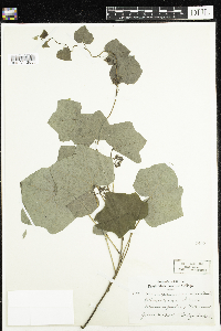 2402[DUL-V-12553]Lakela, Olga 8531934-06-03 United States, Minnesota, Hennepin |
DUL | 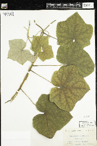 15399[DUL-V-12556]Chase, Virginius H. 115781950-09-13 United States, Illinois, Peoria |
DUL | 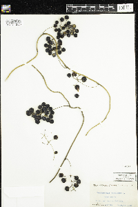 15400[DUL-V-12557+]Chase, Virginius H. 115781950-09-13 United States, Illinois, Peoria |
DUL | 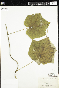 15416[DUL-V-12558]Chase, Virginius H. 115781950-09-13 United States, Illinois, Peoria |
DUL | 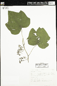 38257[DUL-V-12555]Lustig, Karen 5591979-06-27 United States, Minnesota, Sherburne, T32N R26/27N; T121N R23W R24W |
DUL | 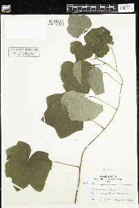 40894[DUL-V-12554]Lakela, Olga 8531934-06-03 United States, Minnesota, Hennepin |
DUL | 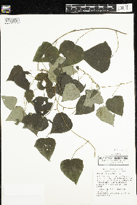 40895[DUL-V-12559]Huber, J. 106491981-07-30 United States, Missouri, Carter, T25N R1E NE¼ SW¼ SW¼ S15 |
DUL | 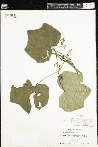 44190[DUL-V-12560]Koch, Rudy G. 33921967-05-07 United States, Oklahoma, Caddo |
DUL |  Cocculus carolinus (L.) DC. 15268[DUL-V-12552]Chase, Virginius H. 98981948-07-20 United States, Arkansas, Garland |
1
Page 1, records 1-9 of 9
Google Map
Google Maps is a web mapping service provided by Google that features a map that users can pan (by dragging the mouse) and zoom (by using the mouse wheel). Collection points are displayed as colored markers that when clicked on, displays the full information for that collection. When multiple species are queried (separated by semi-colons), different colored markers denote each individual species.