University of Minnesota
http://www.umn.edu/
612-625-5000
http://www.umn.edu/
612-625-5000
Minnesota Biodiversity Atlas
Bell Museum
Dataset: MIN-Fungi
Taxa: Boliniaceae
Search Criteria: excluding cultivated/captive occurrences
1
Page 1, records 1-6 of 6
Bell Museum fungi | |
 MIN:Fungi | 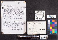 860377[1178402]J. Sogaard 1998-08-18 United States, Minnesota, Hennepin, Wolsfeld Woods Scientific and Natural Area, 45.001621 -93.567981 |
MIN:Fungi | 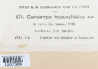 Camarops hypoxyloides P. Karst. 474780[1207389]Serebrianikow 2781911-08-00 |
MIN:Fungi | 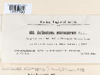 Camarops microspora (P. Karst.) Shear 465821[1207390]Jaap, O. 6841913-07-29 |
MIN:Fungi | 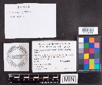 Camarops petersii (Berk. & M.A. Curtis) Nannf. 925891[1178401]Healy, R. RH12762011-08-09 United States, Minnesota, Chisago, Wild River State Park, Windfall Trail, 45.522029 -92.738213 |
MIN:Fungi | 969218[1301571]D. Mahoney 2011-08-10 United States, Minnesota, Lake, Flash Lake portage between Snowbank & Flash Lakes, 47.982978 -91.465502 |
MIN:Fungi | 969219[1301572]D. Mahoney 2011-08-08 United States, Minnesota, Lake, South West Snowbank Lake, near #3 summer lease lot, 47.982978 -91.465502 |
1
Page 1, records 1-6 of 6
Google Map
Google Maps is a web mapping service provided by Google that features a map that users can pan (by dragging the mouse) and zoom (by using the mouse wheel). Collection points are displayed as colored markers that when clicked on, displays the full information for that collection. When multiple species are queried (separated by semi-colons), different colored markers denote each individual species.