University of Minnesota
http://www.umn.edu/
612-625-5000
http://www.umn.edu/
612-625-5000
Minnesota Biodiversity Atlas
Bell Museum
Dataset: MIN-Fungi
Taxa: Chaetosphaeriaceae
Search Criteria: excluding cultivated/captive occurrences
1
Page 1, records 1-16 of 16
Bell Museum fungi | |
 MIN:Fungi | 0974523[1396887]Dan Mahoney s.n.2014-07-20 United States, Minnesota, Lake, Behind cabin #6 of the US Forest Service lease lot group, Snowbank Lake, 47.985972 -91.418634 |
MIN:Fungi | 0974535[1396899]Dan Mahoney s.n.2012-08-04 United States |
MIN:Fungi | 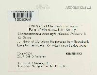 Chaetosphaeria decastyla (Cooke) Réblová & W. Gams 881993[1208368]Bell, A. 2004-06-30 United States, Minnesota, Lake, North of Ely, along the portage from Snowbank Lake to Flash Lake, 47.982978 -91.465502 |
MIN:Fungi |  Chaetosphaeria ellisii (M.E. Barr) Huhndorf & F.A. Fernández 974534[1396898]Ann Bell s.n.2012-08-02 United States, Minnesota, Lake, Along the path to the Snowbank Trail behind cabin #4 in the USDA Forest Service Summer lease lot group on Snowbank Lake, 22 miles northeast of Ely |
MIN:Fungi | 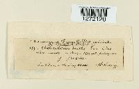 Chaetosphaeria exilis (Schwein.) Sacc. [1272120] |
MIN:Fungi |  Chaetosphaeria fusca Fuckel [1272119] |
MIN:Fungi | 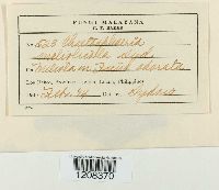 Chaetosphaeria meliolicola Syd. & P. Syd. 924671[1208370]Sydow 523 |
MIN:Fungi | 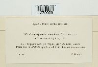 Chaetosphaeria meliolicola Syd. & P. Syd. 924672[1270999] Philippines |
MIN:Fungi | 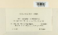 Chaetosphaeria meliolicola Syd. & P. Syd. 924670[1272121] |
MIN:Fungi | 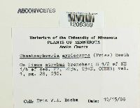 Chaetosphaeria myriocarpa (Fr.) C. Booth 800869[1208369]Boehm, Eric W.A. 1986-10-15 United States, Minnesota, Anoka, Cedar Creek Natural History Area; S 1/2 of NE 1/4 of sec. 27, R23W, T34N, 45.40689 -93.193759 |
MIN:Fungi | 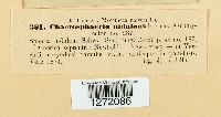 Chaetosphaeria nidulans (Schwein.) Rehm [1272086] |
MIN:Fungi | 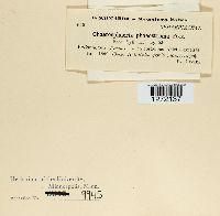 Chaetosphaeria phaeostroma (Durieu & Mont.) Fuckel [1272137] |
MIN:Fungi | 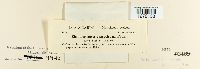 Chaetosphaeria phaeostroma (Durieu & Mont.) Fuckel [1272138] |
MIN:Fungi | 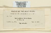 Sporoschisma tracyi Earle 46354[1270785] |
MIN:Fungi |  Zignoëlla aterrima (Fuckel) Sacc. 47420[1217437]Kirschstein, W. 17151906-10-00 Germany, Stadtforst |
MIN:Fungi |  Zignoëlla abietis Höhn. 47421[1278276] |
1
Page 1, records 1-16 of 16
Google Map
Google Maps is a web mapping service provided by Google that features a map that users can pan (by dragging the mouse) and zoom (by using the mouse wheel). Collection points are displayed as colored markers that when clicked on, displays the full information for that collection. When multiple species are queried (separated by semi-colons), different colored markers denote each individual species.