University of Minnesota
http://www.umn.edu/
612-625-5000
http://www.umn.edu/
612-625-5000
Minnesota Biodiversity Atlas
Bell Museum
Dataset: MIN-Fungi
Taxa: Elsinoaceae
Search Criteria: excluding cultivated/captive occurrences
1
Page 1, records 1-15 of 15
Bell Museum fungi | |
 MIN:Fungi | 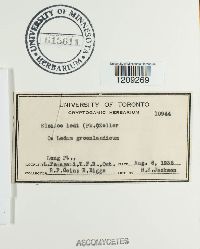 615611[1209269]Cain, R.F. 109441936-08-06 Canada, Ontario, Long pt, L. Temagami, T.F.R. |
MIN:Fungi |  615612[1209270]Cain, R.F. 431011965-08-03 Canada, Ontario, John's Creek |
MIN:Fungi | 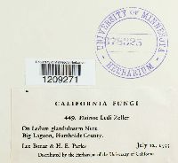 378325[1209271]Bonar, L. 4491933-07-12 United States, California, Humboldt, Big Lagoon |
MIN:Fungi |  473532[1213748]Dosdall, L. United States, Minnesota, Ramsey, University Farm [St. Paul; Univerisity of Minnesota]; near P.P. Field House, 44.991948 -93.175821 |
MIN:Fungi |  474852[1213749]Dosdall, L. 1942-06-17 United States, Minnesota, Ramsey, St. Paul, University Farm, 44.991948 -93.175821 |
MIN:Fungi |  474830[1213750]Dosdall, L. 1944-06-08 United States, Minnesota, Ramsey, University Farm [St. Paul]; near Field House, 44.991948 -93.175821 |
MIN:Fungi |  474853[1213751]Dosdall, L. 1944-06-08 United States, Minnesota, Ramsey, University Farm [St. Paul]; near Field House, 44.991948 -93.175821 |
MIN:Fungi |  Plectodiscella veneta Burkh. 154995[1178553]E. Horn s.n.1919-07-28 United States, Minnesota, Carlton, Cloquet |
MIN:Fungi |  Plectodiscella veneta Burkh. 498689[1178554]J.J. Christensen 1919-06-06 United States, Minnesota, McLeod, Hutchinson, 44.882672 -94.379053 |
MIN:Fungi |  Plectodiscella veneta Burkh. 498775[1178555]E. Horn s.n.1919-07-28 United States, Minnesota, Carlton, Cloquet |
MIN:Fungi |  Sphaceloma symphoricarpi Barrus & Horsfall 474899[1213752]Taylor, Lee M. 42281940-08-20 United States, Minnesota, Saint Louis, Duluth, 46.772985 -92.117376 |
MIN:Fungi | 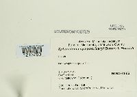 Sphaceloma symphoricarpi Barrus & Horsfall 474866[1213753]Poleman, Milton W. s.n.1940-10-04 United States, Minnesota, Saint Louis, Duluth |
MIN:Fungi | 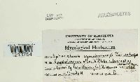 Sphaceloma symphoricarpi Barrus & Horsfall 474867[1213754]Dosdall, L. |
MIN:Fungi | 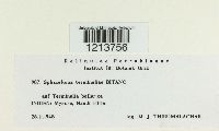 Sphaceloma terminaliae Bitanc. 819083[1213756]Thirumalachar, M.J. 9871948-11-28 |
MIN:Fungi |  Stephanotheca sydowii Petr. 614954[1278263] |
1
Page 1, records 1-15 of 15
Google Map
Google Maps is a web mapping service provided by Google that features a map that users can pan (by dragging the mouse) and zoom (by using the mouse wheel). Collection points are displayed as colored markers that when clicked on, displays the full information for that collection. When multiple species are queried (separated by semi-colons), different colored markers denote each individual species.