University of Minnesota
http://www.umn.edu/
612-625-5000
http://www.umn.edu/
612-625-5000
Minnesota Biodiversity Atlas
Bell Museum
Dataset: MIN-Bryophytes
Search Criteria: Austria; Oberösterreich; excluding cultivated/captive occurrences
1
Page 1, records 1-6 of 6
Bell Museum bryophytes | |
 MIN:Bryophytes |  Anomodon attenuatus (Hedw.) Huebener 27938[1099167]Matouschek 3107 Austria, Oberösterreich, road between Linz and Buchenau |
MIN:Bryophytes |  Anomodon viticulosus (Hedw.) Hook. & Taylor 28029[1099219]Matouschek 3108 Austria, Oberosterreich, Vöcklabruck, Schwanenstadt, "Traunfall" |
MIN:Bryophytes |  Bryum versicolor A. Braun ex Bruch & Schimp. 638567[1112115] s.n. Austria, Oberosterreich |
MIN:Bryophytes | 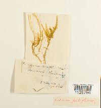 Drepanocladus aduncus (Hedw.) Warnst. 36543[1126786]Sötreb 51863-03-03 Austria, Oberösterreich, Oberösterreich, Kremsmünster |
MIN:Bryophytes | 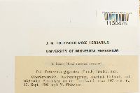 Geheebia gigantea (Funck) Jur. 655795[1130475]Fleischer, M. 7401908-09-10 Austria, Oberösterreich, Dachsteingebeit, oberhalb Hallstatt, auf triefenden Kalkfelsoen an der Trofwand, 100m |
MIN:Bryophytes | 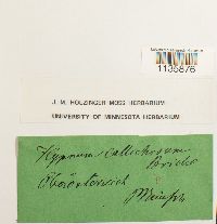 Hypnum callichroum Brid. 644524[1135876] s.n. Austria, Oberosterreich |
1
Page 1, records 1-6 of 6
Google Map
Google Maps is a web mapping service provided by Google that features a map that users can pan (by dragging the mouse) and zoom (by using the mouse wheel). Collection points are displayed as colored markers that when clicked on, displays the full information for that collection. When multiple species are queried (separated by semi-colons), different colored markers denote each individual species.