University of Minnesota
http://www.umn.edu/
612-625-5000
http://www.umn.edu/
612-625-5000
Minnesota Biodiversity Atlas
Bell Museum
Dataset: MIN-Bryophytes
Search Criteria: Nicaragua; excluding cultivated/captive occurrences
1
Page 1, records 1-13 of 13
Bell Museum bryophytes | |
 MIN:Bryophytes | 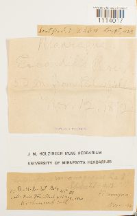 Calymperes nicaraguense Renauld & Cardot 638690[1114017]Richmond s.n.1892-11-12 Nicaragua, E. Condido River, 50 m from Bluefield |
MIN:Bryophytes | 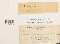 Cyclodictyon albicans (Hedw.) Kuntze 644758[1117915]C. F. Baker 25031903-02-20 Nicaragua, Volcan Mombacho, Dept. of Granada, 11.834461 -85.97831 |
MIN:Bryophytes | 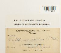 Ectropothecium leptochaeton (Schwägr.) W.R. Buck 642578[1125983]C.F. Baker 23681903-02-10 Nicaragua, Granada, Volcan Mombacho, 11.834461 -85.97831 |
MIN:Bryophytes |  Entodon complicatus (Müll. Hal.) Mitt. 643152[1126608]C.F. Baker 25041903-02-20 Nicaragua, Granada, Volcan Mombacho, 11.834461 -85.97831 |
MIN:Bryophytes | 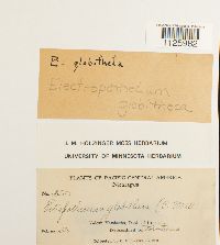 Ectropothecium leptochaeton (Schwägr.) W.R. Buck 642579[1125982]C.F. Baker 25201903-02-20 Nicaragua, Granada, Volcano Mombacho, 11.834461 -85.97831 |
MIN:Bryophytes | 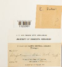 Ectropothecium bakeri Broth. 642575[1125981]C. F. Baker 21801903-01-22 Nicaragua, Chinandega, Volcano El Viejo, 12.705182 -87.001487 |
MIN:Bryophytes | 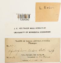 Lepidopilum bakeri Broth. 646389[1139050]Baker, C.F. 25171903-02-20 Nicaragua, Granada, Volcan Mombacho, Dept. of Granada |
MIN:Bryophytes | 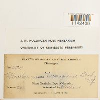 Microthamnium nicaraguense Broth. 647027[1142438]C. F. Baker 25011903-02-20 Nicaragua, Dept. of Granada. Volcan Mombacho, 11.8333333 -85.9833333 |
MIN:Bryophytes | 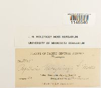 Papillaria warszewiczii Müll. Hal. 647622[1148640]Baker, C.F. 25251903-02-20 Nicaragua, Granada, Volcan Mombacho, Dept. of Granada |
MIN:Bryophytes | 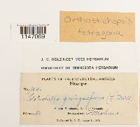 Orthostichopsis tetragona (Sw. ex Hedw.) Broth. 648252[1147089]C F Baker 25261903-02-20 Nicaragua, Granada, Volcan Mombacho, 11.834461 -85.97831 |
MIN:Bryophytes | 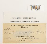 Orthostichopsis tetragona (Sw. ex Hedw.) Broth. 648251[1147090]C F Baker 25211903-02-20 Nicaragua, Granada, Volcano Mombacho, 11.834461 -85.97831 |
MIN:Bryophytes | 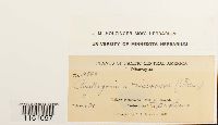 Phyllogonium viscosum (P. Beauv.) Mitt. 648103[1151057]C.F. Baker 25290000-02-21 Nicaragua |
MIN:Bryophytes |  Pilotrichum bipinnatum (Schwägr.) Brid. 648264[1151324]Richmond, C.W. s.n.1892-00-00 Nicaragua |
1
Page 1, records 1-13 of 13
Google Map
Google Maps is a web mapping service provided by Google that features a map that users can pan (by dragging the mouse) and zoom (by using the mouse wheel). Collection points are displayed as colored markers that when clicked on, displays the full information for that collection. When multiple species are queried (separated by semi-colons), different colored markers denote each individual species.