University of Minnesota
http://www.umn.edu/
612-625-5000
http://www.umn.edu/
612-625-5000
Minnesota Biodiversity Atlas
Bell Museum
Dataset: MIN-Bryophytes
Search Criteria: Switzerland; Uri; excluding cultivated/captive occurrences
1
Page 1, records 1-5 of 5
Bell Museum bryophytes | |
 MIN:Bryophytes | 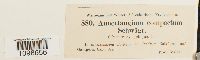 Anoectangium aestivum (Hedw.) Mitt. 27855[1098656]Gisler 880 Switzerland, Uri, Gampeln |
MIN:Bryophytes | 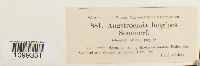 Aongstroemia longipes (Sommerf.) Bruch & Schimp. 27838[1099351]Gisler 881 Switzerland, Uri, Seedorf am Vierwaldstättersee |
MIN:Bryophytes | 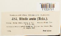 Blindia acuta (Hedw.) Bruch & Schimp. 29245[1103751]Gisler 4841863-08-23 Switzerland, Uri |
MIN:Bryophytes | 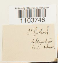 Blindia acuta (Hedw.) Bruch & Schimp. 29250[1103746] s.n. Switzerland, Uri, Saint-Gothard (mountain pass between Uri and Ticino) |
MIN:Bryophytes | 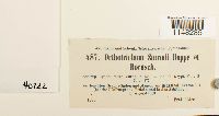 Orthotrichum rupestre Schleich. ex Schwägr. 40722[1148285]Gisler 5871863-08-26 Switzerland, Uri, Granitwanden, Mauern |
1
Page 1, records 1-5 of 5
Google Map
Google Maps is a web mapping service provided by Google that features a map that users can pan (by dragging the mouse) and zoom (by using the mouse wheel). Collection points are displayed as colored markers that when clicked on, displays the full information for that collection. When multiple species are queried (separated by semi-colons), different colored markers denote each individual species.