University of Minnesota
http://www.umn.edu/
612-625-5000
http://www.umn.edu/
612-625-5000
Minnesota Biodiversity Atlas
Bell Museum
Dataset: All Collections
Taxa: Odontoschisma elongatum (Odontoschisma denudatum f. elongatum, Odontoschisma denudatum subsp. elongatum, Odontoschisma denudatum var. elongatum)
Search Criteria: Bell Museum bryophytes; Minnesota; excluding cultivated/captive occurrences
1
Page 1, records 1-11 of 11
Bell Museum bryophytes | |
 MIN:Bryophytes | 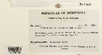 Odontoschisma denudatum subsp. elongatum (Lindb.) Potemkin 397909[1175023]Schuster, R.M. 136421948-08-12 United States, Minnesota, Cook, Porcupine Island, Susie Islands |
MIN:Bryophytes | 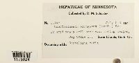 Odontoschisma denudatum subsp. elongatum (Lindb.) Potemkin 392264[1175024]Schuster, R.M. 117451948-07-05 United States, Minnesota, Cook, Big Susie I, Susie Islands. |
MIN:Bryophytes | 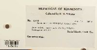 Odontoschisma denudatum subsp. elongatum (Lindb.) Potemkin 397913[1175019]Schuster, R.M. 136151948-08-12 United States, Minnesota, Cook, Porcupine Island, Susie Islands, 47.978498 -89.561199 |
MIN:Bryophytes | 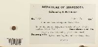 Odontoschisma denudatum subsp. elongatum (Lindb.) Potemkin 397903[1175020]Schuster, R.M. 122391948-08-13 United States, Minnesota, Cook, Belle Rose Island, Susie Islands, 47.973776 -89.578978 |
MIN:Bryophytes | 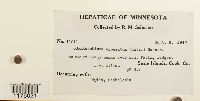 Odontoschisma denudatum subsp. elongatum (Lindb.) Potemkin 397910[1175021]Schuster, R.M. 110111947-09-05 United States, Minnesota, Cook, Long Island, Susie Islands |
MIN:Bryophytes | 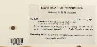 Odontoschisma denudatum subsp. elongatum (Lindb.) Potemkin 943254[1175022]Schuster, R.M. 136031948-08-12 United States, Minnesota, Cook, Porcupine Island, Susie Islands |
MIN:Bryophytes | 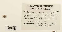 Odontoschisma denudatum subsp. elongatum (Lindb.) Potemkin 397902[1175025]Schuster, R.M. 122141948-08-13 United States, Minnesota, Cook, Belle Rose Island, Susie Islands |
MIN:Bryophytes | 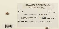 Odontoschisma denudatum subsp. elongatum (Lindb.) Potemkin 397904[1175026]Schuster, R.M. 136121948-08-12 United States, Minnesota, Cook, Porcupine Island, Susie Islands |
MIN:Bryophytes | 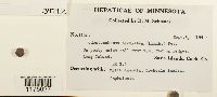 Odontoschisma denudatum subsp. elongatum (Lindb.) Potemkin 397912[1175027]Schuster, R.M. 110071947-09-05 United States, Minnesota, Cook, Long Island, Susie Islands |
MIN:Bryophytes | 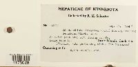 Odontoschisma denudatum subsp. elongatum (Lindb.) Potemkin 397906[1175028]Schuster, R.M. 122411948-08-13 United States, Minnesota, Cook, Belle Rose Island, Susie Islands |
MIN:Bryophytes | 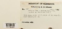 Odontoschisma denudatum subsp. elongatum (Lindb.) Potemkin 402492[1175029]Schuster, R.M. 149101947-09-10 United States, Minnesota, Cook, Big Susie I, Susie Islands., 47.973776 -89.578978 |
1
Page 1, records 1-11 of 11
Google Map
Google Maps is a web mapping service provided by Google that features a map that users can pan (by dragging the mouse) and zoom (by using the mouse wheel). Collection points are displayed as colored markers that when clicked on, displays the full information for that collection. When multiple species are queried (separated by semi-colons), different colored markers denote each individual species.