University of Minnesota
http://www.umn.edu/
612-625-5000
http://www.umn.edu/
612-625-5000
Minnesota Biodiversity Atlas
Bell Museum
Dataset: All Collections
Taxa: Riccardia multifida (Riccardia foreauana, Riccardia shimizuana), Riccardia multifida subsp. multifida (Riccardia multifida var. ambrosioides, Jungermannia multifida var. multifida, Riccardia multifida var. multifida), Riccardia multifida subsp. synoica, Riccardia multifida subsp. decrescens, Riccardia multifida var. decrescens
Search Criteria: Bell Museum bryophytes; Minnesota; excluding cultivated/captive occurrences
1
Page 1, records 1-10 of 10
Bell Museum bryophytes | |
 MIN:Bryophytes | 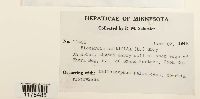 Riccardia multifida (L.) Gray 392218[1175485]Schuster, R.M. 114881948-06-27 United States, Minnesota, Cook, n.e of Grand Portage |
MIN:Bryophytes | 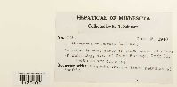 Riccardia multifida (L.) Gray 392222[1175482]Schuster, R.M. 114841948-06-26 United States, Minnesota, Cook, n.e of Grand Portage, 47.998478 -89.620611 |
MIN:Bryophytes | 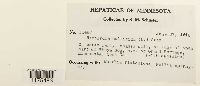 Riccardia multifida (L.) Gray 392219[1175483]Schuster, R.M. 114871948-06-27 United States, Minnesota, Cook, n.e of Grand Portage, 47.998478 -89.620611 |
MIN:Bryophytes | 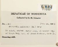 Riccardia multifida (L.) Gray 392221[1175484]Schuster, R.M. 114811948-06-26 United States, Minnesota, Cook, n.e of Grand Portage, 47.998478 -89.620611 |
MIN:Bryophytes | 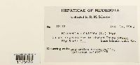 Riccardia multifida (L.) Gray 392220[1175486]Schuster, R.M. 121121948-08-14 United States, Minnesota, Cook, Big Susie Island, 47.973719 -89.578978 |
MIN:Bryophytes | 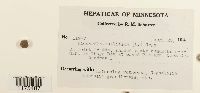 Riccardia multifida (L.) Gray 392223[1175487]Schuster, R.M. 119771948-08-25 United States, Minnesota, Cook, Grand Portage marl bog Quadrat 1 |
MIN:Bryophytes | 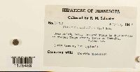 Riccardia multifida (L.) Gray 402261[1175488]Schuster, R.M. 147581947-07-28 United States, Minnesota, Wadena, south of Wenagha |
MIN:Bryophytes | 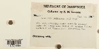 Riccardia multifida (L.) Gray 402262[1175489]Schuster, R.M. 147671947-07-30 United States, Minnesota, Clearwater, LaSalle Valley, n.e. corner of Itasca Park |
MIN:Bryophytes | 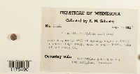 Riccardia multifida (L.) Gray 401912[1175490]Schuster, R.M. 136111947-08-05 United States, Minnesota, Lake of the woods, Thuya swamp east of Angle Inlet |
MIN:Bryophytes | 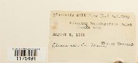 Riccardia multifida (L.) Gray 400878[1175491]Eloise Newcomb 1941-08-08 United States, Minnesota, Clearwater, Garrison Point bog, Itasca Park |
1
Page 1, records 1-10 of 10
Google Map
Google Maps is a web mapping service provided by Google that features a map that users can pan (by dragging the mouse) and zoom (by using the mouse wheel). Collection points are displayed as colored markers that when clicked on, displays the full information for that collection. When multiple species are queried (separated by semi-colons), different colored markers denote each individual species.