University of Minnesota
http://www.umn.edu/
612-625-5000
http://www.umn.edu/
612-625-5000
Minnesota Biodiversity Atlas
Bell Museum
Dataset: All Collections
Taxa: Funaria americana (Entosthodon americanus, Entosthodon muhlenbergii, Funaria calcarea, Funaria mediterranea, Funaria glabra, Funaria calcarea var. convexa, Funaria calcarea subsp. convexa, Funaria calcarea var. mediterranea)
Search Criteria: Bell Museum bryophytes; Minnesota; excluding cultivated/captive occurrences
1
Page 1, records 1-14 of 14
Bell Museum bryophytes | |
 MIN:Bryophytes | 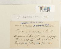 Funaria americana Lindb. 35075[1129923]J.M. H. s.n.1901-05-20 United States, Minnesota, Winona, Winona bluffs, 400m |
MIN:Bryophytes |  Funaria americana Lindb. 642850[1129924]J.M. H. 1121901-04-30 United States, Minnesota, Winona, Winona bluffs, 400m |
MIN:Bryophytes | 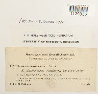 Funaria americana Lindb. 642846[1129935]J.M. Holzinger 1121904-05-00 United States, Minnesota, Winona, Near Winona, 43.9885 -91.78087 |
MIN:Bryophytes | 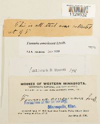 Funaria americana Lindb. 35076[1129932]J.M. Holzinger s.n.1901-07-10 United States, Minnesota, Yellow Medicine, Near Granite Falls |
MIN:Bryophytes | 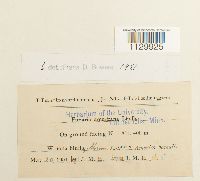 Funaria americana Lindb. 35078[1129925]J.M. H. s.n.1901-05-20 United States, Minnesota, Winona, Winona bluffs, 400m |
MIN:Bryophytes | 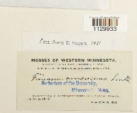 Funaria americana Lindb. 35077[1129933]J.M. Holzinger s.n.1901-06-22 United States, Minnesota, Big Stone, Near Ortonville |
MIN:Bryophytes | 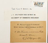 Funaria americana Lindb. 637139[1129934]J.M. Holzinger 3741901-00-00 United States, Minnesota, Winona |
MIN:Bryophytes | 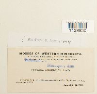 Funaria americana Lindb. 35074[1129930]J.M. Holzinger s.n.1901-06-22 United States, Minnesota, Big Stone, near Ortonville |
MIN:Bryophytes | 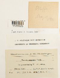 Funaria americana Lindb. 642847[1129926]J.M. H. s.n.1901-05-15 United States, Minnesota, Winona, Winona bluffs, 400m |
MIN:Bryophytes | 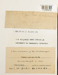 Funaria americana Lindb. 642849[1129928]J.M. H. s.n.1901-05-01 United States, Minnesota, Winona, 400m |
MIN:Bryophytes | 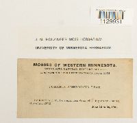 Funaria americana Lindb. 642848[1129931]J.M. Holzinger s.n.1901-06-22 United States, Minnesota, Big Stone, Near Ortonville |
MIN:Bryophytes | 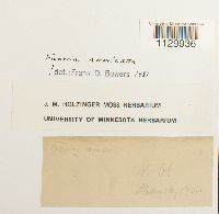 Funaria americana Lindb. 642851[1129936] s.n.1901-05-16 United States, Minnesota, Winona, Wi bl (Winona bluffs) |
MIN:Bryophytes | 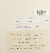 Funaria americana Lindb. 35072[1129927]J.M.H. s.n.1901-05-01 United States, Minnesota, Winona, Winona bluffs |
MIN:Bryophytes | 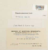 Funaria americana Lindb. 35073[1129929]Holzinger, J.M. s.n.1901-06-22 United States, Minnesota, Big stone, Ortonville |
1
Page 1, records 1-14 of 14
Google Map
Google Maps is a web mapping service provided by Google that features a map that users can pan (by dragging the mouse) and zoom (by using the mouse wheel). Collection points are displayed as colored markers that when clicked on, displays the full information for that collection. When multiple species are queried (separated by semi-colons), different colored markers denote each individual species.