University of Minnesota
http://www.umn.edu/
612-625-5000
http://www.umn.edu/
612-625-5000
Minnesota Biodiversity Atlas
Bell Museum
Dataset: MIN-Plants
Search Criteria: USA OR United States OR U.S.A. OR United States of America; excluding cultivated/captive occurrences
Bell Museum plants | |
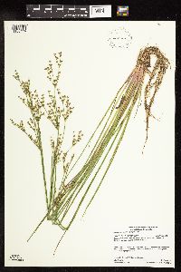
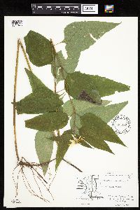
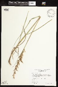
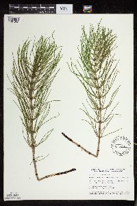
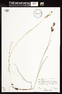
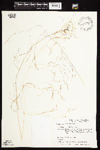
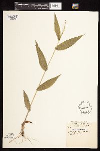
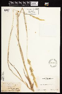
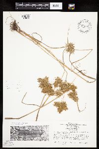
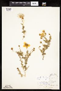
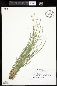
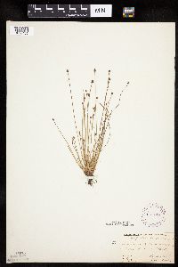
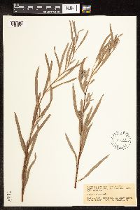
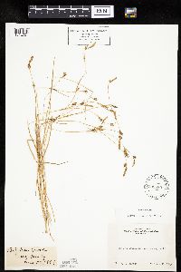
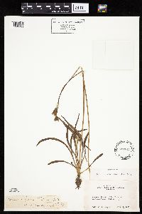
MIN:Plants | Juncus brevicaudatus (Engelmann) Fernald 909951[1138414]Gerdes, Lynden; et al. 56732008-08-21 United States, Minnesota, Lake, Boundary Waters Canoe Area Wilderness / Superior National Forest. T64N R11W S11NWNWNENW. Lake County, MN. Superior National Forest. Boundary Waters Canoe Area Wilderness. Unnamed ponded wetland SW of Frolic Lake.. 064N 11W 11, 48.1361111 -91.7055556 |
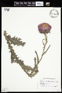
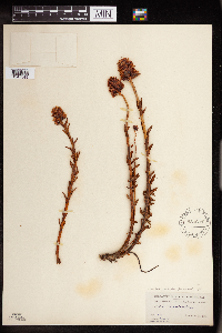
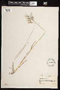
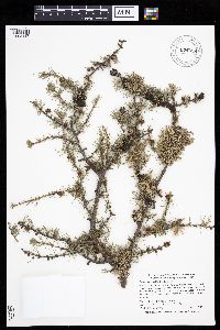
MIN:Plants | 409932[]Spetzman, L. 16231949-07-02 United States, Alaska, Arctic North Slope ... Anaktuvuk Pass;Gates of the Arctic National Park;;;, 68.2833333 -151.4166667, 610m |
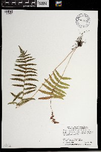
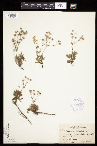
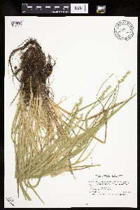
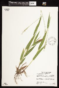
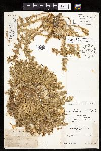
MIN:Plants | Thelypteris palustris var. pubescens (Lawson) Fernald 904448[1372802]Smith, Welby 281851999-08-24 United States, Minnesota, Aitkin, Atikin County...2.5 miles N-NW of Pliny...T 45N R 23W SW1/4 of NE1/4 of Sec 20;Solana State Forest;045N;23W;20, 46.3597222 -93.2797222 |
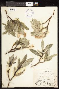
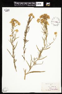
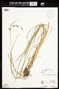
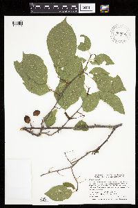
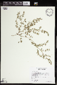
MIN:Plants | Salix barrattiana Hooker 401631[1096791]Spetzman, L. 6741948-07-14 United States, Alaska, Arctic North Slope ... Lake Peters;Arctic National Wildlife Refuge;;;, 69.3333333 -145, 1067m |
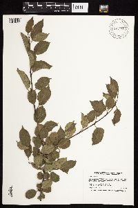
MIN:Plants | 912481[1057351]Smith, Welby 229431993-07-15 United States, Minnesota, Fillmore, Beaver Creek Wildlife Management Area. Fillmore County ... Beaver Creek State Wildlife Management Area; about 9.5 miles south of Spriing Valley ... T101N R31W NE1/4 of SW1/4 of Sec 21. 101N 31W 21, 43.5341667 -92.4025 |
MIN:Plants | 593483[1045476]Hartley, Thomas 80361959-08-08 United States, Iowa, Allamakee, Driftless Area...Allamakee County, T 98 N; R 5 W; Sect. 12. Makee Twp.;;098N;05W;12 |
MIN:Plants | 477386[1041290]Smith, Welby 206621992-07-07 United States, Minnesota, Winona, Winona County ... About 2.5 miles east-northeast of Lewiston ... Garvin Brook ... T 106N R 8W SE1/4 of SW1/4 of Sec 8;Dorer Memorial Hardwood State Forest;106N;08W;08, 43.9936111 -91.8125 |
MIN:Plants | Potentilla tridentata Aiton 353704[1029446]Lakela, Olga 25861938-07-24 United States, Minnesota, Saint Louis, Chester Park Hill, Kenwood side, Duluth;;050N;14W;00, 46.7833 -92.1 |
MIN:Plants | 914825[]Gerdes, Lynden B. United States, Minnesota, Cook, Detailed locality information protected. This is typically done to protect rare or threatened species localities. |
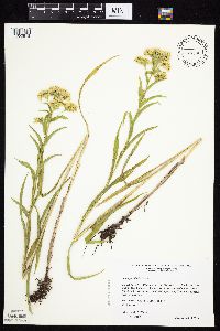
MIN:Plants | Euthamia occidentalis Nuttall 215663[1044811]Howell, Thomas s.n.1885-09-00 United States, Oregon, Multnomah, Sauvie's Island |
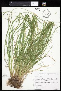
MIN:Plants | Sorghastrum nutans (L.) Nash 488910[1072650]Wheeler, Gerald 172251997-08-15 United States, Minnesota, Yellow Medicine, Yellow Medicine County...S side of Granite Falls, Memorial Park...N1/2 SW1/4 NW1/4 Sec. 3 T115N R39W (Minnesota Falls 3);;115N;39W;03, 44.798982 -95.542086 |
MIN:Plants | 435251[1331342]Smith, Welby 151791989-05-30 United States, Minnesota, Kanabec, Mille Lacs Wildlife Management Area. Kanabec County...Mille Lacs State Wildlife Management Area, about 9 miles northwest of Mora...SW1/4 SW1/4 section 16, T 40N R 25W. 040N 25W 16, 45.9511111 -93.4711111 |
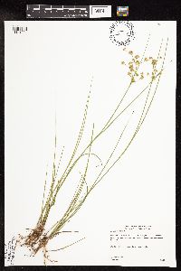
MIN:Plants | Juncus brevicaudatus (Engelmann) Fernald 896536[1138421]Rowe, Erika ERR20060816022006-08-16 United States, Minnesota, Hubbard, Huntersville State Forest / Wildlife Management Area. Hubbard County...0.5 mile north of Cty Rd. 110; 4.9 miles NE of Huntersville...NE corner of Huntersville State Forest...SWNW S36 T139N R33W. 139N 33W 36, 46.8058333 -94.8044444 |
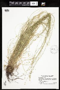
MIN:Plants | Agrostis scabra Willdenow 429773[1057910]Smith, Michael 5111997-08-12 United States, Minnesota, Saint Louis, Voyageurs National Park. St Louis Co.; Plot name: Voya 93 DNR #7282; Daley Bay;Voyageurs National Park;069N;20W;32, 48.4213889 -92.9302778 |
MIN:Plants | 386007[]Lakela, Olga 55611944-06-16 United States, Minnesota, Saint Louis, 60-acre island in Island Lake, 20 miles north of Duluth;;052N;14W;00, 46.981669 -92.111552 |
MIN:Plants | Drosera filiformis Rafinesque 453038[]US Nat. Arboretum staff s.n.1981-00-00 United States, New Jersey, Burlington, Burlington Co.;;;;, 39.877714 -74.668068 |
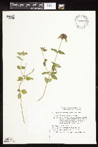
MIN:Plants | Satureja vulgaris (L.) Fritsch 435753[1083723]Smith, Michael 1911996-08-21 United States, Minnesota, Koochiching, Voyagerus National Park. Koochiching Co.; Plot name: Voya 21 DNR #5779; Dryweed Island;Voyageurs National Park;071N;22W;, 48.6 -93.1 |
MIN:Plants | Carex rosea Schkuhr ex Willdenow 917179[1015680]Smith, Welby 224111993-06-15 United States, Minnesota, Brown, MinnRiver Wildlife Management Area. Brown County ... In the Minnesota River Valley (River Valley Wildlife Management Area), about 4 miles northwest of New Ulm ... T110N R31W SE1/4 of SW1/4 of Sec 2. 110N 31W 2, 44.3566667 -94.5241667 |
MIN:Plants | Fallopia japonica var. japonica (Houttuyn) Ronse Decraene 438427[1085682]Cochran, Philip; et al. s.n.2001-09-27 United States, Minnesota, Wabasha, Wabasha Co, west side of U.S. Highway 61, just north of State Highway 74 in Weaver (T109N,R9W,S29).;Dorer Memorial Hardwood State Forest;109N;09W;29, 44.218656 -91.93787 |
MIN:Plants | Juniperus horizontalis Moench 493211[1004295]Lee, Michael United States, Minnesota, Lake, Detailed locality information protected. This is typically done to protect rare or threatened species localities. |
MIN:Plants | Noccaea fendleri (A. Nelson) Holub 584601[]Morean, Edith 2631962-08-09 United States, Washington, Olympic National Park; High Divide Trail below Heart Lake;Olympic National Park |
MIN:Plants | 428909[1092590]Smith, Welby 271881998-06-03 United States, Minnesota, Cook, Cook County ... Temperance River State Park, about 2 miles southwest of Tofte ... T 59N R 4W NW1/4 of NW1/4 of Sec 32;North Shore / Temperance River State Park;059N;04W;32, 47.5569444 -90.8713889 |
MIN:Plants | Carex microptera Mackenzie 447782[1118806]Bright, R. 73-2161973-00-00 United States, Idaho, Bear Lake, [no further data] |
MIN:Plants | 508937[1048295]Wheeler, Gerald 204711999-09-08 United States, Minnesota, Sibley, Sibley County ... Ca. 2mi. SW of Henderson; Rush River State Wayside Park ... E1/2 SE1/4 Sec. 15 T112N R26W;;112N;26W;15, 44.507469 -93.939321 |
MIN:Plants | Potentilla tridentata Aiton 336311[1029424]Lakela, Olga 14331936-06-20 United States, Minnesota, Saint Louis, Sec. 18...Duluth;;;;, 46.7833 -92.1 |
MIN:Plants | 510317[1145039]Lee, Michael MDL24181998-08-26 United States, Minnesota, Morrison, Morrison County ... Along the Mississippi River and U.S. Hwy 10 just north of Little Falls ... side channel on the east bank of the river ... T41N R32W SE1/4 of NE1/4 Sec. 8. 041N 32W 8, 46.001053 -94.363733 |
MIN:Plants | Dichanthelium boscii (Poiret) Gould & C.A. Clark 598950[1063168]Tryon, R. 25721936-06-23 United States, Indiana, Porter, Dunes State Park, Porter County;Indiana Dunes National Lakeshore;;;, 41.663093 -87.032128 |
MIN:Plants | Rhodiola rhodantha (A. Gray) H. Jacobsen 580631[1347349]Hunnewell, F. 20361913-07-11 United States, Colorado, Larimer, Estes Park, Larimer Co.;Rocky Mountain National Park;;;, 40.377206 -105.521665, 2743m |
MIN:Plants | Carex stipata var. stipata Muhlenberg ex Willdenow 913673[1016712]Smith, Welby 243121994-07-02 United States, Minnesota, Polk, Polk County... Along the south side of the Sand Hill River, about 1.5 miles west of Fertile... T147N R44W NE1/4 of SW1/4 of Sec 19. 147N 44W 19, 47.5325 -96.3116667 |
MIN:Plants | Carex spectabilis Dewey 520305[1016411]Lawrence, Donald s.n.1952-08-19 United States, Alaska, Tlingit Point area.;Glacier Bay National Park;;;, 58.7577778 -136.18 |
MIN:Plants | Boltonia decurrens (Torrey & A. Gray) Alph. Wood 203869[]Eggert, H. s.n.1886-09-15 United States, Missouri, [Missouri] Lakes |
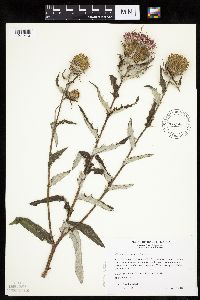
MIN:Plants | Cirsium altissimum (L.) Sprengel 479090[1041410]Wheeler, Gerald 174201997-08-29 United States, Minnesota, Renville, Renville Co.; Ca. 2 mi. WSW of Morton on Rte. 15, N of road; SE1/4 SE1/4 NE1/4 Sec. 26 T113N R35W (Beaver Falls 26);;113N;35W;26, 44.563483 -95.025051 |
MIN:Plants | Plantago patagonica N.J. Jacquin 192436[]Butters, F.; et al. R27861914-06-13 United States, Minnesota, Morrison, near Randall, Morrison Co.;;130N;30W;07, 46.091077 -94.50362 |
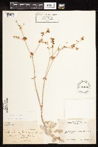
MIN:Plants | Eriogonum saxatile S. Watson 238022[1085107]Eastwood, Alice s.n.1899-07-11 United States, California, Fresno, Hill above Converse Basin, King's River Canyon;Kings Canyon National Park |
MIN:Plants | Nemophila breviflora A. Gray 477826[]Bright, R. 74-1151974-00-00 United States, Idaho, Bear Lake, [no further data] |
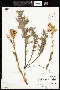
MIN:Plants | Cirsium rydbergii Petrak 589086[1042141]Welsh, Stanley; et al. 27421963-09-28 United States, Utah, Grand, Grand Co. ...Salt Wash, about one-half mile north of Turnbow Cabin, Arches National Monument.;Arches National Monument |
MIN:Plants | Acalypha rhomboidea Rafinesque 461836[1349797]Husveth, J. 95-17431995-09-04 United States, Minnesota, Goodhue, Goodhue Co.; T113N R15W SE1/4 of the NE1/4 of S19; along Cannon River.;Dorer Memorial Hardwood State Forest;113N;15W;19, 44.5791086 -92.6620477 |
MIN:Plants | Fallopia scandens (L.) Holub 912503[1085786]Anderson, Derek 10882008-09-10 United States, Minnesota, Mower, Mower County ... About 6 km northwest of Racine. 2.8 km west of U.S. Highway 63 on 320th St ... T104N, R14W, NWNW 16;;104N;14W;16, 43.8186111 -92.5252778 |
MIN:Plants | Salix planifolia Pursh 491665[1092247]Smith, Welby 284062000-05-04 United States, Minnesota, Hubbard, Hubbard County ... About 6 miles south of Chamberlain on Hwy 64 ... T 139N R 32W SW1/4 of SW1/4 of Sec 27;Badoura State Forest;139N;32W;27, 46.8194444 -94.7216667 |
MIN:Plants | Carex limosa L. 915057[1013058]Smith, Welby; et al. 314072009-08-28 United States, Minnesota, Cook, Boundary Waters Canoe Area Wilderness / Superior National Forest. Cook County...Boundary Waters Canoe Area Wilderness, Superior National Forest...unnamed lake/pond between Wanihigan and Mulligan Lakes...T 63N R 3W NW1/4 of SE1/4 of Sec 1. 063N 03W 1, 47.9655556 -90.6427778 |
MIN:Plants | Geum aleppicum var. strictum (Aiton) Fernald 918675[1027316]Ruby, Janeen MN2009-22009-08-05 United States, Minnesota, Rock, Rock County...Blue Mounds State Park...T 103N R 45W S1/2 of NW1/4 of Sec 25;Blue Mounds State Park;103N;45W;25, 43.6972222 -96.1875 |
MIN:Plants | 435175[]Lee, Michael MDL17631997-06-25 United States, Minnesota, Stearns, Stearns Co.; 2-1/2 miles west-southwest of St. Stephen; T126N R29W NW1/4 of SW1/4 Sec. 27;;126N;29W;27, 45.695687 -94.3156372 |
MIN:Plants | Agrostis exarata Trinius 233938[1057585]Congdon, J. s.n.1885-07-15 United States, California, Mariposa, Footman Mt.;Yosemite National Park;;;, 37.54549 -119.82489 |
MIN:Plants | 699751[1019616]Ziegler, S.; et al. 25331975-09-09 United States, Wisconsin, Vernon, Vernon Co.; Island 1; Mississippi River-mile #689; T14N R7W Sec 7 ... Large island E side of main channel ... north end;Upper Mississippi National Wildlife Refuge;14N;07W;32, 193m |
MIN:Plants | Cirsium pumilum var. hillii (Canby) B. Boivin 205522[1042109]Rosendahl, C. United States, Minnesota, Houston, Detailed locality information protected. This is typically done to protect rare or threatened species localities. |
MIN:Plants | 262186[]Rosendahl, C.; Butters, F. 40931921-07-07 United States, Minnesota, Houston, west of Caledonia, Houston County;;102N;06W;, 43.6306707 -91.5512943 |
MIN:Plants | Fallugia paradoxa (D. Don) Endlicher ex Torrey 127531[1026715]Wilson, Norman s.n.1893-05-04 United States, Arizona, Mohave, Peach Springs Natl. Forest. Coconino County.. , 35.52916 -113.42549 |
MIN:Plants | Carex cephalophora Muhlenberg ex Willdenow 477032[1008609]Wheeler, Gerald 192411998-06-16 United States, Minnesota, Le Sueur, Le Sueur County ... Ca. 1.2 mi. S of Ottawa on Rte. 23; Ottawa Bluffs ... W1/2 NE1/4 Sec. 3 T110N R26W;Ottawa Bluffs, The Nature Conservancy;110n;26W;3, 44.362618 -93.939379 |
MIN:Plants | Gutierrezia sarothrae (Pursh) Britton & Rusby 289509[1045256]Lakela, Olga 9151934-07-05 United States, South Dakota, Pennington, Bad Lands;Badlands National Monument |
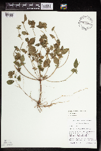
MIN:Plants | Hedeoma hispida Pursh 492447[1080520]Wheeler, Gerald 159711997-06-07 United States, Minnesota, Nicollet, Nicollet County ... Ca. 4 mi. SE of Fort Ridgely State Park on Rte. 21 ... NW1/4 SE1/4 SW1/4 Sec. 15 T111N R32W;;111N;32W;15, 44.420061 -94.674298 |
MIN:Plants | Nymphaea odorata Aiton 910999[]Smith, Welby 245701994-07-09 United States, Minnesota, Benton, Bibles Wildlife Management Area. Benton County...Bibles State Wildlife Management Area; about 5 miles north of Santiago...T 36N R 28W SW1/4 of NW1/4 of Sec 15. 036N 28W 15, 45.6133333 -93.82 |
MIN:Plants | Vicia americana Muhlenberg ex Willdenow 432695[1079625]Gerdes, Lynden; VanderMeulen, David 35791999-06-23 United States, Minnesota, Cook, Northeast corner of the most southeastern bay of Gunflint Lake. SENE of section;Superior National Forest;065N;02W;19, 48.0985658 -90.241796 |
MIN:Plants | Dryas hookeriana Juzepczuk 127355[1026531]Clements, F.; et al. 4111901-07-26 United States, Colorado, El Paso, Bottomless Pit [Pike's Peak area], 3800m |
MIN:Plants | Anemone virginiana var. alba (Oakes) A.W. Wood 913554[]Smith, Welby 254741994-09-08 United States, Minnesota, Beltrami, At the Waskish Municipal Campground. SE1/4 of NE1/4 of section;;154N;30W;08, 48.1722222 -94.5116667 |
MIN:Plants | Liparis loeselii (L.) Richard 920994[1313726]Lee, Michael; et al. United States, Minnesota, Todd, Detailed locality information protected. This is typically done to protect rare or threatened species localities. |
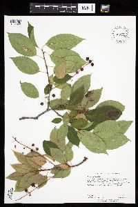
MIN:Plants | Prunus serotina var. serotina Ehrhart 907212[1030342]Rowe, Erika ERR20060808092006-08-08 United States, Minnesota, Becker, Becker County...0.25 mile south of Cty Hwy 26; 0.5 miles west of Cty Hwy 27; wetland complex east of Rice Lake... along snowmobile trail...SWSW S09 T140N R40W. 140N 40W 9, 46.9525 -95.7455556 |
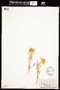
MIN:Plants | Hymenoxys grandiflora (Torrey & A. Gray) K.F. Parker 213436[1047269]Osterhout, George s.n.1894-06-00 United States, Colorado, Larimer, Mts of Estes Park;Rocky Mountain National Park, 3658m |
MIN:Plants | Galium trifidum subsp. columbianum (Rydberg) Hultén 238738[]Congdon, J.; Babcock, E. s.n.1896-07-08 United States, California, Tuolumne, Hog Ranch above Hetch Hetchy, Tuolumne County;Yosemite National Park |
MIN:Plants | Solidago riddellii Frank 477832[1050918]Wheeler, Gerald 204661999-08-28 United States, Minnesota, McLeod, Brownton Wildlife Management Area. McLeod County ... Ca. 2.5 mi. SW of Brownton on Rte. 212; Waterfowl Production Area; where Rte. 54 crosses RR tracks, W of road and S of tracks ... S1/2 NE1/4 Sec. 35 T115N R30W (Collins 35). 115N 30W 35, 44.724722 -94.406691 |
MIN:Plants | Juncus ensifolius var. montanus (Engelmann) C.L. Hitchcock 444182[]Bright, R. s.n.1972-00-00 United States, Idaho, Bear Lake, Bear Lake Co. North Canyon |
MIN:Plants | Cerastium velutinum var. velutinum Rafinesque 247231[]Watson, J. s.n. United States, Ohio, Scenic Park, Rocky River |
MIN:Plants | 408689[]Spetzman, L. 20621949-07-17 United States, Alaska, Arctic North Slope...Kanayut Lake;Gates of the Arctic National Park;;;, 68.3333333 -151, 914m |
MIN:Plants | Polystichum braunii (Spenner) F̩e 505516[1311444]Anderson, Chel United States, Minnesota, Cook, Detailed locality information protected. This is typically done to protect rare or threatened species localities. |
MIN:Plants | Cassiope mertensiana subsp. mertensiana (Bongard) G. Don 582010[]Morean, Edith 1531962-08-07 United States, Washington, Clallam, Olympic National Park, between Obstruction Point and Hurricane Ridge;Olympic National Park;;;, 47.930263 -123.406989 |
MIN:Plants | 263902[]Holzinger, John s.n.1901-08-00 United States, Minnesota, Winona, Minn. City; in Winona County;;107N;08;, 44.063412 -91.779624 |
MIN:Plants | 488288[]Smith, Welby 287622000-07-18 United States, Minnesota, Ramsey, Ramsey County ... Battle Creek County Park, in St. Paul ... T 28N R 22W SE1/4 of SE1/4 of Sec 3;Battle Creek County Park;028N;22W;03, 44.9361111 -93.0280556 |
MIN:Plants | Carex arcta Boott 484996[1006862]Gerdes, Lynden; et al. 31871998-08-16 United States, Minnesota, Cook, Boundary Waters Canoe Area Wilderness / Superior National Forest. T65N R02E S22NWNW. Cook County ... Superior National Forest, BWCAW. 'Dry Pond'; south of Mountain Lake and approx. 0.4 mile WNW of Pemmican Lake.. 065N 02E 22, 48.100223 -90.177463 |
MIN:Plants | Eleocharis obtusa (Willdenow) Schultes 269128[1020455]Fassett, N.; et al. 43231927-08-24 United States, Wisconsin, Trempealeau, Trempealeau Co. ... Lakeside Park. Trempealeau;Upper Mississippi National Wildlife Refuge |
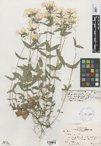
MIN:Plants | Phlox divaricata f. bicolor John W. Moore 381527[1001991]Moore, John; Phinney, Bernard 142781942-05-02 United States, Minnesota, Houston, Mouth of Root River;Upper Mississippi National Wildlife Refuge;104N;04W;36, 43.76194 -91.25167 |
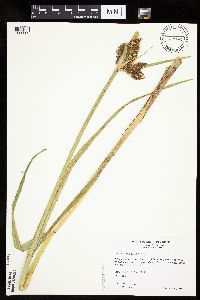
MIN:Plants | Bolboschoenus fluviatilis (Torrey) Soj 477043[1006363]Wheeler, Gerald 161591997-06-14 United States, Minnesota, Nicollet, Nicollet County ... Ca. 2.3 mi. W of Nicollet of Rte. 14, N of road; Swan Lake WMA ... N1/2 Sec. 6 T109N R28W;Swan Lake Wildlife Management Area;109N;28W;6, 44.275753 -94.240942 |
MIN:Plants | 505528[1141201]Gerdes, Lynden 44052001-07-13 United States, Minnesota, Lake, T56N R08W S25NWSW Lake County .. Tettegouche State Park. Silver Bay, MN. Approximately 0.06 mile south of Bean Lake.;North Shore / Tettegouche State Park;056N;08W;25, 47.3075321 -91.2931456 |
MIN:Plants | Salix exigua Nuttall 593713[1096876]Cutler, H. 30031939-08-31 United States, Utah, San Juan, San Juan River 4 miles above Mexican Hat, San Juan Co.;Navaho Indian Reservation, 1250m |
MIN:Plants | Poa arctica subsp. lanata (Scribner & Merrill) Soreng 525415[1070710]Hardy, Robert 2041945-07-14 United States, Alaska, Aleutian Islands ... Attu Island ... Bassett Creek, Sidden's Valley;Aleutian Islands Wilderness;;;, 52.884659 -173.213793, 61m |
MIN:Plants | Dichanthelium xanthophysum (A. Gray) Freckmann 917100[1063860]Gerdes, Lynden; et al. 58172009-07-24 United States, Minnesota, Cook, Boundary Waters Canoe Area Wilderness / Superior National Forest. T64N R05W S02NWSW. Cook County, MN. Superior National Forest. Boundary Waters Canoe Area Wilderness. Western shores of Gillis Lake; on the mainland just north of the large island...NAD 83 / 653644 / 5324522. 064N 05W 2, 48.0722222 -90.9380556 |
MIN:Plants | Heteranthera dubia (Jacquin) MacMillan 907054[]Lee, Michael MDL45642007-09-13 United States, Minnesota, Roseau, Hayes Lake State Park. Roseau County...Hayes Lake State Park...Roseau River 8.5 miles east of Wannaska, 17.5 miles southeast of Roseau ...Just below the Hayes Lake dam...T160N R38W SW1/4 of SW1/4 of NE1/4 Sec.33 ... UTM: 5389971N 312203E. 160N 38W 33, 48.634617 -95.54897 |
MIN:Plants | Silene latifolia Poiret 524779[]Benner, F.; Benner, J. s.n.1937-06-20 United States, Wisconsin, Polk, Near our shack, St. Croix Falls;Saint Croix National Riverway;;;, 45.426173 -92.644787 |
MIN:Plants | Prunus nigra Aiton 899989[1029797]Smith, Welby 273621998-07-10 United States, Minnesota, Otter Tail, Bluff Creek Wildlife Management Area. Otter Tail County...Bluff Creek State Wildlife Management Area, about 11 miles west of Sebeka...T136N R37W NE1/4 of NW1/4 of Sec 2. 136N 37W 2, 46.6286111 -95.3144444 |
MIN:Plants | Dodecatheon NULL 237979[]Congdon, J. s.n.1901-03-30 United States, California, Mariposa, Mormon Bar;Yosemite National Park;;;, 37.46222 -119.94694 |
MIN:Plants | Carex lemmonii W. Boott 233580[1012721]Congdon, J. s.n.1883-06-29 United States, California, Mariposa, Big Tree Grove, Mariposa County;Yosemite National Park |
MIN:Plants | Larix laricina (Du Roi) K. Koch 896628[1003117]Smith, Welby 293092002-06-21 United States, Minnesota, Cook, Superior National Forest. Cook County...About 15 air miles north of Tofte on County Road 2 (Sawbill Trail), near where the road crosses Swanson Creek...T 61N R 4W SE1/4 of NE1/4 of Sec 7. 061N 04W 7, 47.7841667 -90.8736111 |
MIN:Plants | 918086[]Myhre, K. 106872009-08-23 United States, Minnesota, Cook, Cook County...Swamper Lake. Located 18 miles north of the town of Grand Marais...T64N R1E SE1/4 of NW1/4 of Sec 19;Superior National Forest;064N;01E;19, 48.0141667 -90.3747222 |
MIN:Plants | Cirsium scariosum var. americanum (A. Gray) D.J. Keil 231417[1042144]Congdon, J. s.n.1898-08-11 United States, California, Tuolumne, North Side Mt. Dana, Tuolumne County;Yosemite National Park |
MIN:Plants | 510114[1354324]Wheeler, Gerald 177221997-09-05 United States, Minnesota, Renville, Renville County ... W side of Morton, Morton Outcrop complex ... SW1/4 NW1/4 NW1/4 Sec. 31 T113N R34W (Birch Cooley 31);;113N;34W;31, 44.5432687 -94.9903271 |
MIN:Plants | Carex deweyana Schweinitz 222038[1009694]Butters, F.; et al. s.n.1920-06-19 United States, Wisconsin, Polk, south of bridge, St. Croix Falls, Polk County;Saint Croix National Riverway;;;, 45.426173 -92.644787 |
MIN:Plants | Lysimachia borealis (Rafinesque) U. Manns & Anderberg 427045[1141983]Lee, Michael; et al. MDL36262004-06-15 United States, Minnesota, Becker, Sucker Creek County Park. Becker County...Sucker Creek Park on the southeast side of Big Detroit Lake, three miles southeast of the city of Detroit Lakes...along Sucker Creek...T138N R41W NW1/4 of NE1/4 Sec. 13. 138N 41W 13, 46.7673875 -95.8060823 |
MIN:Plants | Persicaria punctata (Elliott) Small 907519[1087079]Gerdes, Lynden 52632006-08-02 United States, Minnesota, Itasca, Chippewa National Forest. T57N R25W S07NWSENW. Itasca County, MN. Chippewa National Forest. Approximately 12.04 miles SE of Marcell, MN and 0.05 miles S of Trout Lake.. 057N 25W 7, 47.436271 -93.567371 |
MIN:Plants | Picea mariana (Miller) Britton, Sterns & Poggenburg 899513[1003426]Smith, Welby 269901998-05-04 United States, Minnesota, Polk, Gully Fen Scientific Natural Area. Polk County...Gully Fen State Scientific and Natural Area, about 2 miles north of the town of Gully...T 150N R 39W NW1/4 of SW1/4 of Sec 23. 150N 39W 23, 47.795 -95.6191667 |
MIN:Plants | Asclepias sullivantii Engelmann ex A. Gray 478947[1325898]Wheeler, Gerald United States, Minnesota, Sibley, Detailed locality information protected. This is typically done to protect rare or threatened species localities. |
MIN:Plants | Potentilla palustris (L.) Scopoli 407388[1029050]Lakela, Olga 87051949-07-03 United States, Minnesota, Saint Louis, ...small lake in Fredenburg Township, St. Louis Co.;;052N;15W;00, 47.5833 -92.5 |
MIN:Plants | Diphasiastrum x habereri (House) Holub 492964[1322884]Lakela, Olga 168511953-08-12 United States, Minnesota, Saint Louis, St. Louis Co.; at Bottle Lake, east end of Lac La Croix;Boundary Waters Canoe Area Wilderness / Superior National Forest;067N;13W;, 48.3333 -92.1167 |
MIN:Plants | Gymnocladus dioicus NULL 904610[1076864]Whitfeld, T.J.S. 3782002-08-27 United States, Minnesota, Kandiyohi, 4 miles southeast of Willmar; between Lake Eleanor and Wagonga Lake. T119N R34W SWSWSW32, 45.067 -94.9746667 |
MIN:Plants | 461234[]Gerdes, Lynden 27111998-06-15 United States, Minnesota, Cook, Superior National Forest. T65N R01W S31NESW. Cook County; Superior National Forest, South Lake Hiking Trail, sedge meadow/open-drainage area southeast of East Otter Lake.. 065N 01W 31, 48.070172 -90.501305 |
MIN:Plants | Coleogyne ramosissima Torrey 363013[1025465]Clokey, Ira 79761938-05-22 United States, Nevada, Clark, Charleston Mts, Clark Co. ... Old Kyle Canyon fan.;;;;, 36.29472 -115.44444, 1300m |
MIN:Plants | Asarum hartwegii S. Watson 230208[]Congdon, J. s.n.1883-05-00 United States, California, Mariposa, Mormon Bar Hill, Mariposa County;Yosemite National Park |
MIN:Plants | Atriplex confertifolia (Torrey & Fr̩mont) S. Watson 527776[1036759]Weber, W. s.n.1954-05-16 United States, Colorado, Mesa, Mesa Co.: escarpment, Fruita entrance, Colo. Nat. Monument;Colorado National Monument |
MIN:Plants | 510961[1066105]Gerdes, Lynden 26021998-06-04 United States, Minnesota, Cook, T65N R01E S21NE. Cook County ... Superior National Forest, BWCAW. On top of rock outcrop/cliff/overlook at Watap Lake.;Boundary Waters Canoe Area Wilderness / Superior National Forest;065N;01E;21, 48.096662 -90.331204 |
MIN:Plants | Tsuga heterophylla (Rafinesque) Sargent 599642[1004078]Cooper, William 3101929-07-23 United States, Alaska, Glacier Bay, Station 26.;Glacier Bay National Park;;;, 58.941072 -136.78764 |
MIN:Plants | Erigeron annuus (Linnaeus) Persoon 905692[1043262]Gerdes, Lynden 43822001-07-02 United States, Minnesota, Lake, T56N R08W S02SENE. Lake County...Finland State Forest. NW of Silver Bay, MN, approx. 1.26 miles NW of Lax Lake.;Finland State Forest;056N;08W;02, 47.364812 -91.314433 |
MIN:Plants | Phalacroseris bolanderi A. Gray 232645[1049199]Congdon, J. s.n.1891-07-22 United States, California, Mariposa, Glacier Point Turnpike, Mariposa County;Yosemite National Park, 2375m |
MIN:Plants | Streptanthus tortuosus Kellogg 233099[]Congdon, J. s.n.1899-08-28 United States, California, Mariposa, Tenaya Trail, Indian Canyon, Mariposa County;Yosemite National Park |
Google Map
Google Maps is a web mapping service provided by Google that features a map that users can pan (by dragging the mouse) and zoom (by using the mouse wheel). Collection points are displayed as colored markers that when clicked on, displays the full information for that collection. When multiple species are queried (separated by semi-colons), different colored markers denote each individual species.
