University of Minnesota
http://www.umn.edu/
612-625-5000
http://www.umn.edu/
612-625-5000
Minnesota Biodiversity Atlas
Bell Museum
Dataset: MIN-Plants
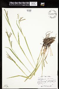
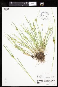
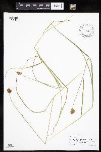
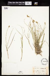
Taxa: Carex
Search Criteria: excluding cultivated/captive occurrences
Bell Museum plants | |
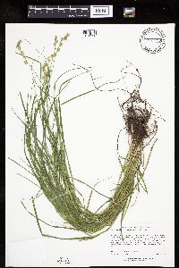
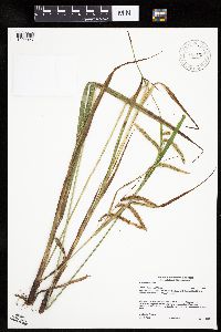
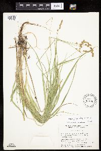
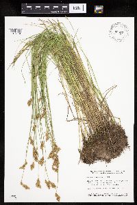
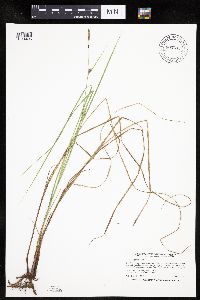
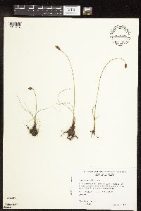
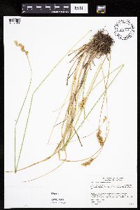
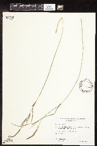
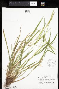
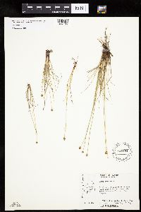
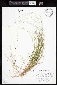
MIN:Plants | Carex arcta Boott 539810[1006909]Viereck, Les 16501956-08-02 United States, Alaska, Mt. McKinley Nat. Park ... Vicinity of Wonder Lake;Denali National Park;;;, 63.4500008 -150.8333282, 579m |
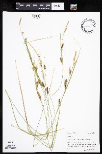
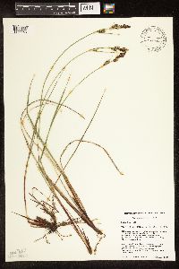
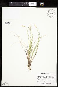
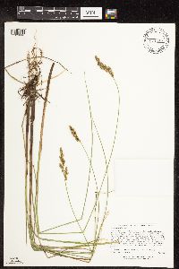
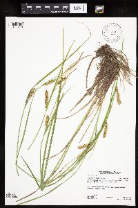
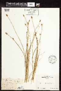
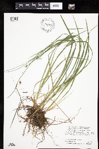
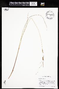
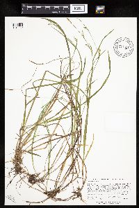
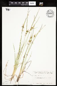
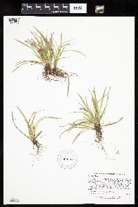
MIN:Plants | Carex trisperma Dewey 432084[1017522]Lee, Michael MDL22961998-07-28 United States, Minnesota, Crow Wing, Crow Wing Co.; 5-1/2 miles south of Emily; T137N R26W NW1/4 of SW1/4 Sec. 28;;137N;26W;28, 46.651471 -93.97781 |
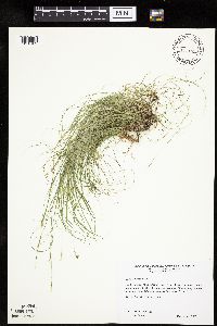
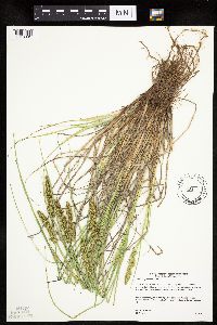
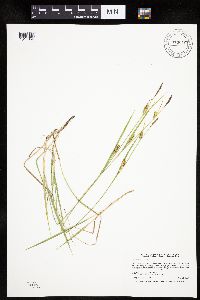
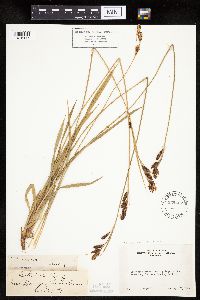
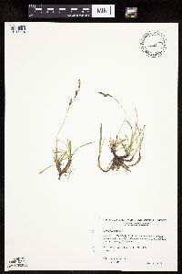
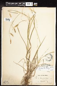
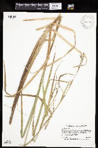
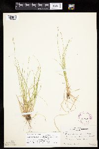
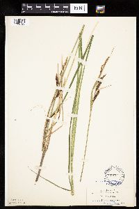
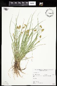
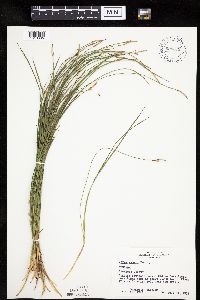
MIN:Plants | Carex granularis Muhlenberg ex Willdenow 489185[1010910]Gerdes, Lynden 46832003-06-09 United States, Minnesota, Lake, Superior National Forest. T61 R10W S32SENW Lake County ... Superior National Forest. Baird Station area; approximately 15.19 miles NW of Isabella, MN and 0.11 miles N of Tony Lake.. 061N 10W 32, 47.726203 -91.63027 |
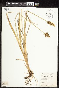
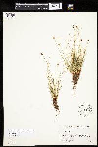
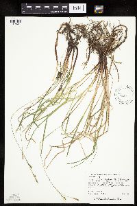
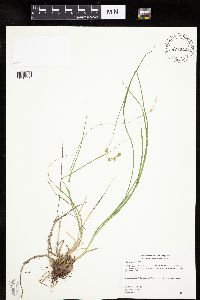
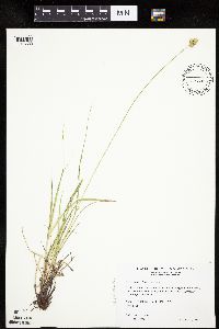
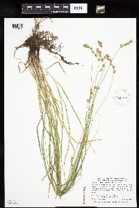
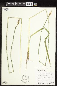
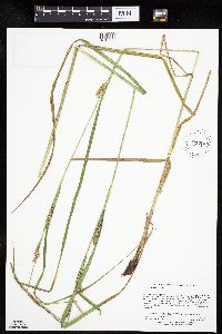
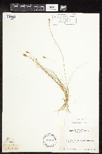
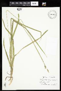
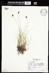
MIN:Plants | Carex nardina Fries 400806[1013728]Spetzman, L. 6201948-07-11 United States, Alaska, Arctic North Slope ... Lake Peters;Arctic National Wildlife Refuge;;;, 69.3333333 -145, 1067m |
MIN:Plants | Carex echinodes (Fernald) Rothrock, Reznicek & Hipp 921298[1010320]Lee, Michael MDL33992003-06-13 United States, Minnesota, Todd, Todd County...east of Sauk Lake, five miles northeast of Sauk Centre...east side of (Higgins) Long Lake...T127N R33W NW1/4 of NE1/4 Sec. 19. 127N 33W 19, 45.795946 -94.881143 |
MIN:Plants | Carex pellita Willdenow 438949[1014518]Mason, Harriet; et al. NSP98-511998-06-06 United States, Minnesota, Rice, Nerstrand Woods State Park. SW corner of sec. 16 in Nerstrand Big Woods State Park. Central in the open area, north of west electric transformer almost up to the sight of house (lath stake).. 110N 19W 16, 44.34528 -93.10722 |
MIN:Plants | Carex eburnea Boott 511034[1010109]Wheeler, Gerald 200131999-06-12 United States, Minnesota, Nicollet, Nicollet County ... Ca. 2.5 mi. SW of St. Peter on Rte. 169, W of road ... SW1/4 Sec. 31 T110N R26W;;110N;26W;31, 44.287368 -93.992079 |
MIN:Plants | Carex stipata Muhlenberg ex Willdenow 79618[1118181]Elmer, A.D.E. 27051900-08-00 United States, Washington, Clallam, Olympic Mts. [Olympic National Park] |
MIN:Plants | Carex crinita var. crinita Lamarck 917106[1009026]Gerdes, Lynden 45772002-07-22 United States, Minnesota, Lake, Superior National Forest. T56N R10W S24NENE. Lake County, MN. Approximately 22 miles NE of Two Harbors, MN. South side of FR 107 about 0.7 miles west of Water Tank Lake.. 056N 10W 24, 47.321629 -91.547393 |
MIN:Plants | Carex buxbaumii Wahlenberg 440450[1109263]Schik, K. 96-571995-08-14 United States, Minnesota, Polk, Polk County...T149N R45W NW1/4 of the SE1/4 of S36...Pembina Trail Nature Conservancy Preserve.;Pembina Trail Preserve Scientific Natural Area;149N;45W;36, 47.680283 -96.362694 |
MIN:Plants | Carex michauxiana Boeckeler 914196[1013590]Walton, G. United States, Minnesota, Cook, Detailed locality information protected. This is typically done to protect rare or threatened species localities. |
MIN:Plants | Carex vulpinoidea Michaux 493817[1018301]Gerdes, Lynden 48822004-07-22 United States, Minnesota, Lake, Superior National Forest. T60N R11W S02NESW. Lake County...Superior National Forest. Approximately 16.95 miles NW of Isabella, MN and 0.52 miles SW of Denley Lake near juncture of old and new FR 424.. 060N 11W 2, 47.712334 -91.686543 |
MIN:Plants | Carex NULL 904469[1106835]Lawrence, Donald s.n.1953-08-18 United States, Alaska, Glacier Bay National Monument, Camp Muir.;Glacier Bay National Park;;;, 58.797428 -136.838127 |
MIN:Plants | Carex brevior (Dewey) Mackenzie ex Lunell 455769[1007849]Wheeler, Gerald 159721997-06-07 United States, Minnesota, Nicollet, Nicollet Co.; Ca. 4 mi. SE of Fort Ridgely State Park on Rte. 21; NW1/4 SE1/4 SW1/4 Sec. 15 T111N R32W (Ridgely 15);;111N;32W;15, 44.420061 -94.674297 |
MIN:Plants | 546065[1008514]Scoggan, H.; Baldwin, W.K.W. 82881950-08-10 Canada, Manitoba, Duck Lake (southeast arm of Nejanilini Lake) ... at Hudson's Bay Co. post.;;;;, 59.3666667 -97.7666667 |
MIN:Plants | Carex projecta Mackenzie 528260[1015162]Garton, C. 20901952-08-12 Canada, Ontario, Thunder Bay, Thunder Bay District...North bank of Pigeon River on Highway 61, 5-1/2 miles east of Pigeon River Bridge Stuart Location |
MIN:Plants | Carex interior L.H. Bailey 430309[1011972]Lee, Michael MDL16771997-06-03 United States, Minnesota, Stearns, Stearns Co.; Along the Sauk River 3/4 mile west of Rockville; T123N R29W NE1/4 of NW1/4 Sec. 7, SE1/4 of SE1/4 of of SW1/4 Sec. 8. 123N 29W , 45.45742 -94.322478 |
MIN:Plants | Carex tetanica Schkuhr 913019[1017356]Smith, Welby 244291994-06-21 United States, Minnesota, Sherburne, Sand Prairie Wildlife Management Area. Sherburne County...Sand Prairie State Wildlife Management Area; about one mile east of the municipal boundaries of St. Cloud...T 35N R 30W NE1/4 of SW1/4 Section 4. 035N 30W 4, 45.55 -94.0811111 |
MIN:Plants | Carex michauxiana Boeckeler 916516[1013582]Anderson, Chel United States, Minnesota, Cook, Detailed locality information protected. This is typically done to protect rare or threatened species localities. |
MIN:Plants | Carex woodii Dewey 431810[1018537]Carlson, Bruce 010022001-05-17 United States, Minnesota, Aitkin, Wealthwood State Forest. Aitkin County...2 miles west of Wealthwood, 1/4 mile north of Hwy. 18, 20 meters east of Wealthwood Forest Rd.... T045N R27W SWSWSE24. 045N 27W 24, 46.366737 -93.697437 |
MIN:Plants | Carex backii W. Boott 909239[1007274]Gerdes, Lynden; et al. 55552008-06-17 United States, Minnesota, Cook, Superior National Forest. T62N R02W S11SENESESW. Cook County, MN. Superior National Forest. Vicinity of the Eagle MT. parking lot, approximately 12.44 miles NW of Grand Marais, MN. Southeast of the FR 170 and FR 158 junction.. 062N 02W 11, 47.8619444 -90.5441667 |
MIN:Plants | 400793[1016058]Spetzman, L. United States, Alaska, Detailed locality information protected. This is typically done to protect rare or threatened species localities. |
MIN:Plants | Carex arcta Boott 476767[1006868]Gerdes, Lynden 29541998-07-17 United States, Minnesota, Cook, Boundary Waters Canoe Area Wilderness / Superior National Forest. T64N R03E S03NENW. Cook County ... Superior National Forest, BWCAW. Northwest end of portage between John Lake and the Royal River; north side of portage.. 064N 03E 3, 48.061962 -90.043382 |
MIN:Plants | Carex scoparia var. scoparia Schkuhr ex Willdenow 914505[1016113]Rowe, Erika ERR2482007-06-26 United States, Minnesota, Hubbard, Badoura State Forest. Hubbard County...1.5 miles east of State Hwy 64; 3.85 miles NW of Oshawa; in Badoura SF...in powerline cut/ATV trail...T139N R32W NWNE S23. 139N 32W 23, 46.8472222 -94.6902778 |
MIN:Plants | Carex prairea Dewey 473052[1014936]Lee, Michael MDL17411997-06-19 United States, Minnesota, Stearns, Stearns Co.; Tamarack Lake Wildlife Management Area three miles south of Brooten; T123N R35WSE1/4 of SE1/4 Sec. 18;Tamarack Wildlife Management Area;123N;35W;18, 45.462969 -95.121269 |
MIN:Plants | Carex scoparia var. scoparia Schkuhr ex Willdenow 896971[1016114]Smith, Welby 156791989-07-11 United States, Minnesota, Kanabec, Mille Lacs Wildlife Management Area. Kanabek [sic] County...Mille Lacs State Wildlife Management Area, about 9 miles NW of Mora...SW1/4 SW1/4 section 16 T 40N R 25W. 040N 25W 16, 45.956437 -93.463107 |
MIN:Plants | Carex NULL 233140[1106844]Congdon, J. s.n.1898-08-03 United States, California, Mariposa, ChilnualnaTrail, Mariposa County;Yosemite National Park |
MIN:Plants | Carex diandra Schrank 921318[1109666]Lee, Michael MDL34052003-06-18 United States, Minnesota, Todd, Todd County...seven miles northeast of Eagle Bend...east of County Ditch #25...T132N R34W SE1/4 of NW1/4 Sec 24, SE1/4 of SW1/4 Sec. 24. 132N 34W 24, 46.230558 -94.905272 |
MIN:Plants | Carex spectabilis Dewey 234427[1016417]Congdon, J. s.n.1899-08-27 United States, California, Tuolumne, Cathedral Brook, Soda Springs of the Tuolumne, Tuolumne County;Yosemite National Park |
MIN:Plants | Carex pellita Willdenow 431830[1113335]Schik, K. 95-801995-08-16 United States, Minnesota, Norman, Norman County...T144N R45W NW1/4 of the SW1/4 of S33...Sandpiper Prairie Scientific and Natural Area.;Sandpiper Prairie Scientific Natural Area;144N;45W;33, 47.245458 -96.396186 |
MIN:Plants | Carex foenea Willdenow 482303[1010552]Gerdes, Lynden 40502000-07-13 United States, Minnesota, Lake, T57N R08W S26SWNW. Lake County; Approx. 3.5 miles SW of Finland. Cliff feature on the south side of Hockamin Creek.;Superior National Forest;057N;08W;26, 47.393246 -91.310768 |
MIN:Plants | Carex pellita Willdenow 904543[1014496]Smith, Welby 261791996-06-25 United States, Minnesota, Sherburne, Sand Prairie Wildlife Management Area. Sherburne County...Sand Prairie State Wildlife Management Area, about 2 miles east of St. Cloud...T35N R30W NE1/4 of SW1/4 of Sec 4. 035N 30W 4, 45.55 -94.0811111 |
MIN:Plants | 916986[1018119]Gerdes, Lynden 58692009-08-11 United States, Minnesota, Cook, Superior National Forest. T63N R01E S05NWNESENE. Cook County, MN. Superior National Forest. Approximately 1.19 miles northeast of Lullaby Lake and 0.53 miles southwest of the Gunflint Trail...NAD 83 / 698387 / 5316578. 063N 01E 5, 47.9716667 -90.3419444 |
MIN:Plants | Carex richardsonii R. Brown 511417[1015524]Wheeler, Gerald 185521998-05-09 United States, Minnesota, Yellow Medicine, Yellow Medicine County ... Ca. 9.5 mi. NW of Canby; Florida Prairie ... N1/2 NW1/4 SE1/4 Sec. 18 T115N R46W (Florida 18);Mound Springs Prairie Scientific Natural Area;115N;46W;18, 44.769075 -96.44607 |
MIN:Plants | Carex molesta Mackenzie ex Bright 511474[1013633]Wheeler, Gerald 188381998-06-04 United States, Minnesota, Sibley, Ca. 1 mi. WSW of jct. of Rte. 25 and Rte. 6. NW1/4 NW1/4 of section;;114N;25W;36, 44.632945 -93.776858 |
MIN:Plants | 426932[1016039]Schik, K. United States, Minnesota, Polk, Detailed locality information protected. This is typically done to protect rare or threatened species localities. |
MIN:Plants | Carex novae-angliae Schweinitz 438180[1013782]Gerdes, Lynden United States, Minnesota, Lake, Detailed locality information protected. This is typically done to protect rare or threatened species localities. |
MIN:Plants | Carex sparganioides Muhlenberg ex Willdenow 459904[1016352]Biederman, L. 4202000-07-15 United States, Minnesota, Goodhue, Goodhue Co.; Grace Nature Preserve; T109N R18W NWSW08;Grace Nature Preserve, The Nature Conservancy;109N;18W;8, 44.262012 -93.010544 |
MIN:Plants | Carex aquatilis Wahlenberg 484280[1106901]Mensing, D. 96-11081995-08-01 United States, Minnesota, Clearwater, Clearwater Co, T144N R36W SW1/4 of the SW1/4 of S29...floodplain of Sucker Creek;;144N;36W;29, 47.260555 -95.265258 |
MIN:Plants | Carex rotundata Wahlenberg 539752[1015828]Viereck, Les 16271956-07-31 United States, Alaska, Mt. McKinley Nat. Park ... Vicinity of Wonder Lake;Denali National Park;;;, 63.4500008 -150.8333282, 579m |
MIN:Plants | Carex novae-angliae Schweinitz 485989[1013805]Rand, Edward United States, Maine, Hancock, Detailed locality information protected. This is typically done to protect rare or threatened species localities. |
MIN:Plants | Carex hirtifolia Mackenzie 913914[1011467]Smith, Welby 227991993-07-09 United States, Minnesota, Faribault, Fairbault [sic] County...On the south side of Interstate 90, about 1 mile northwest of Blue Earth...along Blue Earth River...T 102N R 27W SE1/4 of SW1/4 Section 6. 102N 27W 6, 43.6597222 -94.1186111 |
MIN:Plants | Carex duriuscula C.A. Meyer 477025[1109742]Wheeler, Gerald 199521999-06-10 United States, Minnesota, Cottonwood, Cottonwood County ... Ca. 7.5 mi. NE of Jeffers; Jeffers Petroglyph Historic Site ...N1/2 NW1/4 NW1/4 Sec.9 T107N R35W;Jeffers Petroglyphs Historical Site;107N;35W;9, 44.086452 -95.049966 |
MIN:Plants | Carex jonesii L.H. Bailey 232752[1110533]Congdon, J. s.n.1894-08-15 United States, California, Tuolumne, Soda Springs, Tuolumne County;Yosemite National Park |
MIN:Plants | Carex sprengelii Dewey ex Sprengel 77949[1118149]Hollinshead, C. 31 United States, Wisconsin, Polk, Osceola;Saint Croix National Riverway;;;, 45.32052 -92.70493 |
MIN:Plants | Carex echinodes (Fernald) Rothrock, Reznicek & Hipp 903698[1010261]Smith, Welby 295832006-06-11 United States, Minnesota, Dakota, Dakota County...In Lebanon Hills Regional Park...T27N R23W NW1/4 of NW1/4 of Sec 35;Lebanon Hills County Park;027N;23W;35, 44.7875 -93.1433333 |
MIN:Plants | Carex jamesii Schweinitz 818101[1012278]McNeilus, V. United States, Tennessee, Blount, Detailed locality information protected. This is typically done to protect rare or threatened species localities. |
MIN:Plants | Carex foenea Willdenow 488096[1010583]Zager, S.; et al. 301999-05-05 United States, Minnesota, Kanabec, Kanabec County...along Snake River. Lower Snake River Falls near portage. South facing cliff 3 meters above water's edge. T042N R23W NE1/4 of SE1/4 of NW1/4 of Section 15. NAD27...MCBS Site KA045.. 042N 23W 15, 46.1241667 -93.2336111 |
MIN:Plants | Carex media R. Brown ex Richardson 490677[1013494]Gerdes, D. Lawson United States, Minnesota, Cook, Detailed locality information protected. This is typically done to protect rare or threatened species localities. |
MIN:Plants | Carex nebrascensis Dewey 447790[1118812]Bright, R. 73-2791973-00-00 United States, Idaho, Bannock, [no further data] |
MIN:Plants | Carex albursina E. Sheldon 912993[1006607]Smith, Welby 241241994-05-20 United States, Minnesota, Wabasha, Wabasha County... On the south side of Spring Creek, about 1.5 miles east of West Albany... T110N R12W NE1/4 of SE1/4 of Sec 28.. 110N 12W 28, 44.3011111 -92.2508333 |
MIN:Plants | Carex laxiculmis var. copulata (L.H. Bailey) Fernald 472642[1012701]Lee, Michael United States, Minnesota, Fillmore, Detailed locality information protected. This is typically done to protect rare or threatened species localities. |
MIN:Plants | Carex assiniboinensis W. Boott 454365[1106964]Lee, Michael MDL15241996-08-30 United States, Minnesota, Mille Lacs, Mille Lacs County ... On the east side of (Lake) Mille Lacs 3.5 miles north of Isle along HWY 47 ... between the highway and the lake ... T43N R25W NE1/4 SW1/4 SW1/4 Sec.22. 043N 25W 22, 46.190539 -93.482493 |
MIN:Plants | 489497[1010224]Gerdes, Lynden 48682004-07-14 United States, Minnesota, Lake, Superior National Forest. T58N R09W S29NWNES. Lake County...Superior National Forest. Approximately 11.25 miles SW of Isabella, MN and ~0.11 mile south of the State FR.. 058N 09W 29, 47.480222 -91.502019 |
MIN:Plants | Carex leptalea Wahlenberg 435702[1110723]Smith, Michael 4481997-08-02 United States, Minnesota, Koochiching, Voyageurs National Park. Koochiching Co.; Plot name: Voya 63 DNR #7252; Tom Cod Peatland;Voyageurs National Park;069N;22W;02, 48.4680557 -93.1280518 |
MIN:Plants | Carex richardsonii R. Brown 476929[1015527]Wheeler, Gerald 187001998-05-22 United States, Minnesota, Chippewa, Chippewa County ... Ca. 1.5 mi. NW of Granite Falls on Palmer Creek road, E of road...S1/2 SW1/4 NE1/4 Sec.28 T116N R39W;;116N;39W;28, 44.821238 -95.557534 |
MIN:Plants | Carex stipata var. stipata Muhlenberg ex Willdenow 431667[1016809]Rowe, Erika ERR72004-06-23 United States, Minnesota, Becker, Becker County...Leitheiser Lake WPA; 2 miles east of Detroit Lakes; 3/4 mile south of State Hwy 34...T139N R41W NENE36;Leitheiser Lake Wildlife Management Area;139N;41W;36, 46.810955 -95.806294 |
MIN:Plants | Carex merritt-fernaldii Mackenzie 493920[1007886]Gerdes, Lynden 44042001-07-13 United States, Minnesota, Lake, Silver Bay, MN. Approximately 0.20 mile SE of Bean Lake. NESW of section;North Shore / Tettegouche State Park;056N;08W;25, 47.307532 -91.293146 |
MIN:Plants | Carex magellanica subsp. irrigua (Wahlenburg) Hiitonen 896916[1013366]Smith, Welby 293222002-06-28 United States, Minnesota, Ramsey, Ramsey County...just south of Sucker Lake...T 30N R 22 SW1/4 of SE1/4 of Sec 19;Snail Lake Vadnais Lake County Park;030N;22W;19, 45.071981 -93.096493 |
MIN:Plants | Carex lacustris Willdenow 912426[1012311]Smith, Welby 230901993-07-22 United States, Minnesota, Carver, At the northwest end of Lake St. Joe, about 2 mi north of Chaska. NE1/4 of NE1/4 of Sec;;116N;23W;07, 44.875 -93.625 |
MIN:Plants | Carex stipata var. stipata Muhlenberg ex Willdenow 453873[1118262]Anderson, Craig 9922000-07-11 United States, Minnesota, Becker, 1/4 [sic] of SW1/4 of NE1/4 of section;Pederson Waterfowl Area / White Earth Indian Reservation;142N;41W;29, 47.085994 -95.900998 |
MIN:Plants | Carex emoryi Dewey 511491[1109861]Wheeler, Gerald 188641998-06-05 United States, Minnesota, Scott, Scott County ... Ca. 1.5 mi. N of Jordan on Rte. 9, E of road ... Minnesota River ... N1/2 SW1/4 SW1/4 Sec. 7 T114N R23W;Minnesota Valley National Wildlife Refuge;114N;23W;7, 44.694137 -93.630874 |
MIN:Plants | Carex lasiocarpa subsp. americana (Fernald) Hultén 896890[1012630]Haferman, J. 3091996-09-22 United States, Minnesota, Scott, Approximately 0.25 miles east of State Highway 13 and 0.5 miles south of County Road 42. Site lies directly under transmission lines. SW of NW of section;;115N;21W;20, 44.753698 -93.369033 |
MIN:Plants | Carex brunnescens subsp. sphaerostachya (Tuckerman) Kalela 262153[1008229]Rosendahl, C. 48011925-05-23 United States, Wisconsin, Polk, St. Croix Falls;Saint Croix National Riverway;;;, 45.4119 -98.6389 |
MIN:Plants | Carex laeviconica Dewey 907185[1012503]Lee, Michael; et al. MDL37602004-07-30 United States, Minnesota, Morrison, MORRISON COUNTY...Along the Mississippi river 2-1/2 miles west-northwest of Royalton...outermost portions of MacDougall Island...T127N R29W NE1/4 of SE1/4 Sec. 5; T39N R32W SE1/4 of SE1/4 Sec. 29. , 45.793206 -94.347429 |
MIN:Plants | 491227[1012550]Lee, Michael United States, Minnesota, Fillmore, Detailed locality information protected. This is typically done to protect rare or threatened species localities. |
MIN:Plants | Carex leptonervia (Fernald) Fernald 905462[1012949]Gerdes, Lynden 47872003-07-22 United States, Minnesota, Lake, Superior National Forest. T60N R06W S31SENW. Lake County...Superior National Forest. Hogback Lake area. Approx. 10.12 miles ENE of Isabella, MN and 0.16 mile NE of Lupus Lake.. 060N 06W 31, 47.637629 -91.139643 |
MIN:Plants | Carex vaginata Tausch 914551[1018062]Lee, Michael MDL39672005-06-14 United States, Minnesota, Becker, Two Inlets State Forest. Becker County...Two Inlest State Forest...wetland complex on southwest side of Two Inlets Lake, two miles south of Two Inlets...T141N R36W SE1/4 of SE1/4 Sec. 15; NE1/4 of NE1/4 Sec. 22. 141N 36W 0, 47.021511 -95.233292 |
MIN:Plants | Carex nudata W. Boott 75311[1006723]Cusick, W. 27291901-08-07 United States, Oregon, Lake, Silver Creek |
MIN:Plants | Carex illota L.H. Bailey 233194[1110323]Congdon, J. s.n.1891-07-22 United States, California, Mariposa, Elam Place ... Glacier Point Road, Mariposa County;Yosemite National Park |
MIN:Plants | Carex cephaloidea (Dewey) Dewey 461044[1008553]Biederman, L. 4212000-06-26 United States, Minnesota, Rice, Rice County...Straight River Nature Conservancy Preserve...T109N R20 SWSE05;Straight River Preserve, The Nature Conservancy;109N;20W;05, 44.276144 -93.252461 |
MIN:Plants | Carex pedunculata Muhlenberg ex Willdenow 349085[1014362]Rosendahl, C.; et al. 29571935-05-05 United States, Wisconsin, Pierce, east side of Mississippi River, across from Hastings, Minnesota, Pierce Co.;Saint Croix National Riverway;;;, 44.746717 -92.796078 |
MIN:Plants | Carex scabrata Schweinitz 795941[1016073]McNeilus, V. 88-3181988-05-20 United States, North Carolina, Swain, Swain County ... GSMNP; about 200 yds upsteam [sic] from Mingos Mill.;Great Smoky Mountains National Park |
MIN:Plants | Carex richardsonii R. Brown 455606[1015523]Juhnke, C. 151 CMJ FRO1999-04-14 United States, Minnesota, Goodhue, Frontenac State Park Goodhue County ... Top edge of Rattlesnake Bluff ... T112N R13W NW SW NW 5;Frontenac State Park;112N;13W;05, 44.535196 -92.399973 |
MIN:Plants | Carex disperma Dewey 222031[1109741]Rosendahl, C.; Butters, F. s.n.1920-06-19 United States, Wisconsin, Polk, St. Croix Falls, Polk County;Saint Croix National Riverway;;;, 45.426173 -92.644787 |
MIN:Plants | Carex meadii Dewey 510447[1013459]Wheeler, Gerald 187021998-05-22 United States, Minnesota, Chippewa, Chippewa County ... Ca. 1.5 mi. NW of Granite falls on Palmer Creek road, E of road ... S1/2 SW1/4 NE1/4 Sec. 28 T116N R39W (Granite Falls 28). 116N 39W 28, 44.821238 -95.557534 |
MIN:Plants | Carex projecta Mackenzie 480791[1009093]Gerdes, Lynden; Gale, Peg 30341998-07-28 United States, Minnesota, Cook, Stream/drainage area north of the western portion of John Lake; at the far northwest end of "Y" in stream. NENW of section;Boundary Waters Canoe Area Wilderness / Superior National Forest;065N;03E;33, 48.071844 -90.06797 |
MIN:Plants | Carex arctata Boott 914189[1006924]Lee, Michael MDL40632005-08-10 United States, Minnesota, Becker, Becker County...moraine west of Little Dinner Lake, northwest of Hungry Man Lakes, two miles north of Two Inlets... T142N R36W NW1/4ofSE1/4ofSE1/4 Sec. 27; NE1/4ofSW1/4ofSE1/4 Sec. 27. 142N 36W 27, 47.087081 -95.223498 |
MIN:Plants | Carex gracillima Schweinitz 472826[1010706]Lee, Michael MDL12231996-06-03 United States, Minnesota, Wabasha, Dorer Memorial Hardwood State Forest. Wabasha Co.; Valley fo West Indian Creek 5 miles NNE of Plainview; along base of 230ft, north-facing slope. At mouth of large tributary valley entering from the east; T109N R11W SW1/4 NW1/4 NE1/4 Sec. 21. 109N 11W 21, 44.229394 -92.13969 |
MIN:Plants | Carex crawfordii Fernald 904354[1008975]Gerdes, Lynden 54342007-06-22 United States, Minnesota, Lake, Superior National Forest. T60N R09W S26NWSESW Lake County ... Superior National Forest. Fish Fry Lake approximately 4.68 miles NW of Isabella ... NE of boat landing.. 060N 09W 26, 47.653543 -91.438022 |
MIN:Plants | Carex scoparia var. scoparia Schkuhr ex Willdenow 428384[1016179]Scott, P. 19832005-08-30 United States, Minnesota, Lake, LAKE CO ... Makwa Lake, BWCAW. T64N R6W sec.27 NENENE.;Boundary Waters Canoe Area Wilderness / Superior National Forest;064N;06W;27, 47.998337 -91.077576 |
MIN:Plants | Carex scoparia Schkuhr ex Willdenow 486018[1016212]Rand, Edward s.n.1891-06-26 United States, Maine, Hancock, Mount Desert Island ... Town Hill |
MIN:Plants | 555484[1008519]Moir, D. 14921952-08-16 Canada, Ontario, Kenora, between beach ridges east of river, about one mile south of coast ... Vicinity of the mouth of the Severn River |
MIN:Plants | Carex praticola Rydberg 521880[1015049]Cooper, William United States, Wyoming, Park, Detailed locality information protected. This is typically done to protect rare or threatened species localities. |
MIN:Plants | Carex viridula Michaux 680163[1018269]Coffin, Barbara 3101976-07-10 United States, Wisconsin, Ashland, Presque Isle Point, Stockton Island, Apostle Islands National Lakeshore;Apostle Islands National Lakeshore;;;, 46.916326 -90.548792 |
MIN:Plants | Carex crawfordii Fernald 454669[1008952]Gerdes, Lynden; et al. 28101998-07-02 United States, Minnesota, Cook, T65N R02E S30NESW Cook County ... Superior National Forest, BWCAW. Portage/landing at west end of West Pike Lake;Boundary Waters Canoe Area Wilderness / Superior National Forest;065N;02E;30, 48.084969 -90.242588 |
MIN:Plants | Carex alopecoidea Tuckerman 910880[1006674]Smith, Welby 244721994-06-23 United States, Minnesota, Winona, Whitewater Wildlife Management Area. Winona County ... Beaver Creek Valley, in Whitewater State Wildlife Management Area, about 5 miles east of Plainview ... T108N R10W NE1/4 of SW1/4 of Sec 19. 108N 10W 19, 44.1430556 -92.0733333 |
MIN:Plants | Carex interior L.H. Bailey 477463[1011908]Smith, Welby 206801992-07-07 United States, Minnesota, Winona, Dorer Memorial Hardwood State Forest. Winona County ... About 2.5 miles east-northeast of Lewiston ... bluff along Garvin Brook ... T 106N R 8W SE1/4 of SW1/4 of Sec 8. 106N 08W 8, 43.9936104 -91.8125 |
MIN:Plants | Carex utriculata Boott in W.J. Hooker 505513[1017958]Gerdes, Lynden 48522004-06-24 United States, Minnesota, Lake, Superior National Forest. T60N R10W S28NESW Lake County ... Superior National Forest. Approximately 12.30 miles WNW of Isabella, MN along the shore of Little Wampus Lake.. 060N 10W 28, 47.654464 -91.608097 |
MIN:Plants | Carex oligosperma Michaux 909820[1013915]Lee, Michael MDL43652007-06-05 United States, Minnesota, Wadena, Wadena County ... Three miles west-southwest of Oylen ... T136N R33W S1/2 of SW1/4 of NE1/4 Sec.28, NW1/4 of SE1/4 Sec. 28 ... UTM: 5158515N 358003E. 136N 33W 28, 46.564794 -94.853431 |
MIN:Plants | Carex lacustris Willdenow 916041[1012325]Smith, Welby 224891993-06-18 United States, Minnesota, Grant, Grant County...On the south side of Ask Lake, about 1.5 miles east-southest of Ashby...T 130N R 41W NW1/4 of SW1/4 of Sec 12. 130N 41W 12, 46.0847222 -95.7886111 |
MIN:Plants | Carex trisperma Dewey 921174[1017551]Lee, Michael MDL34672003-07-16 United States, Minnesota, Todd, Todd County...5 miles northeast of Eagle Bend...east of the Partridge River...T132N R34W E1/2 of SW1/4 of NE1/4 Sec 28;;132N;34W;28, 46.216094 -94.968319 |
MIN:Plants | Carex backii W. Boott 900997[1007238]Lee, Michael MDL39432005-06-09 United States, Minnesota, Becker, Two Inlets State Forest. Becker County...Two Inlets State Forest...on the north side of One Acre Lake, four miles south of Two Inlets...T141N R36W NE1/4 of SE1/4 of SW1/4 Sec. 26. 141N 36W 26, 46.99982 -95.201476 |
MIN:Plants | Carex geyeri Boott 698572[1010665]Wheeler, Gerald 27431978-07-31 United States, Montana, Flathead, Flathead County. Glacier National Park. Hidden Lake Trail, near Logan Pass;Glacier National Park, 2134m |
MIN:Plants | Carex duriuscula C.A. Meyer 482284[1010001]Wheeler, Gerald 159101997-06-06 United States, Minnesota, Brown, Brown Co.; Ca. 15 mi. NW of Sleepy Eye, 0.4 mi. NE of Rte. 10, Morgan Sportsman Club Recreation Area; SW1/4 NE1/4 SW1/4 Sec. 19 T112N R33W (Eden 19). 112N 33W 19, 44.48977 -94.857039 |
MIN:Plants | Carex novae-angliae Schweinitz 438245[1113014]Carlson, Bruce United States, Minnesota, Lake, Detailed locality information protected. This is typically done to protect rare or threatened species localities. |
MIN:Plants | Carex careyana Torrey ex Dewey 904590[1008528]Smith, Welby United States, Minnesota, Houston, Detailed locality information protected. This is typically done to protect rare or threatened species localities. |
MIN:Plants | Carex aenea f. extrapolata Butters & Abbe 538786[1000544]Butters, F.; et al. 1021938-07-11 United States, Minnesota, Cook, Cliff south of Rove Lake;Boundary Waters Canoe Area Wilderness / Superior National Forest;065N;01E;, 48.081055 -90.315189 |
MIN:Plants | Carex bigelowii Torrey ex Schweinitz 79782[1276136]Cornell Party, Peary Voyage s.n.1896-08-12 Greenland, Nugsuak Peninsula |
MIN:Plants | Carex cryptolepis Mackenzie 454610[1009230]Gerdes, Lynden; et al. 28731998-07-07 United States, Minnesota, Cook, Boundary Waters Canoe Area Wilderness / Superior National Forest. T65N R02E S26SWSW. Cook County ... Superior National Forest, BWCAW. North of portage ... between West Pike Lake and East Pike Lake.. 065N 02E 26, 48.085574 -90.154825 |
Google Map
Google Maps is a web mapping service provided by Google that features a map that users can pan (by dragging the mouse) and zoom (by using the mouse wheel). Collection points are displayed as colored markers that when clicked on, displays the full information for that collection. When multiple species are queried (separated by semi-colons), different colored markers denote each individual species.
