University of Minnesota
http://www.umn.edu/
612-625-5000
http://www.umn.edu/
612-625-5000
Minnesota Biodiversity Atlas
Bell Museum
Dataset: MIN-Plants
Taxa: Selaginellaceae
Search Criteria: excluding cultivated/captive occurrences
Bell Museum plants | |
 MIN:Plants | 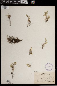 Selaginella rupestris (L.) Spring 352851[1383808]Nielsen, E. 17391932-09-25 United States, Minnesota, Chisago, At Franconia, Chisago Co.;;033N;19W;, 45.37 -92.691597 |
MIN:Plants | 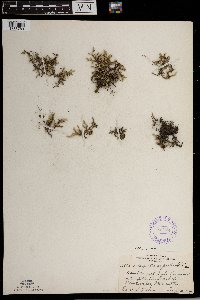 Selaginella rupestris (L.) Spring 353181[1383783]Nielsen, E. 28831934-08-15 United States, Minnesota, Chippewa, About 20 ft high [on outcrop]; 1 mi S of Montevideo;;117N;40W;, 44.930893 -95.722264 |
MIN:Plants | 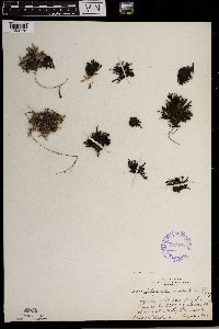 Selaginella rupestris (L.) Spring 353182[1383775]Nielsen, E. 28911934-08-15 United States, Minnesota, Yellow Medicine, Beside Minnesota River, 1 mi S of Granite Falls;;N;;, 44.801019 -95.545301 |
MIN:Plants | 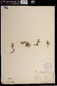 Selaginella rupestris (L.) Spring 355772[1383786]Sandberg, John s.n.1889-06-00 United States, Minnesota, Winona, Winona;;N;;, 44.0333 -91.6333 |
MIN:Plants | 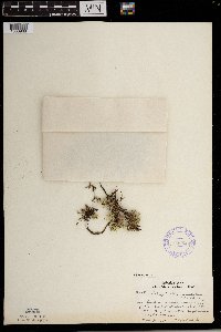 Selaginella rupestris (L.) Spring 356649[1383968]Lakela, Olga 34001939-11-30 United States, Minnesota, Lake, Great Palisades, 65 mi N of Duluth, Hwy.61, Lake Co.;North Shore / Palisade Head;056N;07W;22, 47.319363 -91.216275 |
MIN:Plants | 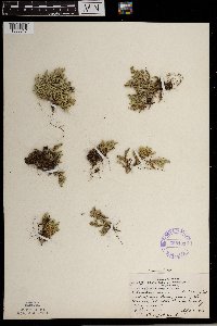 Selaginella rupestris (L.) Spring 358131[1383817]Rosendahl, C.; et al. 69941938-09-05 United States, Minnesota, Lake of the Woods, Just E of Long Point, Lake of the Woods, Lake of the Woods Co.;;164N;34W;, 48.975826 -94.970783 |
MIN:Plants | 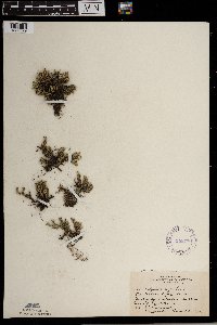 Selaginella rupestris (L.) Spring 358776[1383829]Rosendahl, C.; Butters, F. 67291936-08-31 United States, Minnesota, Carlton, Between Carlton and Scanlon, Carlton Co.;;N;;, 46.685182 -92.428246 |
MIN:Plants | 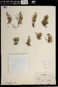 Selaginella rupestris (L.) Spring 358795[1383912]Hotchkiss, N. s.n.1930-09-06 United States, Minnesota, Wadena, 2 mi NE of Staples, Wadena Co.;;N;;, 46.462932 -95.106426 |
MIN:Plants | 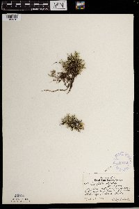 Selaginella rupestris (L.) Spring 360434[1383970]Lakela, Olga 34001939-11-30 United States, Minnesota, Lake, Great Palisades, 65 mi N of Duluth, Hwy.61, Lake Co.;North Shore / Palisade Head;056N;07W;22, 47.319363 -91.216275 |
MIN:Plants | 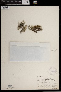 Selaginella rupestris (L.) Spring 361020[1383828]Lakela, Olga 34311940-05-20 United States, Minnesota, Carlton, At Thomson, St. Louis River Gorge, Carlton Co.;;N;;, 46.663554 -92.397969 |
MIN:Plants | 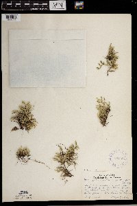 Selaginella rupestris (L.) Spring 362155[1383955]Lakela, Olga 38591940-08-01 United States, Minnesota, Saint Louis, On Hwy.53, about 1 mi S of Idington. St. Louis Co.;;N;;, 47.729098 -92.651502 |
MIN:Plants | 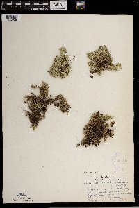 Selaginella rupestris (L.) Spring 362199[1383956]Lakela, Olga 39041940-08-03 United States, Minnesota, Saint Louis, On island in Crane Lake, near Chase's Lodge. St. Louis Co.;;N;;, 48.2833 -92.4667 |
MIN:Plants |  Selaginella rupestris (L.) Spring 366087[1383923]Rosendahl, C.; et al. 73651939-09-14 United States, Minnesota, Yellow Medicine, Minnesota valley, 1 mi S of Granite Falls, Yellow Medicine Co.;;;;, 44.801019 -95.545301 |
MIN:Plants |  Selaginella rupestris (L.) Spring 366175[1383922]Rosendahl, C. 64361938-07-10 United States, Minnesota, Scott, At Merriam Junction, Scott Co.;;N;;, 44.737778 -93.594167 |
MIN:Plants |  Selaginella rupestris (L.) Spring 366176[1383769]Rosendahl, C. 74051940-05-12 United States, Minnesota, Dakota, Along the hwy, abut 5 mi S of Pine Bend, Dakota Co.;;115N;18W;, 44.706724 -93.034936 |
MIN:Plants |  Selaginella rupestris (L.) Spring 366560[1383826]Rosendahl, C. 69271938-07-10 United States, Minnesota, Brown, SW Brown Co.;;N;;, 44.242138 -94.727582 |
MIN:Plants |  Selaginella rupestris (L.) Spring 366562[1383764]Rosendahl, C.; et al. 73391939-09-13 United States, Minnesota, Cottonwood, 9 mi S of Sanborn, along the creek, on detour, 1 mi W of Hwy.71, Cottonwood Co.;;;;, 44.07933 -95.128604 |
MIN:Plants |  Selaginella rupestris (L.) Spring 366635[1383790]Rosendahl, C. 71341939-06-11 United States, Minnesota, Houston, Riceford Creek valley, Houston Co.;Dorer Memorial Hardwood State Forest;102N;07W;, 43.634202 -91.70823 |
MIN:Plants |  Selaginella rupestris (L.) Spring 367267[1383813]Moore, John; Moore, Marjorie 103641938-08-29 United States, Minnesota, Lake of the Woods, Rapid River, Clementson, Lake of the Woods Co.;;N;;, 48.6833 -94.4333 |
MIN:Plants |  Selaginella rupestris (L.) Spring 367358[1383972]Moore, John; Moore, Marjorie 105471938-09-15 United States, Minnesota, Pipestone, 1/2 mi north of Pipestone, Pipestone County;;106N;46W;, 44.007768 -96.317534 |
MIN:Plants |  Selaginella rupestris (L.) Spring 367419[1383924]Moore, John; Moore, Marjorie 104961938-09-14 United States, Minnesota, Big Stone, About 1 mi S of Ortonville, Big Stone Co.;;N;;, 45.290207 -96.444779 |
MIN:Plants |  Selaginella rupestris (L.) Spring 370575[1383851]Rosendahl, C.; Moore, John 133681940-06-28 United States, Minnesota, Chippewa, 1/4 mi E of Montevideo, Chippewa Co.;;117N;40W;, 44.942457 -95.718522 |
MIN:Plants |  Selaginella rupestris (L.) Spring 370646[1383913]Moore, John; Moore, Marjorie 136971940-09-27 United States, Minnesota, Dakota, Castle Rock, Dakota Co.;;113N;19W;32, 44.550799 -93.126356 |
MIN:Plants |  Selaginella rupestris (L.) Spring 371027[1383846]Moore, John 130601940-06-19 United States, Minnesota, Renville, At Morton, Renville Co.;;113N;34W;, 44.55135 -94.984439 |
MIN:Plants | 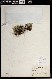 Selaginella rupestris (L.) Spring 371127[1383914]Moore, John 130701940-06-20 United States, Minnesota, Yellow Medicine, S side of Granite Falls, Yellow Medicine Co.;;N;;, 44.808253 -95.557591 |
MIN:Plants | 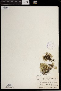 Selaginella rupestris (L.) Spring 371634[1383953]Lakela, Olga 48271941-08-19 United States, Minnesota, Saint Louis, Lake Vermilion near Soudan. St. Louis Co.;;N;;, 47.891581 -92.366824 |
MIN:Plants | 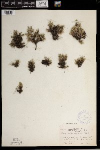 Selaginella rupestris (L.) Spring 372874[1383958]Moore, John; et al. 143531941-06-13 United States, Minnesota, Polk, 1 1/4 mi SW of Fertile, Polk Co.;;;;, 47.522428 -96.300547 |
MIN:Plants | 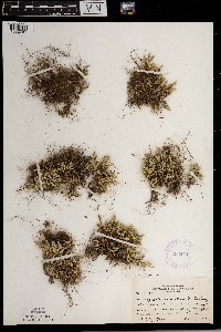 Selaginella rupestris (L.) Spring 383444[1383767]Moore, John; et al. 161861943-10-09 United States, Minnesota, Dakota, 1 mi SW of Hampton, Dakota Co.;;113N;18W;, 44.600003 -93.01654 |
MIN:Plants |  Selaginella rupestris (L.) Spring 385683[1383910]Rosendahl, C.; Butters, F. 77091944-09-21 United States, Minnesota, Rice, 4 mi N of Nerstrand village;;111N;19W;, 44.399841 -93.067988 |
MIN:Plants |  Selaginella rupestris (L.) Spring 387781[1383915]Moore, John; et al. 184521946-05-01 United States, Minnesota, Scott, Scott Co. 2 mi N of Jordan.;;114N;23W;, 44.693431 -93.612653 |
MIN:Plants |  Selaginella rupestris (L.) Spring 387782[1383926]Butters, F.; Moore, John 107901939-07-01 United States, Minnesota, Cook, Cook Co. On S die of John Lake, T64N R3E;Boundary Waters Canoe Area Wilderness / Superior National Forest;064N;03E;3, 48.063612 -90.046985 |
MIN:Plants |  Selaginella rupestris (L.) Spring 387783[1383812]Moore, John; Huff, N. 192601946-09-11 United States, Minnesota, Redwood, Redwood Co. 5 mi N of Belview;;114N;37W;, 44.677647 -95.329451 |
MIN:Plants | 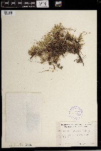 Selaginella rupestris (L.) Spring 387784[1383917]Moore, John 170771945-06-06 United States, Minnesota, Todd, Todd Co. 5 mi E of Staples.;;N;;, 46.355471 -94.687357 |
MIN:Plants | 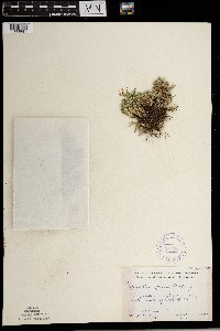 Selaginella rupestris (L.) Spring 387785[1383847]Moore, John; Huff, N. 179771945-07-25 United States, Minnesota, Morrison, Morrison Co. 6 mi E & 3 1/2 mi N of Little Falls;;N;;, 46.026962 -94.237498 |
MIN:Plants | 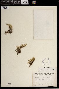 Selaginella rupestris (L.) Spring 387786[1383928]Schuster, R. s.n.1947-07-11 United States, Minnesota, Cook, Cook Co. Palisade between Watab Lake & Mountain Lake;Boundary Waters Canoe Area Wilderness / Superior National Forest;065N;01E;, 48.10737 -90.224172 |
MIN:Plants | 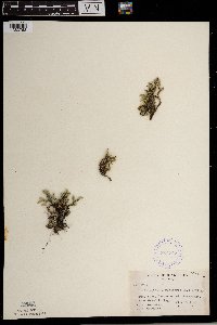 Selaginella rupestris (L.) Spring 387787[1383763]Schuster, R.; et al. 60011947-07-07 United States, Minnesota, Cook, Cook County...On Mt. Josephine, near Grand Portage;Grand Portage Indian Reservation / North Shore;064N;06E;34, 47.9667 -89.7667 |
MIN:Plants |  Selaginella rupestris (L.) Spring 387788[1383754]Huff, N. s.n.1941-09-01 United States, Minnesota, Yellow Medicine, Granite Falls;;N;;, 44.808497 -95.556905 |
MIN:Plants |  Selaginella rupestris (L.) Spring 387789[1383857]Dayton, E. s.n.1944-05-14 United States, Minnesota, Dakota, 1 mi S of Hampton, Dakota Co.;;N;;, 44.595763 -93.002156 |
MIN:Plants |  Selaginella rupestris (L.) Spring 387790[1383804]Schuster, R. s.n.1947-08-00 United States, Minnesota, Lake of the Woods, Lake of the Woods Co. Angle Inlet.;Northwest Angle;N;;, 49.346587 -95.047469 |
MIN:Plants |  Selaginella rupestris (L.) Spring 387791[1383909]Schuster, R.; et al. 60681947-07-06 United States, Minnesota, Cook, Cook Co. Mt. Rose, Grand Portage.;Grand Portage National Monument / North Shore;063N;06E;, 47.999682 -89.760688 |
MIN:Plants |  Selaginella rupestris (L.) Spring 387792[1383918]Schuster, R. s.n.1947-07-28 United States, Minnesota, Wadena, Wadena Co. N of Menagha;;138N;35W;, 46.774197 -95.11223 |
MIN:Plants |  Selaginella rupestris (L.) Spring 387793[1383927]Butters, F.; Abbe, E.; Abbe, L. 3981937-07-12 United States, Minnesota, Cook, Cook Co. NW corner of Clark's Bay, Pigeon Point, T64N R7E;Grand Portage Indian Reservation / North Shore;064N;07E;, 47.997942 -89.538143 |
MIN:Plants |  Selaginella rupestris (L.) Spring 387794[1383942]Butters, F.; Abbe, E. 1721936-06-29 United States, Minnesota, Cook, Top of Mt. Josephine. Grand Portage. T63N R6E. Cook Co. [actually T64];Grand Portage Indian Reservation / North Shore;064N;06E;34, 47.9833 -89.65 |
MIN:Plants |  Selaginella rupestris (L.) Spring 387795[1383929]Butters, F.; Abbe, E. 10441934-08-13 United States, Minnesota, Cook, Mt. Josephine, Grand Portage, T63N R6E. Cook Co. [actually T64];Grand Portage Indian Reservation / North Shore;T064N R06E S34, 47.9833 -89.65 |
MIN:Plants |  Selaginella rupestris (L.) Spring 387796[1383936]Butters, F.; Abbe, E.; Abbe, L. 2551937-07-04 United States, Minnesota, Cook, Cook Co. S side of Mountain Lake E of portage to Clearwater Lake;Boundary Waters Canoe Area Wilderness / Superior National Forest;065N;01E;, 48.10737 -90.224172 |
MIN:Plants |  Selaginella rupestris (L.) Spring 387797[1383925]Burns, G.; Hendrickson, M. 3191938-07-27 United States, Minnesota, Cook, Pigeon River gorge at foot of South Fowl Lake. Cook Co. T64N R3E;Pigeon River Cliffs, The Nature Conservancy / Superior National Forest;064N;03E;12, 48.010163 -89.708422 |
MIN:Plants |  Selaginella rupestris (L.) Spring 387798[1383935]Burns, G.; Hendrickson, M. 4001938-08-07 United States, Minnesota, Cook, Cook Co. On E side of Little Caribou Lake, T64N R1E;Superior National Forest;064N;01E;, 48.06827 -90.262717 |
MIN:Plants |  Selaginella rupestris (L.) Spring 407060[1383852]Lakela, Olga 95021949-08-28 United States, Minnesota, Saint Louis, Lake Kabetogama, near Park Point Resort, St. Louis Co.;Voyageurs National Park;N;;, 48.470908 -93.008801 |
MIN:Plants |  Selaginella rupestris (L.) Spring 412129[1383816]Moore, John; Moore, Marjorie 105931938-09-25 United States, Minnesota, Chisago, St. Croix River, 1 mi N of Taylors Falls, Chisago Co.;;N;;, 45.449921 -92.659405 |
MIN:Plants |  Selaginella rupestris (L.) Spring 412578[1383797]Moore, John; Moore, Marjorie 110441939-07-21 United States, Minnesota, Lake of the Woods, Lake of the Woods Co. 1 mi up from the mouth of Pine Creek, Angle Inlet, 3/4 of a mi W of the creek.;Northwest Angle;N;;, 49.346587 -95.047469 |
MIN:Plants |  Selaginella rupestris (L.) Spring 412859[1383849]Moore, John; Moore, Marjorie 116561939-08-12 United States, Minnesota, Koochiching, Koochiching Co. Growing in the vicinity of the Island View Hotel, T71, R22W, Sec.25; along the S shore for Rainy Lake;Voyageurs National Park;071N;22W;25, 48.599102 -93.377757 |
MIN:Plants |  Selaginella rupestris (L.) Spring 416671[1383950]Lakela, Olga 84851949-06-25 United States, Minnesota, Saint Louis, St. Louis Co. Ely-Finland road, White Iron Lake;Superior National Forest;N;;, 47.9 -91.8667 |
MIN:Plants | 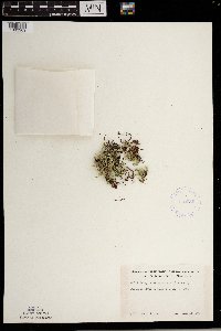 Selaginella rupestris (L.) Spring 419086[1383969]Ahlgren, Clifford 3191949-07-11 United States, Minnesota, Lake, Lake Co. Basswood River Portage, T65N, R10W;Boundary Waters Canoe Area Wilderness / Superior National Forest;065N;10W;00, 48.113783 -91.711237 |
MIN:Plants | 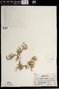 Selaginella rupestris (L.) Spring 419901[1383856]Lakela, Olga 117581950-08-25 United States, Minnesota, Saint Louis, On Iron Lake east of the Crooked Lake portage, St. Louis Co.;Boundary Waters Canoe Area Wilderness / Superior National Forest;066N;12W;06, 48.203274 -91.857461 |
MIN:Plants | 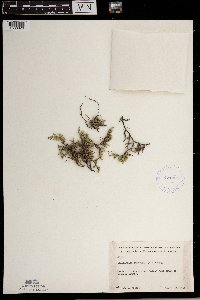 Selaginella rupestris (L.) Spring 421364[1383823]Jacobs, D. 5501948-08-13 United States, Minnesota, Blue Earth, Blue Earth Co. In Minn. River valley just S of LeSueur Co.;;N;;, 44.216467 -94.03408 |
MIN:Plants | 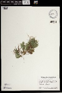 Selaginella rupestris (L.) Spring 427395[1383839]Smith, Welby 138241987-08-11 United States, Minnesota, Washington, Washington Co. Bayport State Wildlife Management Area, about 1 mi S of Bayport; NE1/4 SE1/4 sec.15, T29N R20W;Saint Croix Savanna Scientific Natural Area;029N;20W;15, 44.8738899 -92.7825012 |
MIN:Plants | 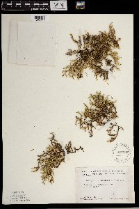 Selaginella rupestris (L.) Spring 437296[1383866]Moore, John; Moore, Marjorie 121201939-08-24 United States, Minnesota, Lake of the Woods, Lake of the Woods Co. At Clementson.;;N;;, 48.6833 -94.4333 |
MIN:Plants | 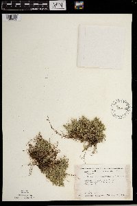 Selaginella rupestris (L.) Spring 437352[1383959]Moore, John; Moore, Marjorie 121921939-08-28 United States, Minnesota, Roseau, Roseau Co. 3 mi W of Warroad on Hwy.11.;;N;;, 48.905247 -95.380453 |
MIN:Plants | 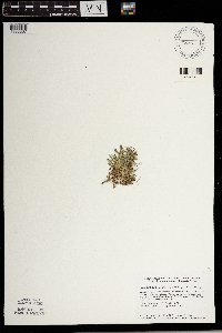 Selaginella rupestris (L.) Spring 440668[1383837]Smith, Welby 149451988-08-23 United States, Minnesota, Houston, Houston Co. About 4 mi E-SE of Rushford; SW1/4 NW1/4 sec.27, T104N R7W;;104N;07W;27, 43.7844429 -91.6694412 |
MIN:Plants | 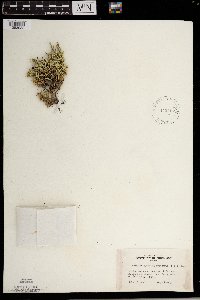 Selaginella rupestris (L.) Spring 442457[1383932]Lakela, Olga 132091951-07-13 United States, Minnesota, Saint Louis, Small island near Finger Bay, Rainy Lake, St. Louis Co.;Voyageurs National Park;N;;, 48.623498 -93.206383 |
MIN:Plants |  Selaginella rupestris (L.) Spring 442518[1383948]Lakela, Olga 133361951-07-18 United States, Minnesota, Saint Louis, Above Ash River at Frontier Lodge, the site of the Observation Tower, St. Louis Co.;Kabetogama State Forest;068N;19W;04, 48.41713 -92.789044 |
MIN:Plants |  Selaginella rupestris (L.) Spring 442519[1383802]Lakela, Olga 134331951-07-19 United States, Minnesota, Saint Louis, On Big Island, Namakan Lake, St. Louis Co.;Voyageurs National Park;N;;, 48.433517 -92.705646 |
MIN:Plants |  Selaginella rupestris (L.) Spring 443300[1383947]Lakela, Olga 128691951-06-28 United States, Minnesota, Saint Louis, Little Vermilion River, Minnesota-Ontario boundary, St. Louis Co.;Boundary Waters Canoe Area Wilderness / Superior National Forest;067N;16W;, 48.275739 -92.506548 |
MIN:Plants |  Selaginella rupestris (L.) Spring 444928[1383966]Moore, John; Huff, N. 185931946-06-12 United States, Minnesota, Koochiching, Koochiching Co. 2 mi east of International Falls;;071N;24W;, 48.601041 -93.367214 |
MIN:Plants | 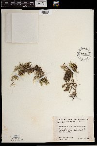 Selaginella rupestris (L.) Spring 446269[1383819]Moore, John; Huff, N. 188101946-07-31 United States, Minnesota, Benton, Benton Co. 5 mi NE of East St. Cloud;;N;;, 45.581998 -94.088094 |
MIN:Plants | 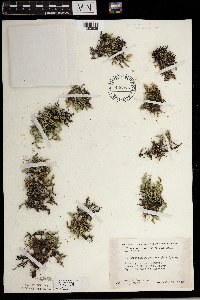 Selaginella rupestris (L.) Spring 446376[1383835]Moore, John; Huff, N. 187341946-07-17 United States, Minnesota, Pine, Pine Co. Kettle River, 3 1/4 mi E of Hinckley.;Kettle River Scientific Natural Area / Sandstone National Wildlife Refuge;N;;, 46.028988 -92.866196 |
MIN:Plants | 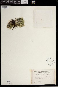 Selaginella rupestris (L.) Spring 462750[1383951]Lakela, Olga 148481952-07-10 United States, Minnesota, Saint Louis, St. Louis Co. An island in Rainy Lake, Cranberry Bay area;Voyageurs National Park;N;;, 48.623498 -93.206383 |
MIN:Plants | 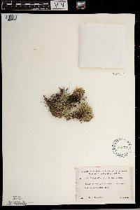 Selaginella rupestris (L.) Spring 462773[1383753]Lakela, Olga 150491952-07-15 United States, Minnesota, Saint Louis, St. Louis Co. S shore of Kabetogama Lake, opposite Pine Island;Voyageurs National Park;N;;, 48.470908 -93.008801 |
MIN:Plants | 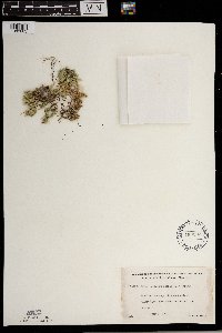 Selaginella rupestris (L.) Spring 463203[1383803]Lakela, Olga 147061952-07-08 United States, Minnesota, Saint Louis, St. Louis Co. Dryweed Island, Rainy Lake, NW corner of the county;Voyageurs National Park;N;;, 48.623498 -93.206383 |
MIN:Plants | Selaginella rupestris (L.) Spring 463324[]Lakela, Olga 145761952-07-08 United States, Minnesota, Saint Louis, St. Louis Co. Fox Island, Rainy Lake, international boundary, most N part of the county;Voyageurs National Park;071N;21W;, 48.625169 -92.962016 |
MIN:Plants | 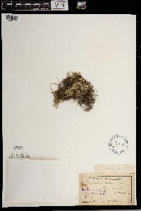 Selaginella rupestris (L.) Spring 469580[1383776]Ballard, C. B12701893-06-00 United States, Minnesota, Cass, Stony Brook [note alongside label says Cass Co.];;N;;, 46.522455 -94.35198 |
MIN:Plants | 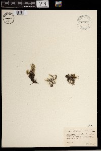 Selaginella rupestris (L.) Spring 482495[1383869]Abbott, Robinson s.n.1968-06-18 United States, Minnesota, Big Stone, Big Stone Co.; S. of Ortonville dump off route 75;;121N;46W;, 45.304577 -96.425936 |
MIN:Plants | 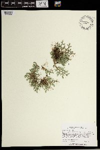 Selaginella rupestris (L.) Spring 484772[1383890]Lee, Michael MDL14911996-08-16 United States, Minnesota, Carlton, Carlton Co.; one mile east of Thomson; T48N R16W SE1/4 SW1/4 SW1/4 Sec. 4;;048N;16W;4, 46.66426 -92.381889 |
MIN:Plants | 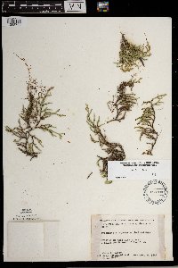 Selaginella rupestris (L.) Spring 488700[1383793]Moore, John; et al. 198641947-10-02 United States, Minnesota, Fillmore, Fillmore Co. 2 mi SW of Rushford;;104N;08W;, 43.78784 -91.78116 |
MIN:Plants | 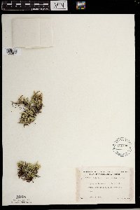 Selaginella rupestris (L.) Spring 491730[1383944]Lakela, Olga 169201953-09-01 United States, Minnesota, Saint Louis, St. Louis Co. Trout Lake portage, N of Vermilion Lake;Boundary Waters Canoe Area Wilderness / Superior National Forest;063N;16W;24, 48.4833 -92.8 |
MIN:Plants | 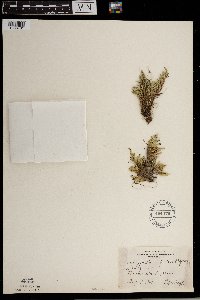 Selaginella rupestris (L.) Spring 494476[1383781]Huff, N. s.n.1941-08-18 United States, Minnesota, Beltrami, Black Duck;;N;;, 47.73346 -94.547623 |
MIN:Plants | 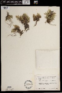 Selaginella rupestris (L.) Spring 497470[1383820]Moore, John 202581949-06-23 United States, Minnesota, Beltrami, Beltrami Co. 6 mi E of Lake Bemiji [sic];;N;;, 47.49674 -94.691835 |
MIN:Plants | 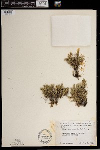 Selaginella rupestris (L.) Spring 497479[1383796]Moore, John 202081949-06-21 United States, Minnesota, Lake of the Woods, Lake of the Woods Co. At Long Point on Lake of the Woods;;164N;34W;, 48.977214 -94.959949 |
MIN:Plants | 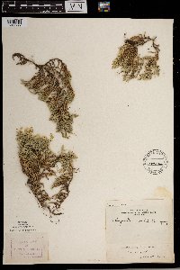 Selaginella rupestris (L.) Spring 499282[1383777]Roberts, Thomas s.n.1884-07-29 United States, Minnesota, Chisago, Taylors Falls;;N;;, 45.401187 -92.651766 |
MIN:Plants | 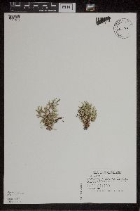 Selaginella rupestris (L.) Spring 519763[1311475]Smith, Welby 192111991-07-08 United States, Minnesota, Koochiching, Franz Jevne State Park. Koochiching County...Franz Jevne State Park, in the Rainy River Valley, about 2 miles northeast of Birchdale...T 160N R 27W SW1/4 of SW1/4 of sec 26. 160N 27W 26, 48.6427778 -94.0783333 |
MIN:Plants | 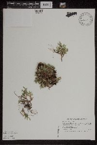 Selaginella rupestris (L.) Spring 520069[1311467]Smith, Welby 195121991-07-16 United States, Minnesota, Koochiching, Koochiching County...on the W side of Silverdale; granite outcrop...T64N R22W SW1/4 of NE1/4 of Sec 35;Koochiching State Forest;064N;22W;35, 47.9866676 -93.1188889 |
MIN:Plants | 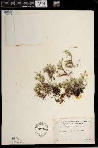 Selaginella rupestris (L.) Spring 527033[1383945]Lakela, Olga 181711954-08-13 United States, Minnesota, Saint Louis, St. Louis Co. On Saturday Bay, Crooked Lake;Boundary Waters Canoe Area Wilderness / Superior National Forest;066N;12W;, 48.203274 -91.857461 |
MIN:Plants | 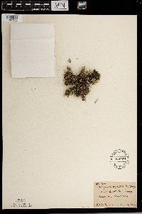 Selaginella rupestris (L.) Spring 536084[1383965]Anderson, W. 19031938-08-16 United States, Minnesota, Rock, Luverne;;N;;, 43.654136 -96.212807 |
MIN:Plants | 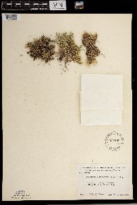 Selaginella rupestris (L.) Spring 550180[1383868]Moore, John 220731954-09-15 United States, Minnesota, Sherburne, Sherburne County...SE1/4 Sec.9, Palmer Twp.;;035N;29W;09, 45.5329 -93.946702 |
MIN:Plants | 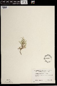 Selaginella rupestris (L.) Spring 553694[1383880]Mielke, Walter 571957-09-00 United States, Minnesota, Itasca, Itasca Co. Prairie Lake; 6 mi W of Coleraine;;N;;, 47.459027 -93.35159 |
MIN:Plants |  Selaginella rupestris (L.) Spring 55469[1383850]Butters, F.; et al. 40221921-06-17 United States, Minnesota, Chippewa, Granite Falls, Chippewa Co.;;116N;39W;, 44.792965 -95.544284 |
MIN:Plants |  Selaginella rupestris (L.) Spring 55534[1383962]Taylor, B. S15731892-08-00 United States, Minnesota, Chisago, Near St. Croix Falls;;N;;, 45.412456 -92.648418 |
MIN:Plants |  Selaginella rupestris (L.) Spring 55535[1383759]Lyon, H. 8121903-08-15 United States, Minnesota, Chippewa, Montevideo;;117N;40W;, 44.941389 -95.722222 |
MIN:Plants |  Selaginella rupestris (L.) Spring 55536[1383815]Sheldon, Edmund S14931891-08-00 United States, Minnesota, Pipestone, Pipestone;;106N;46W;, 44.000526 -96.317534 |
MIN:Plants |  Selaginella rupestris (L.) Spring 55537[1383931]Arthur, J.; et al. B4471886-07-28 United States, Minnesota, Saint Louis, Mud R. Vermilion Lake;;062N;14W;07, 47.881086 -92.104431 |
MIN:Plants |  Selaginella rupestris (L.) Spring 55538[1383949]Butters, F. s.n.1919-08-31 United States, Minnesota, Saint Louis, Near Coxey's Pond (E of Clear Lake [NE of Armstrong Lake?]), NE St. Louis Co.;;N;;, 47.850158 -92.075839 |
MIN:Plants |  Selaginella rupestris (L.) Spring 55539[1383824]Leiberg, John s.n.1883-00-00 United States, Minnesota, Blue Earth, Blue E. Co.;;N;;, 44.034593 -94.067039 |
MIN:Plants |  Selaginella rupestris (L.) Spring 55540[1383822]Leiberg, John s.n. United States, Minnesota, Blue Earth, Blue E. Co.;;N;;, 44.034593 -94.067039 |
MIN:Plants |  Selaginella rupestris (L.) Spring 55541[1383787]Sandberg, John s.n.1889-07-00 United States, Minnesota, Winona, Winona;;N;;, 44.0333 -91.6333 |
MIN:Plants |  Selaginella rupestris (L.) Spring 55542[1383814]Sheldon, Edmund S14931891-08-00 United States, Minnesota, Pipestone, Pipestone;;106N;46W;, 44.000526 -96.317534 |
MIN:Plants |  Selaginella rupestris (L.) Spring 55543[1383971]Menzel, Max s.n.1892-00-00 United States, Minnesota, Pipestone, Pipestone City;;106N;46W;12, 44.00136 -96.31763 |
MIN:Plants |  Selaginella rupestris (L.) Spring 55544[1383774]Sheldon, Edmund s.n.1895-08-00 United States, Minnesota, Hennepin, Ft. Snelling;Fort Snelling Military Reservation;N;;, 44.890943 -93.184951 |
MIN:Plants | 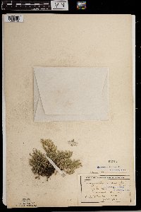 Selaginella rupestris (L.) Spring 55545[1383758]Wheeler, William 10591901-09-10 United States, Minnesota, Rock, On the Mound, Luverne;Blue Mounds State Park;N;;, 43.654136 -96.212807 |
MIN:Plants | 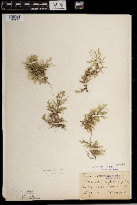 Selaginella rupestris (L.) Spring 55546[1383879]Ballard, C. B11291892-08-00 United States, Minnesota, Goodhue, Zumbrota, Goodhue Co.;;N;;, 44.294132 -92.669081 |
MIN:Plants | 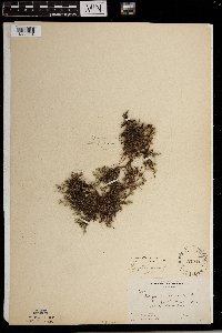 Selaginella rupestris (L.) Spring 55547[1383964]Butters, F.; et al. 29551915-06-21 United States, Minnesota, Fillmore, Lanesboro;;;;, 43.72083 -91.97667 |
Google Map
Google Maps is a web mapping service provided by Google that features a map that users can pan (by dragging the mouse) and zoom (by using the mouse wheel). Collection points are displayed as colored markers that when clicked on, displays the full information for that collection. When multiple species are queried (separated by semi-colons), different colored markers denote each individual species.