University of Minnesota
http://www.umn.edu/
612-625-5000
http://www.umn.edu/
612-625-5000
Minnesota Biodiversity Atlas
Bell Museum
Dataset: MIN-Plants
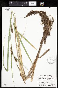
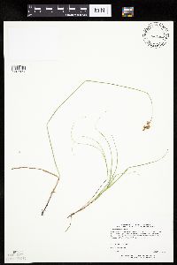
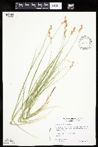
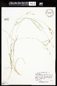
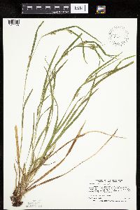
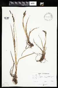
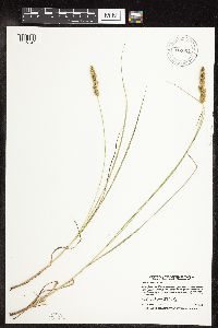
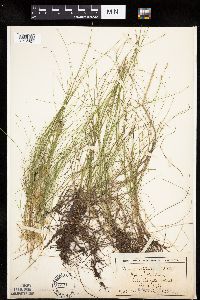
Taxa: Carex
Search Criteria: excluding cultivated/captive occurrences
Bell Museum plants | |
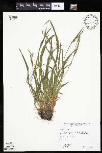
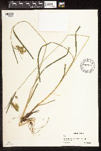
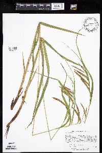
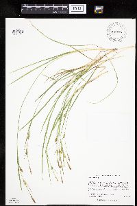
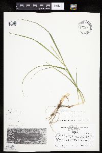
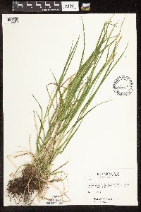
MIN:Plants | Carex blanda Dewey 426803[1007591]Wheeler, Gerald 199841999-06-11 United States, Minnesota, Carver, Carver County ... Ca. 2 mi. NW of Victoria on Rte. 11; Carver Park Reserve ... SW1/4 Sec. 2 T116N R24W (Laketown 2);Carver Park Reserve County Park;116N;24W;2, 44.884273 -93.672712 |
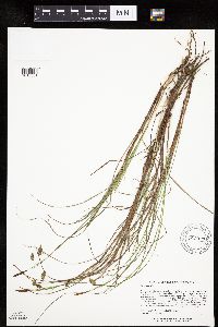
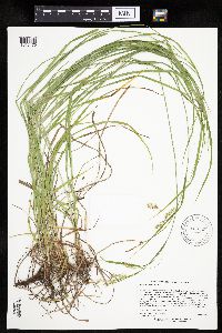
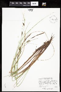
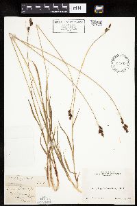
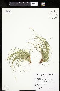
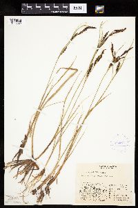
MIN:Plants | Carex limosa L. 913920[1013081]Lee, Michael MDL39462005-06-09 United States, Minnesota, Becker, Two Inlets State Forest. Becker County...Two Inlets State Forest...northeast of One Acre Lake and southeast of Ten Acre Lake, 3-3/4 miles south-southeast of Two Inlets...T141N R36W SW1/4 of NE1/4 of SE1/4 Sec. 26. 141N 36W 26, 46.99982 -95.201476 |
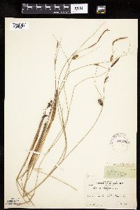
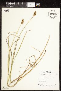
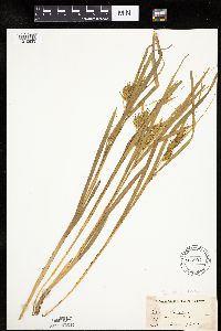
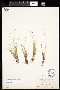
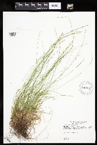
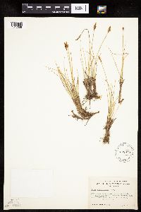
MIN:Plants | Carex lasiocarpa subsp. americana (Fernald) Hultén 221829[1012685]Cooper, William 1521909-07-22 United States, Michigan, Keweenaw, Tobins Harbor, Isle Royale;Isle Royale National Park |
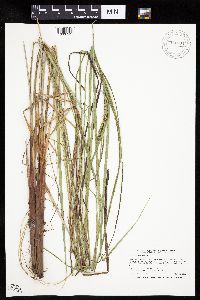
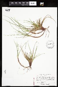
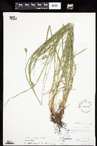
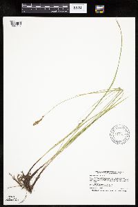
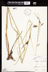
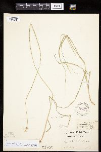
MIN:Plants | Carex aquatilis Wahlenberg 911304[1006741]Smith, Welby 247231994-07-13 United States, Minnesota, Polk, Polk County...About two miles north of the town of Gully...T 150N R 39W NW1/4 of NW1/4 of Sec 23;Gully Fen Scientific Natural Area;150N;39W;23, 47.8008333 -95.615 |
MIN:Plants | Carex NULL 904453[1106834]Lawrence, Donald s.n.1953-08-18 United States, Alaska, Glacier Bay National Monument, Camp Muir.;Glacier Bay National Park;;;, 58.797845 -136.458473 |
MIN:Plants | Carex sprengelii Dewey ex Sprengel 917045[1016476]Lee, Michael; et al. MDL36192004-06-15 United States, Minnesota, Becker, Sucker Creek County Park. Becker County ... Sucker Creek Park on the southeast side of Big Detroit lake, three miles southeast of the city of Detroit Lakes ... T138N R41W NW1/4 of NE1/4 Sec. 13. 138N 41W 13, 46.767387 -95.806082 |
MIN:Plants | Carex cristatella Britton 472756[1109549]Nation, R. 94-4361994-07-24 United States, Minnesota, Mower, Lake Louise State Park. Mower Co.; Tract #2. T101N R14W NW1/4 of NW1/4 of Sec 28;Lake Louise State Park;101N;14W;28, 43.522099 -92.518958 |
MIN:Plants | Carex novae-angliae Schweinitz 515520[1113017]Greenlee, Jack United States, Minnesota, Lake, Detailed locality information protected. This is typically done to protect rare or threatened species localities. |
MIN:Plants | Carex tonsa var. tonsa (Fernald) E. P. Bicknell 903947[1017421]Lee, Michael MDL39322005-06-06 United States, Minnesota, Todd, Lawrence Lake WMA. TODD COUNTY ... Lawrence Lake State Wildlife Management Area, three miles southeast of Staples ... Lawrence Lake, just east of the small outlet ditch near the public water access ... T133N R32W NE1/4 of SW1/4 of SE1/4 Sec.19. 133N 32W 19, 46.318349 -94.768477 |
MIN:Plants | Carex crawei Dewey 459917[1008818]Wheeler, Gerald 163811997-06-30 United States, Minnesota, Swift, Swift County ... Ca. 9.1 mi. W of Kerkhoven on Rte. 5, 2.1 mi. W of jct. of Rte. 6 and Rte. 31, S of road; NE1/4 of NE1/4 Sec. 23 T120N R39W (Cashel 23). 120N 39W 23, 45.187887 -95.522127 |
MIN:Plants | Carex atherodes Sprengel 912469[1007003]Smith, Welby 229071993-07-14 United States, Minnesota, Sibley, Sibley County... On the north side of Indian Lake, about 4 miles west of Gaylord... T113N R29W NW1/4 of SW1/4 of Sec 21;;113N;29W;21, 44.5791667 -94.3341667 |
MIN:Plants | Carex cephalophora Muhlenberg ex Willdenow 436825[1008610]Smith, Welby 168851990-06-18 United States, Minnesota, Waseca, Goose Lake [Was. County] Wildlife Management Area. Waseca County...Goose Lake County Park; at the southwest end of Goose Lake, about 2 miles east of Waseca... T 107N R 22W NW!/4 of SW1/4 of Sec 14. 107N 22W 14, 44.0705556 -93.4436111 |
MIN:Plants | Carex nardina Fries 636346[1013732]Disrud, D. s.n.1969-08-16 United States, Washington, Pierce, Pierce Co.: Mt. Rainier - top of 3rd Burroughs.;Mount Rainier National Park, 3048m |
MIN:Plants | Carex gynandra Schweinitz 437931[1011263]Lee, Michael MDL29792001-06-27 United States, Minnesota, Cook, Finland State Forest / North Shore. Cook County ... Along the shore of Lake Superior 4 1/2 miles southwest of Schroeder ... 50 yards (inland) from the lake shore ...T58N R5W SW1/4 of SE1/4 of SE1/4 Sec.16. 058N 05W 16, 47.508097 -90.969873 |
MIN:Plants | Carex lasiocarpa subsp. americana (Fernald) Hultén 904651[1012628]Lee, Michael MDL36132004-06-14 United States, Minnesota, Becker, Greenwater Lake Scientific Natural Area / White Earth Indian Reservation. BECKER COUNTY....Greenwater Lake Scientific & Natural Area, 5 1/2 miles west-northwest of Ponsford...northeast shore of Greenwater Lake ... NW1/4 of SW1/4 of NE1/4 Sec.33. 141N 38W 33, 46.983894 -95.497699 |
MIN:Plants | 485997[1010633]Rand, Edward; et al. s.n.1891-07-02 United States, Maine, Hancock, Mount Desert Island ... upper Hadlock Pond;Acadia National Park |
MIN:Plants | Carex normalis Mackenzie 571465[1013776]Hartley, Thomas 70221959-06-30 United States, Iowa, Allamakee, Driftless Area. Bear Creek. Waterloo Township.;;100N;06W;33 |
MIN:Plants | 399506[1015959]Spetzman, L. 4551947-08-11 United States, Alaska, Canning River; Sublick Spring, north opening;Arctic National Wildlife Refuge;;;, 69.4833298 -146.1666718 |
MIN:Plants | Carex novae-angliae Schweinitz 438196[1113011]Gerdes, Lynden United States, Minnesota, Lake, Detailed locality information protected. This is typically done to protect rare or threatened species localities. |
MIN:Plants | Carex disperma Dewey 429622[1009774]Gerdes, Lynden 38872000-05-22 United States, Minnesota, Lake, North Shore Highlands...T56N R07W S17NWNE. Lake County...Tettegouche State Park. Approx. 0.25 mile NNE of Mt. Trudee.;North Shore / Tettegouche State Park;056N;07W;17, 47.336137 -91.250866 |
MIN:Plants | Carex deflexa var. deflexa Hornemann 917134[1009279]Gerdes, Lynden 57262009-06-04 United States, Minnesota, Cook, Superior National Forest. T64N R01W S10SESWNE. Cook County, MN. Superior National Forest. Approximately 0.30 miles SW of Aspen Lake and east off Cty. Rd 66 (Clearwater Lake Road)...NAD 83 / 691356 / 5324080. 064N 01W 10, 48.0411111 -90.4325 |
MIN:Plants | Carex stricta Lamarck 477432[1118270]Myhre, K. 67061996-09-14 United States, Minnesota, Aitkin, Savanna Portage State Park. Aitkin County ... Located one mile northwest of Savana [sic] Portage State Park headquarters. Plants occur along the shores of Loon/Townline Lake ... T 50N R 23W SE1/4 of SE1/4 of Sec 12. 050N 23W 12, 46.831456 -93.200268 |
MIN:Plants | Carex communis var. communis L.H. Bailey 482174[1009412]Gerdes, Lynden 40042000-07-05 United States, Minnesota, Lake, North Shore. T57n R06W S19SENW. Lake County; Mary's Mountain. Little Marais. Feature approx. 1.0 mile wet of the Hwy 61 and Lake Cty. 6 junction.. 057N 06W 19, 47.408042 -91.140007 |
MIN:Plants | Carex rostrata Stokes 454142[1015798]Gerdes, Lynden 42482000-08-22 United States, Minnesota, Lake, Lake County ... Finland, MN ... Wetland shore of Kangus Lake ... T57N R07W S26NESENE;Finland State Forest / North Shore;057N;07W;26, 47.393547 -91.182496 |
MIN:Plants | Carex castanea Wahlenberg 477363[1008542]Gerdes, Lynden 39052000-05-22 United States, Minnesota, Lake, South-easterly of the Raven Rock feature alon multi-use trail. NWNE of section;North Shore / Tettegouche State Park;056N;07W;16, 47.336179 -91.229406 |
MIN:Plants | Carex lasiocarpa subsp. americana (Fernald) Hultén 484288[1012677]Smith, Welby 278841999-06-11 United States, Minnesota, Otter Tail, Inman Wildlife Management Area. Otter Tail County ... Inman State Wildlife Management Area; about 6 miles SE of Henning ...T133N R37W SW1/4 of SW1/4 of Sec 34. 133N 37W 34, 46.2827778 -95.3458333 |
MIN:Plants | Carex umbellata Schkuhr ex Willdenow 477577[1118524]Dana, R. 990071999-07-01 United States, Minnesota, Dodge, Hythecker Prairie Scientific Natural Area. Dodge County ... Hythecker Prairie Scientific and Natural Area ... Coll. in releve plot DNR-7905 ... T107N R18W SE1/4 SW1/4 SE1/4 Sec. 31. 107N 18W 31, 44.0472221 -93.0638885 |
MIN:Plants | Carex rostrata Stokes 907781[1015807]Smith, Welby; et al. 310802008-08-05 United States, Minnesota, Saint Louis, Boundary Waters Canoe Area Wilderness / Superior National Forest. St. Louis County...Clark Lake in the Boundary Waters Canoe Area Wilderness, Superior National Forest...T 63N R 14W NE1/4 of SW1/4 of Sec 23. 063N 14W 23, 47.9213889 -92.0877778 |
MIN:Plants | Carex novae-angliae Schweinitz 485991[1113029]Rand, Edward; et al. United States, Maine, Hancock, Detailed locality information protected. This is typically done to protect rare or threatened species localities. |
MIN:Plants | Carex blanda Dewey 426811[1007592]Wheeler, Gerald 187931998-05-27 United States, Minnesota, Meeker, Ca. 3.5 mi. NW of Dassel. (Dassel Township). N1/2 NW1/4 NW1/4 of section;;119N;29W;17, 45.116786 -94.347745 |
MIN:Plants | Carex emoryi Dewey 919848[1010415]Smith, Welby 222491993-06-02 United States, Minnesota, Watonwan, Watline Wildlife Management Area. Watonwan County ... Watline State Wildlife Management Area, about 2 miles southwest of St. James ...T106N R32W NW1/4 of NE1/4 of Sec 34. 106N 32W 34, 43.9463889 -94.6686111 |
MIN:Plants | Carex tuckermanii Dewey 921312[1017657]Lee, Michael MDL35162003-08-04 United States, Minnesota, Todd, Todd County...north of Mound Lake, two miles south-southeast of Burtrum, four miles east-northeast of Grey Eagle... T127N R32W SE1/4 of SW1/4 of NE1/4 Sec. 2. 127N 32W 2, 45.838715 -94.674655 |
MIN:Plants | Carex cryptolepis Mackenzie 909819[1009225]Lee, Michael MDL44092007-06-27 United States, Minnesota, Wadena, Yaeger Lake Wildlife Area. Wadena County...Yaeger Lake Wildlife Management area...east side of Yaeger Lake, six miles northwest of Nimrod, seven miles southeast of Menahga...along...boardwalk...T137N R34W S1/2 of SE1/4 of SW1/4 Sec. 3, N1/2 of NE1/4 of NW1/4 Sec. 10...UTM: 5174001N 349727E. 137N 34W 0, 46.708292 -94.965298 |
MIN:Plants | Carex microglochin microglochin Wahlenberg 548468[]Spetzman, L. 39761951-08-07 United States, Alaska, Arctic North Slope ... Anaktuvuk Pass, North side;Gates of the Arctic National Park;;;, 68.2833333 -151.4166667, 610m |
MIN:Plants | Carex houghtoniana Torrey ex Dewey 903824[1011592]Lee, Michael MDL39582005-06-10 United States, Minnesota, Becker, Two Inlets State Forest. Becker County...Along the upper Dinner Creek drainage, two miles north of Two Inlets...conifer swamp complex west of Little Dinner Lake...R36W SE1/4 of NE1/4 of NE1/4 Sec. 34. 142N 36W 34, 47.072586 -95.223353 |
MIN:Plants | Carex alopecoidea Tuckerman 447736[]Anonymous 1552 United States, Minnesota, [no further data];;;;, 46 -94 |
MIN:Plants | Carex pluriflora Hult̩n 382605[1014843]Morse, Marius s.n.1944-07-17 United States, Alaska, Aleutian Islands ... Adak Island;Aleutian Islands Wilderness;;;, 51.88 -176.65806 |
MIN:Plants | Carex feta L.H. Bailey 233471[1010484]Congdon, J. s.n.1893-06-15 United States, California, Mariposa, Snow Creek, Mariposa County;Yosemite National Park |
MIN:Plants | Carex magellanica Lamarck 479118[1013361]Smith, Welby 158341989-07-20 United States, Minnesota, Mille Lacs, Mille Lacs Kathio State Park. Mille Lacs County...Mille Lacs Kathio State Park, about 5 miles northwest of Onamia...NE1/4 SE1/4 sec. 10, T 42N R 27W. 042N 27W 10, 46.1336111 -93.7272222 |
MIN:Plants | Carex peckii Howe 909807[1014207]Smith, Welby 245931994-07-11 United States, Minnesota, Koochiching, Koochiching County...About 3 mi east of Northome...south side of Tuefer Lake...T151N R28W SW1/4 of NE1/4 of Sec 27;;151N;28W;27, 47.8694444 -94.2183333 |
MIN:Plants | Carex umbellata Schkuhr ex Willdenow 904340[1017789]Gerdes, Lynden 53582007-05-14 United States, Minnesota, Lake, Superior National Forest. T60N R11W S04 SENWNE Lake County ... Superior National Forest. Approximately 10.0 miles east of Babbitt ... Near western edge of FR 428 ... NAD 83 / 595666 / 5285654. 060N 11W 4, 47.7172222 -91.7244444 |
MIN:Plants | Carex meadii Dewey 920894[1013451]Lee, Michael MDL34412003-06-26 United States, Minnesota, Todd, Todd County...Spohn Wildlife Management Area...2.5 miles north of West Union...T127N R35W SE1/4 of NW1/4 of SW1/4 Sec. 4;Spohn Wildlife Management Area;127N;35W;04, 45.838886 -95.089317 |
MIN:Plants | Carex raynoldsii Dewey 234803[1015320]Congdon, J. s.n.1894-08-15 United States, California, Tuolumne, Soda Springs, Tuolumne County;Yosemite National Park |
MIN:Plants | 75966[1008498]Eggleston, W. 16811899-07-29 United States, New Hampshire, Coos, White Mountains ... Alpine Garden, Mt. Washington |
MIN:Plants | Carex praegracilis W. Boott 914632[1014891]Smith, Welby 225541993-06-22 United States, Minnesota, Stevens, Stevens County...Between TH 9 and the BN railroad tracks, about 4 miles south-southeast of Donnelly...T 125N R 42W NW1/4 of NE1/4 of Sec 17. 125N 42W 17, 45.6427778 -95.9752778 |
MIN:Plants | Carex tribuloides Wahlenberg 699668[1017498]Ziegler, S.; et al. 10781975-06-05 United States, Wisconsin, Vernon, Vernon Co.; Island 8; Mississippi River mile #688.4; T14N R7W Sec 18 ... Large island E side of main channel;Upper Mississippi National Wildlife Refuge, 193m |
MIN:Plants | Carex eburnea Boott 478126[1010113]Wheeler, Gerald 193371998-06-23 United States, Minnesota, Carver, Carver County ... Ca. 0.5 mi. SSW of East Union of Rte. 40; W of road ... bluff overlooking Bevens Creek ... NE1/4 SE1/4 Sec. 3 T114N R24W (San Francisco 3). 114N 24W 3, 44.710583 -93.694235 |
MIN:Plants | Carex brunnescens subsp. sphaerostachya (Tuckerman) Kalela 905434[1008089]Gerdes, Lynden 47862003-07-22 United States, Minnesota, Lake, Superior National Forest. T60N R06W S31SWNE. Lake County...Superior National Forest. Lupus Lake area, approx. 10.18 miles ENE of Isabella, MN and 0.15 mile NE of Lupus Lake. 060N 06W 31, 47.637629 -91.139643 |
MIN:Plants | Carex lyngbyei Hornemann 520253[1013265]Lawrence, Donald s.n.1952-08-21 United States, Alaska, Glacier Bay National Monument. "Cooper's station #26".;Glacier Bay National Park;;;, 58.797428 -136.838127 |
MIN:Plants | Carex stipata var. stipata Muhlenberg ex Willdenow 490991[1016715]Capistrant, A. AMC12051998-07-24 United States, Minnesota, Ramsey, Ramsey Co, MN. T29N R22W S21;;029N;22W;21, 44.984772 -93.055944 |
MIN:Plants | 584546[1008482]Ownbey, Gerald; et al. 34941963-06-29 United States, Minnesota, Clearwater, 2.1 miles north of Clearbrook. NW 1/4 of section;<No data>;149N;37W;17, 47.724444 -95.420116 |
MIN:Plants | Carex cristatella Britton 902935[1009133]Smith, Welby 296412006-07-05 United States, Minnesota, Waseca, Pawek Wildlife Management Area. Waseca County...Pawek State Wildlife Management Area, about 10 miles west-northwest of Owatonna...T108N R22W SE1/4 of NE1/4 of Sec 24. 108N 22W 24, 44.1480556 -93.4102778 |
MIN:Plants | 897126[1008472]Zager, S. 1152004-06-25 United States, Minnesota, Roseau, Roseau County...T 161 N R 37W 1/4 of 1/4 SENE Section 29;Beltrami Island State Forest;161N;37W;29, 48.7380556 -95.4422222 |
MIN:Plants | Carex lacustris Willdenow 907095[1012422]Smith, Welby 285692000-06-16 United States, Minnesota, Pennington, Oriniak Wildlife Management Area. Pennington County...Oriniak State Wildlife Management Area about 12 miles SE of Thief River Falls...T 152N R 41W SE1/4 of SE1/4 of Sec 18. 152N 41W 18, 47.9797222 -95.9466667 |
MIN:Plants | Carex bicknellii Britton 454306[1007471]Biederman, L. 3591999-08-11 United States, Minnesota, Rock, Rock County ... in Blue Mounds State Park ... T103N R45W SWNW26;Blue Mounds State Park;103N;45W;26, 43.6961 -96.202618 |
MIN:Plants | Carex brevior (Dewey) Mackenzie ex Lunell 461146[1007806]Wheeler, Gerald 164261997-06-30 United States, Minnesota, Chippewa, Chippewa Co.; Ca. 3 mi. SE of Montevideo; E1/2 NW1/3 Sec. 27 T117N R40W (Sparta 27);;117N;40W;27, 44.913039 -95.665625 |
MIN:Plants | Carex conoidea Willdenow 454108[1008799]Lee, Michael MDL22061998-06-30 United States, Minnesota, Morrison, Morrison Co.; Across gravel township road #317 from Rice Area Sportsman's Club State Wildlife Management Area three miles southwest of Buckman; T39N R31W NE1/4 of NE1/4 of NW1/4 Sec. 24. 039N 31W 24, 45.860313 -94.14625 |
MIN:Plants | Carex NULL 484097[1106813]Kaul, R.; et al. 29391984-05-19 United States, Minnesota, Steele, Steele County ... along Straight River, Kaplan's Woods.;;107N;20W;, 44.066112 -93.226071 |
MIN:Plants | Carex aquatilis Wahlenberg 417379[1006852]Spetzman, L. 41751950-07-17 United States, Alaska, Arctic North Slope ... Noatak & Kugururok R.;Noatak National Preserve;;;, 67.9666672 -161.9166718, 152m |
MIN:Plants | Carex subnigricans Stacy 528919[1017088]Sharsmith, C. 38281938-08-22 United States, California, Tulare, Chagoopa Plateau ... Kern Riber [sic] drainage, Tulare County.;Kings Canyon National Park, 3048m |
MIN:Plants | Carex foenea Willdenow 221833[1010628]Cooper, William 3171909-08-09 United States, Michigan, Keweenaw, Greenstone Id, Isle Royale;Isle Royale National Park |
MIN:Plants | 234768[1118647]Congdon, J. s.n.1898-08-08 United States, California, Tuolumne, Soda Springs, Tuolumne County;Yosemite National Park |
MIN:Plants | Carex eburnea Boott 435091[1010099]Lee, Michael MDL22571998-07-19 United States, Minnesota, Wabasha, Dorer Memorial Hardwood State Forest. Wabasha Co.; Upper reaches of West Indian Creek 4-1/2 miles north-northeast of Plainview; T109N R11W SE1/4 of SE1/4 of SW1/4 Sec. 21, SW1/4 of SW1/4 of sW1/4 Sec. 21. 109N 11W 21, 44.229394 -92.13969 |
MIN:Plants | Carex NULL 233351[1106838]Congdon, J. s.n.1898-08-02 United States, California, Mariposa, Crescent Lake;Yosemite National Park |
MIN:Plants | Carex cryptolepis Mackenzie 482173[1009181]Gerdes, Lynden 43072000-09-20 United States, Minnesota, Lake, T56N R08W S02NESE. Lake County ... Silver Bay. Aproximately 1.0 mile NW of the Lax Lake public boat access. Wetland/ drainage just south of the forest road.. 056N 08W 2, 47.364812 -91.314433 |
MIN:Plants | Carex petasata Dewey 233141[1014831]Congdon, J. s.n.1898-08-07 United States, California, Mariposa, Cathedral Trail, Mariposa County;Yosemite National Park |
MIN:Plants | Carex crawfordii Fernald 482398[1008954]Anderson, Craig 9232000-06-20 United States, Minnesota, Pope, Pope Co.; T125N R36W: 1/4 of NE1/4 of SW1/4 of Sect. 29;Grove Lake Wildlife Management Area;125N;36W;29, 45.606838 -95.232635 |
MIN:Plants | Carex tuckermanii Dewey 471820[1017651]Gerdes, Lynden 39602000-06-12 United States, Minnesota, Lake, North Shore / Tettegouche State Park. T56N R07W S18NENW Lake County ... Tettegouche State Park ... Approximately .25 mile SW of Tettegouche Lake. Pond is adjacent to main hiking trail & south of the Cedar Lake spur trail.. 056N 07W 18, 47.336163 -91.272302 |
MIN:Plants | 912079[1018123]Rowe, Erika ERR2632007-07-24 United States, Minnesota, Hubbard, Paul Bunyan State Forest. Hubbard County...0.5 mile east of State Hwy 64; 10 meters south of Kabekona Forest Rd in Paul Bunyon SF...T142N R32W NWNW S16. 142N 32W 16, 47.1188889 -94.7441667 |
MIN:Plants | Carex media R. Brown ex Richardson 438958[1013497]Lee, Michael United States, Minnesota, Lake, Detailed locality information protected. This is typically done to protect rare or threatened species localities. |
MIN:Plants | Carex eburnea Boott 461038[1010095]Wheeler, Gerald 157381997-05-24 United States, Minnesota, Nicollet, Near Fort Ridgely State Park, just E of the jct. of Rte. 4 and Rte. 5. SW1/4 NE1/4 SW1/4 of section;;111N;32W;05, 44.449166 -94.715206 |
MIN:Plants | Carex intumescens Rudge 221953[1012261]Cooper, William 3311909-08-10 United States, Michigan, Keweenaw, Lake Richie, Isle Royale;Isle Royale National Park |
MIN:Plants | Carex prairea Dewey 438477[1015021]Smith, Welby 256141995-05-16 United States, Minnesota, Lyon, Lyon County...In Camden State Park, about 10 miles southwest of Marshall...T 110N R 42W NE1/4 of SE1/4 of Sec 5;Camden State Park;110N;42W;05, 44.36 -95.9172222 |
MIN:Plants | Carex vulpinoidea Michaux 484266[1018353]Husveth, J. 96-2521996-07-09 United States, Minnesota, Hennepin, Hennepin County ... T119N R25W SW1/4 of the NE1/4 of S2;;119N;25W;02, 45.144089 -93.796362 |
MIN:Plants | Carex merritt-fernaldii Mackenzie 488822[1007884]Gerdes, Lynden; Walewski, J. 37411999-08-05 United States, Minnesota, Cook, East end of Hungry Jack Lake on the Honeymoon Bluff Trail/Overlook. SENW of section;Superior National Forest;064N;01W;02, 48.055879 -90.415017 |
MIN:Plants | Carex fuliginosa Schkuhr 408269[1010640]Spetzman, L. 18921949-07-11 United States, Alaska, Arctic North Slope ... Anaktuvuk Pass;Gates of the Arctic National Park;;;, 68.2833333 -151.4166667, 762m |
MIN:Plants | Carex rosea Schkuhr ex Willdenow 917179[1015680]Smith, Welby 224111993-06-15 United States, Minnesota, Brown, MinnRiver Wildlife Management Area. Brown County ... In the Minnesota River Valley (River Valley Wildlife Management Area), about 4 miles northwest of New Ulm ... T110N R31W SE1/4 of SW1/4 of Sec 2. 110N 31W 2, 44.3566667 -94.5241667 |
MIN:Plants | Carex microptera Mackenzie 447782[1118806]Bright, R. 73-2161973-00-00 United States, Idaho, Bear Lake, [no further data] |
MIN:Plants | Carex stipata var. stipata Muhlenberg ex Willdenow 913673[1016712]Smith, Welby 243121994-07-02 United States, Minnesota, Polk, Polk County... Along the south side of the Sand Hill River, about 1.5 miles west of Fertile... T147N R44W NE1/4 of SW1/4 of Sec 19. 147N 44W 19, 47.5325 -96.3116667 |
MIN:Plants | Carex spectabilis Dewey 520305[1016411]Lawrence, Donald s.n.1952-08-19 United States, Alaska, Tlingit Point area.;Glacier Bay National Park;;;, 58.7577778 -136.18 |
MIN:Plants | Carex limosa L. 915057[1013058]Smith, Welby; et al. 314072009-08-28 United States, Minnesota, Cook, Boundary Waters Canoe Area Wilderness / Superior National Forest. Cook County...Boundary Waters Canoe Area Wilderness, Superior National Forest...unnamed lake/pond between Wanihigan and Mulligan Lakes...T 63N R 3W NW1/4 of SE1/4 of Sec 1. 063N 03W 1, 47.9655556 -90.6427778 |
MIN:Plants | Carex cephalophora Muhlenberg ex Willdenow 477032[1008609]Wheeler, Gerald 192411998-06-16 United States, Minnesota, Le Sueur, Le Sueur County ... Ca. 1.2 mi. S of Ottawa on Rte. 23; Ottawa Bluffs ... W1/2 NE1/4 Sec. 3 T110N R26W;Ottawa Bluffs, The Nature Conservancy;110n;26W;3, 44.362618 -93.939379 |
MIN:Plants | Carex arcta Boott 484996[1006862]Gerdes, Lynden; et al. 31871998-08-16 United States, Minnesota, Cook, Boundary Waters Canoe Area Wilderness / Superior National Forest. T65N R02E S22NWNW. Cook County ... Superior National Forest, BWCAW. 'Dry Pond'; south of Mountain Lake and approx. 0.4 mile WNW of Pemmican Lake.. 065N 02E 22, 48.100223 -90.177463 |
MIN:Plants | Carex lemmonii W. Boott 233580[1012721]Congdon, J. s.n.1883-06-29 United States, California, Mariposa, Big Tree Grove, Mariposa County;Yosemite National Park |
MIN:Plants | Carex deweyana Schweinitz 222038[1009694]Butters, F.; et al. s.n.1920-06-19 United States, Wisconsin, Polk, south of bridge, St. Croix Falls, Polk County;Saint Croix National Riverway;;;, 45.426173 -92.644787 |
MIN:Plants | Carex lenticularis limnophila (T. Holm) Cronquist 539824[1012775]Viereck, Les 17051956-08-03 United States, Alaska, Mt. McKinley Nat. Park ... Vicinity of Wonder Lake;Denali National Park;;;, 63.4500008 -150.8333282, 579m |
MIN:Plants | Carex hoodii Boott 233170[1011530]Congdon, J. s.n.1899-08-26 United States, California, Tuolumne, Upper Tuolumne Meadows, Tuolumne County;Yosemite National Park |
MIN:Plants | Carex umbellata Schkuhr ex Willdenow 436884[1017801]Smith, Welby 266471997-06-20 United States, Minnesota, Cook, Cook County...At the southwest corner of South Fowl Lake...T 64N R 3E NW1/4 of SW1/4 of Sec 12;Pigeon River Cliffs, The Nature Conservancy / Superior National Forest;064N;03E;12, 48.0433333 -90.0072222 |
MIN:Plants | Carex meadii Dewey 916514[1013454]Smith, Welby 224011993-06-11 United States, Minnesota, Winona, Whitewater Wildlife Management Area. Winona County...Whitewater State Wildlife Management Area, about 6 miles south-southwest of Weaver...T 108N R 10W NW1/4 of SE1/4 of Sec 23. 108N 10W 23, 44.1394444 -91.9861111 |
MIN:Plants | Carex ormostachya Wiegand 914828[1013952]Gerdes, Lynden United States, Minnesota, Cook, Detailed locality information protected. This is typically done to protect rare or threatened species localities. |
MIN:Plants | Carex hookerana Dewey 233210[]Congdon, J. s.n.1901-07-07 United States, California, San Mateo, Spring Valley, San Mateo County |
MIN:Plants | Carex radiata (Wahlenberg) Small 907634[1015298]Gerdes, Lynden 53812007-06-05 United States, Minnesota, Itasca, Chippewa National Forest / Leech Lake Indian Reservation. T146N R29W S29NENESE. Itasca County, MN. Leech Lake Reservation. Chippewa National Forest. Approximately 5.0 miles NE of Schley, MN and 0.23 miles east of a bend in the Mississippi River...NAD 83 / 396423 / 5254451. 146N 29W 29, 47.429882 -94.051744 |
MIN:Plants | Carex grisea Wahlenberg 492737[1011172]Harris, Fred 960271996-06-06 United States, Minnesota, Sibley, Sibley County ... north of the Rush River valley 4 miles west of Henderson ... T 112N R 26W NW1/4 of NW1/4 of Sec 7;;112N;26W;07, 44.52206 -93.999598 |
MIN:Plants | Carex aquatilis Wahlenberg 588192[1006856]Willard, B. 613081961-08-15 United States, Colorado, Grand, Grand Co.: Upper Paradise Park ... Rocky Mt. Nat. Park.;Rocky Mountain National Park, 3231m |
MIN:Plants | Carex vulpinoidea Michaux 912064[1118724]Smith, Welby 229561993-07-15 United States, Minnesota, Fillmore, Beaver Creek Wildlife Management Area. Fillmore County...Beaver Creek State Wildlife Management Area; about 9.5 miles south of Spring Valley...T101N R31W NE1/4 of SW1/4 of Sec 21. 101N 31W 21, 43.5341667 -92.4025 |
MIN:Plants | Carex leptalea Wahlenberg 77854[1012924]Wheeler, William 8281900-08-00 United States, Michigan, Keweenaw, Tobin Harbor, Isle Royale;Isle Royale National Park |
MIN:Plants | Carex stricta Lamarck 907050[1017041]Smith, Welby 286312000-06-22 United States, Minnesota, Lyon, Lyon County ... On Sam Tutt's farm, about 2 miles E-SE of Florence ... T109N R43W SW1/4 of SE1/4 of Sec 22;;109N;43W;22, 44.2283333 -96.0055556 |
MIN:Plants | Carex hitchcockiana Dewey 478171[1011508]Wheeler, Gerald 200851999-07-16 United States, Minnesota, Nicollet, Nicollet County ... Ca. 1.2 mi. W of Rte. 15 on Rte. 21, E of road ... SW1/4 NW1/4 NW1/4 Sec. 16 T110N R30W;;110N;30W;16, 44.33349 -94.442024 |
MIN:Plants | Carex aquatilis Wahlenberg 408593[1006849]Lachenbruch, A. 161949-08-15 United States, Alaska, Arctic North Slope ... Killik R.;Gates of the Arctic National Park;;;, 68.25 -154.1666718, 671m |
MIN:Plants | Carex stricta Lamarck 907040[1017040]Smith, Welby 286422000-06-23 United States, Minnesota, Pipestone, Altona Wildlife Management Area. Pipestone County...Altona State Wildlife Management Area, about 2 miles southeast of Verdi...T108N R46W NE1/4 of NW1/4 of Sec 1. 108N 46W 1, 44.1966667 -96.3219444 |
Google Map
Google Maps is a web mapping service provided by Google that features a map that users can pan (by dragging the mouse) and zoom (by using the mouse wheel). Collection points are displayed as colored markers that when clicked on, displays the full information for that collection. When multiple species are queried (separated by semi-colons), different colored markers denote each individual species.
